Zreče (Terme Zreče) - Golika
Starting point: Zreče (Terme Zreče) (395 m)
| Lat/Lon: | 46,37066°N 15,39006°E |
| |
Time of walking: 50 min
Difficulty: easy marked way
Altitude difference: 214 m
Altitude difference po putu: 240 m
Map: Pohorje 1:50.000
Recommended equipment (summer):
Recommended equipment (winter): ice axe, crampons
Views: 260
 | 2 people like this post |
Access to the starting point:
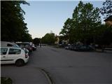
Exit the Styria motorway at the exit for Slovenske Konjice, then follow the signs for Zreče. When you arrive in Zreče, park in the parking lot next to Terme Zreče.
Path description:
From the parking lot, continue along the road, which continues northwards, and soon you will arrive at a marked crossroads, where the marked path to Gorenje and Rogla branches off to the right, and we continue down the stairs, where we pass the NOB memorial and arrive at another road, which we follow to the right. The way ahead leads past the Petrol station, and when you reach the roundabout, go left in the direction of Brinjeva gora (route marker PP1). The way ahead leads across the Dravinja River, and when the road turns right a little further on, go slightly left, again in the direction of Brinjeva gora. Just a little further on the road splits again, and this time we continue to the right in the direction of the hiking trail to Brinjeva gora (left driving road towards Brinjeva gora), where the trail leads us past the chapel. After the chapel, we continue slightly left and start climbing up the narrow asphalt road, which leads us past the water supply facility to the farm, after which we leave the road and continue left in the direction of the marked trail to Brinjeva gora. The way forward leads us along the cart track, which climbs crosswise through the forest, and when you leave the forest, you climb crosswise along the pasture to the asphalt road, where the path splits.
Continue sharp right (left down Zreče, right St Martin and Brinjeva gora), where you follow the tarmac road for a short distance, and after a few 10 paces turn left on cart track, which climbs crosswise above the road. A few minutes higher, reach another road and follow it to the right (straight across the Brinjeva gora - St. Mary's Church road). A little further on, the road gently descends and then leads you along beautiful views and past individual houses. When you reach the higher ridge of Brinjeva gora, go right (St Mary's Church and the viewpoint on the left) and follow the worse road for a further minute to the top of Golika, where St Neže Church stands.
The description refers to the situation in September 2022, the pictures are from June and September 2022.

Pictures:
 1
1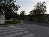 2
2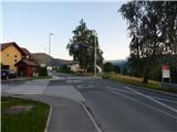 3
3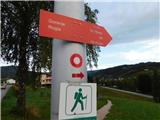 4
4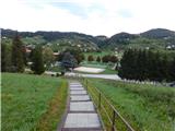 5
5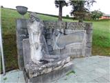 6
6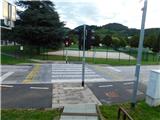 7
7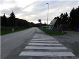 8
8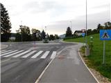 9
9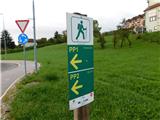 10
10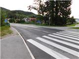 11
11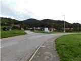 12
12 13
13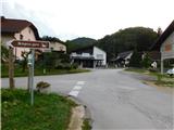 14
14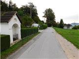 15
15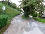 16
16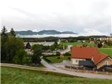 17
17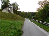 18
18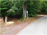 19
19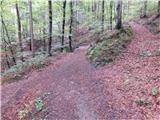 20
20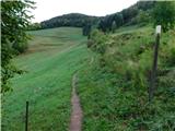 21
21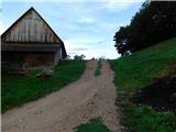 22
22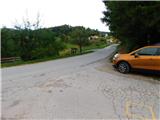 23
23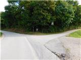 24
24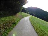 25
25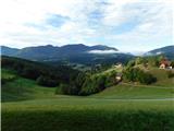 26
26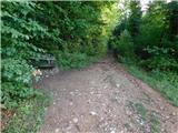 27
27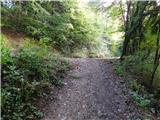 28
28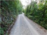 29
29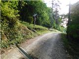 30
30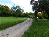 31
31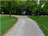 32
32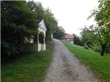 33
33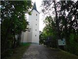 34
34 35
35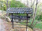 36
36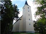 37
37
Discussion about the trail Zreče (Terme Zreče) - Golika