Zvodno - Pečovniška koča on Grmada (via Hudičev graben)
Starting point: Zvodno (300 m)
| Lat/Lon: | 46,2079°N 15,2877°E |
| |
Name of path: via Hudičev graben
Time of walking: 1 h 25 min
Difficulty: difficult marked way
Altitude difference: 320 m
Altitude difference po putu: 350 m
Map:
Recommended equipment (summer): helmet
Recommended equipment (winter): helmet, self belay set, ice axe, crampons
Views: 10.585
 | 2 people like this post |
Access to the starting point:
From the motorway Ljubljana - Maribor, take the exit Celje - centre and continue in the direction of Laško and Zidanega Most. The road continues through the centre of Celje and then leads to a roundabout with a water meter. Here, continue "straight ahead" (towards Laško and Zidani Most) and follow the road to the next traffic lights, where you turn left, cross the Savinja River and then turn right at the junction after the bridge. Continue to the underpass under the railway line and a few metres further to the fire station in Zagrad. Continue straight ahead and follow the road through the village, which leads us higher up to a small crossroads, where we see signs for Suhi potok to the right and Hudičev graben to the right. Continue straight ahead and after a short climb you will reach the NOB monument, after which the road gradually becomes a lay-by. Pay attention here, as you will soon reach the start of the marked path leading through Hudičev graben. Park a few 10 m down the road in one of the car parks (there are not many of them).
The starting point can also be reached from Dolenjska and Zasavje. In this case, drive first to Rimske Toplice and then through Laško to the starting point.
Path description:
From the starting point, continue along the road for another 10 m, and then the signs for Hudičev graben direct you to the right on a footpath that first climbs gently along the fence. A little further on, you reach a larger meadow, where the path gets a little lost, but as you continue in the same direction, there are no major problems with orientation. At the end of the meadow, we step onto the wide cart track, which after a few steps leads us to the Hudičevski brok, where there is a marked crossroads.
Continue in the direction of Hudičův grabno (left Srebotnik) and continue the ascent along the path that runs along and along the bed of Hudičovski potok (Hudičovski potok). The gorge soon narrows and we are helped by rungs, clips and ropes. Next, with the help of a number of fixed safety gear, we climb just above the stream bed, where we can see a number of waterfalls.
Higher up, the gorge widens and the path turns slightly to the right, where it starts to climb steeply through the forest. If you take the path in the spring months, you will be able to see numerous stands of hellebores as you climb through the forest. After a few minutes' ascent, the path will lay down and lead to a wide cart track along which you will continue on the path. The way ahead, which follows the increasingly wide cart track on the south side, bypasses the little-known Bavč and leads us only a little further on to a crossroads where the path through the Dry Brok joins us from the right.
Continue in the direction of Hotel Celjska koča and continue the ascent along a wide macadam road, from which the path to Tolsti vrh and Svetina soon branches off to the left. Continue along the road, but follow it only as far as a lonely farm. Here, signs for Grmada direct you to the right on a path that climbs between a dwelling house and an outbuilding. The ascent continues along the gently sloping cart track, which crosses the lane of the forest and leads us only a little further to the Pečovniška hut.

Pictures:
 1
1 2
2 3
3 4
4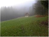 5
5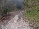 6
6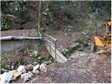 7
7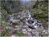 8
8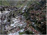 9
9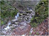 10
10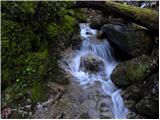 11
11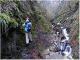 12
12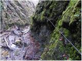 13
13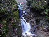 14
14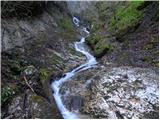 15
15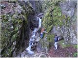 16
16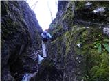 17
17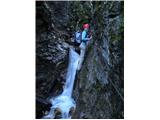 18
18 19
19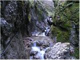 20
20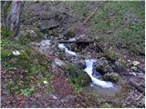 21
21 22
22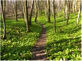 23
23 24
24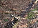 25
25 26
26 27
27 28
28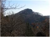 29
29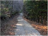 30
30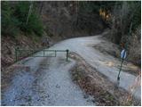 31
31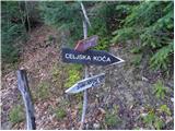 32
32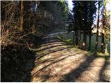 33
33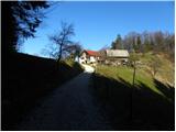 34
34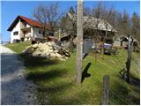 35
35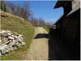 36
36 37
37 38
38 39
39 40
40 41
41 42
42
Discussion about the trail Zvodno - Pečovniška koča on Grmada (via Hudičev graben)
|
| petruša10. 04. 2010 |
Mene pa zanima, če je kdo v kratkem šel po tej poti in kakšne so razmere, če še je kaj snega. lp
|
|
|
|
| Tadej10. 04. 2010 |
Po tej poti sem šel v soboto 3.4.2010, takrat so tudi nastale zgornje fotografije. Snega na poti ni več.
|
|
|