Zvodno - Tolsti vrh above Celjska koča (via Suhi potok)
Starting point: Zvodno (300 m)
| Lat/Lon: | 46,20666°N 15,29126°E |
| |
Name of path: via Suhi potok
Time of walking: 1 h 30 min
Difficulty: easy marked way
Altitude difference: 534 m
Altitude difference po putu: 534 m
Map: Celjska kotlina, 1:50000
Recommended equipment (summer):
Recommended equipment (winter):
Views: 2.230
 | 1 person likes this post |
Access to the starting point:
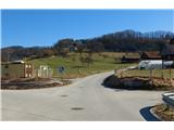
From the motorway Ljubljana - Maribor, take the exit Celje - centre and continue in the direction of Laško and Zidanega Most. The road takes you through the centre of Celje, and then leads you to a roundabout with a water meter in front of the Savinja River. Here, continue "straight ahead" across the first bridge (towards Laško and Zidani Most) and follow the road to the next traffic lights, where you turn left across the second bridge over the Savinja. Just after the bridge, turn right at the junction. After about 500 metres, you will come to an underpass under the railway line (with a large parking lot on the right and the starting point in Zagrad), drive through it and continue straight on past the fire station in Zagrad. Follow the road through the village, and higher up in Zvodno it leads to a small crossroads by the bus station, where you will see signs and signposts for Grmada to the right, Hudičev graben to the right, and the parking lot 1. 2 km to the right. Continue straight towards the new parking lot (2020) and the road gradually becomes flatter and narrower. The new parking lot - our starting point is just off the road in front of the fish farm. Here we can park and start our excursion along the paths that lead either past Marija, through Hudičev graben or through Suhi potok.
The starting point can also be reached from Dolenjska and Zasavje. In this case, first drive to Rimske Toplice and then through Laško to the second bridge described above, from where you continue as described.
Path description:
From the starting point, the signpost for Hudičev graben directs us back in the direction of Celje, but after a few metres we do not continue sharp left towards Hudičev graben, but continue along the asphalt road for about 300 metres, and then turn sharp left into the forest, where we follow the signposts for the Pečovniško hut and the marked trail through the forest in the direction of the Suhega potok. Shortly at the crossroads, turn sharp left onto the marked path coming from the abandoned quarry on the right. Immediately after the crossroads, there is a sharp right turn, where there are also two cairn stones for easy orientation. Continue steeply up towards the top of the abandoned quarry, where the well-trodden and marked path is soon joined by the bed of the Dry Brook. In the world between Bavč on the left and Grmada on the right, there is no sign that the stream is dry, for it is still bubbling away playfully. Shortly before a large rock and a sign with a fanciful message, you reach a crossroads, where you continue left along the Bavč (to the right along the Grmada, the path leads to the Pečovniško hut on the Grmada). Continue up the macadam road coming from the right. Higher up, at the next fork in the forest roads, turn right in the direction of Čatr, but only about 100 metres to the next fork, where a marked trail to Tovsto summit branches off sharply upwards to the left. The trail first climbs through the forest, crosses the new asphalt road Svetina - Hotel Celjska koča, continues into the forest and leads us above Zorkov quarry, which we go around on the right. A little further on, the marked path from Svetina joins us from the left. There is only a few minutes of moderate ascent to the vegetated summit. The viewpoint is a few steps further west, from where you can see the southern and western Posavje hills.

Pictures:
 1
1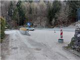 2
2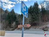 3
3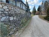 4
4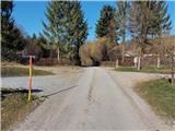 5
5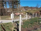 6
6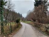 7
7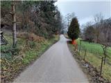 8
8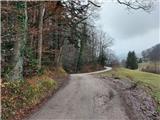 9
9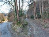 10
10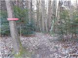 11
11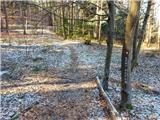 12
12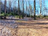 13
13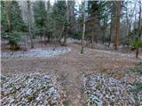 14
14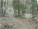 15
15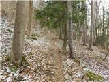 16
16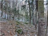 17
17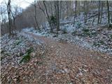 18
18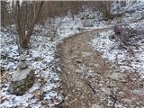 19
19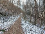 20
20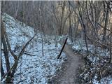 21
21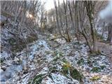 22
22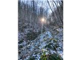 23
23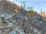 24
24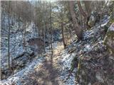 25
25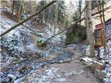 26
26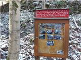 27
27 28
28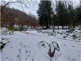 29
29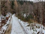 30
30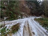 31
31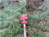 32
32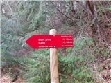 33
33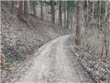 34
34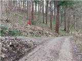 35
35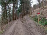 36
36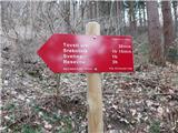 37
37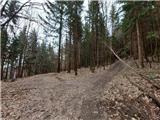 38
38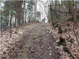 39
39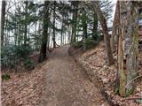 40
40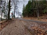 41
41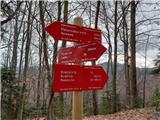 42
42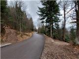 43
43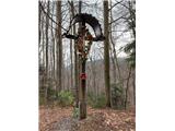 44
44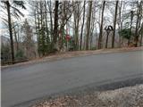 45
45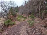 46
46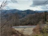 47
47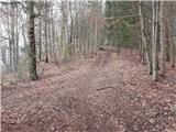 48
48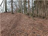 49
49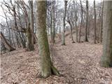 50
50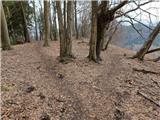 51
51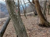 52
52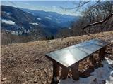 53
53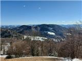 54
54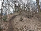 55
55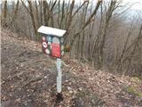 56
56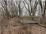 57
57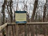 58
58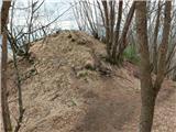 59
59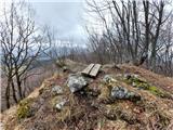 60
60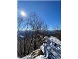 61
61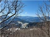 62
62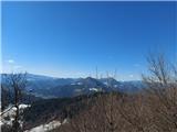 63
63
Discussion about the trail Zvodno - Tolsti vrh above Celjska koča (via Suhi potok)