Starting point: Čepulje (672 m)
| Lat/Lon: | 46,2326°N 14,2832°E |
| |
Time of walking: 40 min
Difficulty: easy marked way
Altitude difference: 165 m
Altitude difference po putu: 185 m
Map: Škofjeloško in Cerkljansko hribovje 1:50.000
Recommended equipment (summer):
Recommended equipment (winter):
Views: 7.817
 | 2 people like this post |
Access to the starting point:
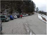
First, drive to Kranj (Labore), and from there continue in the direction of Stražišče, Pševo and Svetje Jošto nad Kranjem. Higher up, we reach the village of Javornik, from which a road branches off to the right towards the top of Jošto, and we continue straight on in the direction of Čepulje. When you reach Čepulje, continue to the right (Planica and Lavtarski Vrh on the left) and continue driving for about 100 m to a marked parking area.
Path description:
From the parking lot, head up the steep road towards Špičasti hrib and Sveti Mohorje. The road, which passes through the forest, climbs higher and then continues with some short ascents and descents. When the road turns to the western slopes after about 20 minutes of walking, pay attention, because on the right side you will see the beginning of a footpath leading to Špičasti hrib (the branch is marked, but it is harder to see). Take the above-mentioned footpath, which climbs steeply at first, and then quickly leads to the above-mentioned peak in a moderate ascent through the forest.
Pictures:
 1
1 2
2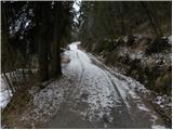 3
3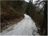 4
4 5
5 6
6 7
7 8
8 9
9 10
10 11
11 12
12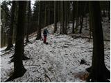 13
13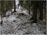 14
14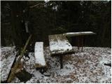 15
15
Discussion about the trail Čepulje - Špičasti hrib
|
| baloncek0518. 06. 2021 12:47:21 |
Koliko je hoje od Spicastega hriba do Jošta?
|
|
|
|
| Kranj18. 06. 2021 17:30:43 |
Pol urce,lepa krožna pot če štartate z ribogojnice.
|
|
|
|
| grega_p19. 11. 2024 13:50:23 |
Vrh ima nekaj razgleda (delno zaradi poseke, nekaj pa zaradi odpadlega listja), na SZ proti Jamniku in delu Gorenjske ter na J in JV proti Planici in savski ravni do Šmarne gore.
Prav tako se s severne poti za Gladkim hribom nahaja lepo razgledišče proti Besnici.
|
|
|