Begunje (Krpin) - Pleče (by road)
Starting point: Begunje (Krpin) (585 m)
| Lat/Lon: | 46,3821°N 14,203°E |
| |
Name of path: by road
Time of walking: 1 h 40 min
Difficulty: easy unmarked way
Altitude difference: 546 m
Altitude difference po putu: 550 m
Map: Karavanke - osrednji del 1:50.000
Recommended equipment (summer):
Recommended equipment (winter):
Views: 475
 | 1 person likes this post |
Access to the starting point:
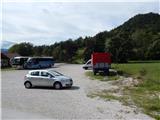
Exit the Gorenjska motorway at exit Radovljica or Lesce, then follow the signs for Begunje na Gorenjskem. When you arrive at Begunje na Gorenjskem, first follow the signs for Tržič and Draga, then turn left after the hospital in the direction of the Krpin Recreation Centre, which you will reach after about 100 metres of further driving. Park in the large parking lot next to the recreation centre.
Path description:
From the starting point, continue along the asphalt road, which climbs easily and leads past the signpost to the Mravlinc waterworks in a few minutes, where parking is also possible. Here, cross the bridge on the asphalt road and climb up to the last house, where the road becomes macadam and turns right. Just a little further on, we reach a crossroads where the path leading to St Peter's Church branches off to the left, and we continue straight on, passing the water reservoir to the next crossroads, where we take a sharp left in the direction of St Peter's Church and Sankaška koča (the straight road leading to the Blatnice gorge).
There is a steep climb up a dirt road, which makes some serpentines higher up, and after a while it splits and you continue slightly to the right (the left road leads to St. Peter's Church).
The road turns into cart track just a little further on, and we follow it straight on at the crossroads or keep to the slight right forks. All the forks reach a marked path higher up, and we follow it to the right, climbing up to the fork where the path to Smokuški vrh branches off to the left (the tree says S. V. ).
At this crossroads, leave the marked trail, which continues straight towards Poljška mountain pasture and continue to the right on the unmarked cart track, which takes us in a few steps to the turning point of the nearby forest road.
From the turning point, turn right onto cart track, which descends gently and then begins to climb gently. Here we get some views of Karawanks, and cart track, which gradually passes onto the slopes of Pleč, starts to climb moderately. As you ascend, preferably before the end of cart track, continue to the right where there are several fainter paths, and we climb one of them to an indistinct ridge and then follow a slightly more visible path to the nearby summit.
Description and pictures refer to the situation in 2019 (September).

Pictures:
 1
1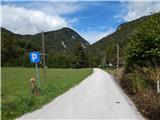 2
2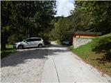 3
3 4
4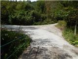 5
5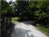 6
6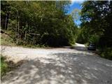 7
7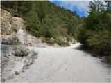 8
8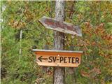 9
9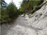 10
10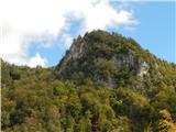 11
11 12
12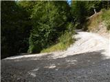 13
13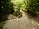 14
14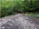 15
15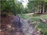 16
16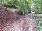 17
17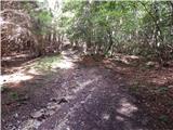 18
18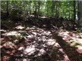 19
19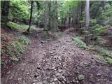 20
20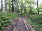 21
21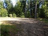 22
22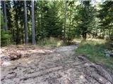 23
23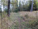 24
24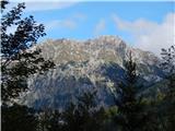 25
25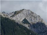 26
26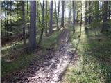 27
27 28
28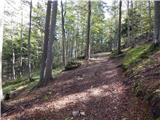 29
29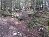 30
30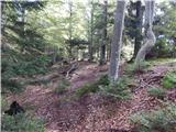 31
31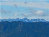 32
32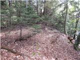 33
33 34
34 35
35
Discussion about the trail Begunje (Krpin) - Pleče (by road)