Starting point: Bodental (1055 m)
| Lat/Lon: | 46,4791°N 14,2325°E |
| |
Time of walking: 1 h 10 min
Difficulty: easy unmarked way
Altitude difference: 458 m
Altitude difference po putu: 458 m
Map: Karavanke - osrednji del 1:50.000
Recommended equipment (summer):
Recommended equipment (winter): ice axe, crampons
Views: 3.603
 | 1 person likes this post |
Access to the starting point:
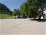
From the motorway Ljubljana - Jesenice, take the exit Ljubelj (Tržič) and then continue in the direction of Klagenfurt / Klagenfurt. After the Ljubelj tunnel, the road starts to descend and we follow it to a junction where the road to Žabnica / Bodental turns left. When we arrive in the above-mentioned place, we park in the large parking lot next to the Sereinig inn. There is also a chapel at the starting point and a small ski slope in winter.
Path description:
From the parking lot, take route No 2, which continues along the fenced garden and takes you across the meadow to a small crossroads in a few minutes.
From the crossroads, continue along the forest road on the left, along which you will soon see a sign for path No 12. The forest road slowly begins to climb and soon turns into a forest, through which it then climbs for some time. Higher up, the forest thins out, opening up some views, and the road then crosses a torrent, beyond which you reach a memorial to the two downed airmen. Just above the memorial, the road makes a sharp left turn, but we leave it just here and continue straight up the marked mountain path, which returns to the road at a small wooden hut. We walk along the road for a while, and then the signs for path 12 direct us right to a nearby torrent, which we then climb along for a short time. From the torrent the path passes into vegetated coppice and, higher up, joins the fainter cart track. Continue briefly on cart track, then the marked path turns to the right, where it becomes fully surfaced for a short distance.
After a short crossing, you arrive in a small undistinguished valley, which starts to climb steeply. Higher up, the path turns to the right and after a few minutes makes a left turn, taking us just a little higher up to the ridge of the Burnt Edge.
Here, leave the marked path leading to Rjautza and continue the ascent to the sharp right on the ridge of the Burnt Edge. In less than 5 minutes, on a less well-trodden path, you will reach the undistinguished summit of the Burnt Edge.

Pictures:
 1
1 2
2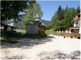 3
3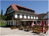 4
4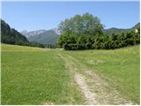 5
5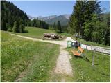 6
6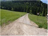 7
7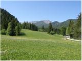 8
8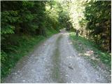 9
9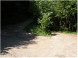 10
10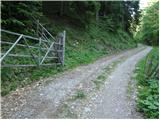 11
11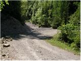 12
12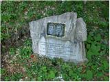 13
13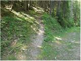 14
14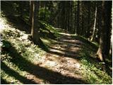 15
15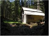 16
16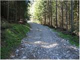 17
17 18
18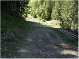 19
19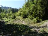 20
20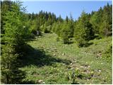 21
21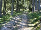 22
22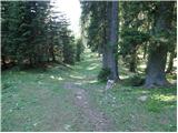 23
23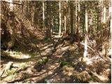 24
24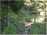 25
25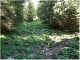 26
26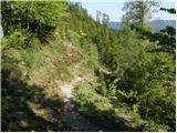 27
27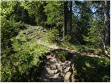 28
28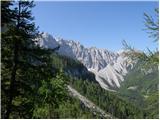 29
29 30
30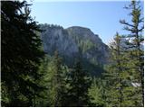 31
31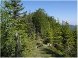 32
32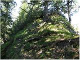 33
33 34
34
Discussion about the trail Bodental - Požgani rob