Brda - Sveta Magdalena (Brda)
Starting point: Brda (551 m)
Time of walking: 40 min
Difficulty: easy marked way
Altitude difference: 167 m
Altitude difference po putu: 167 m
Map: Pohorje 1:50.000
Recommended equipment (summer):
Recommended equipment (winter):
Views: 3.050
 | 1 person likes this post |
Access to the starting point:
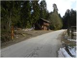
a) From the Ljubljana - Maribor motorway, take the Žalec exit and then continue in the direction of Velenje. At the main roundabout in Velenje, turn right and continue towards Slovenj Gradec and Dravograd. Shortly before Slovenj Gradec, at Turiška vas, turn right and follow the local road into the centre of Turiška vas. Here you continue along the main road, which turns right and then over the bridge over the Mislinja River to Brda. After the bridge, turn right and the road enters the forest, where it gradually climbs. In the part of the route where the road passes through the forest, park in a suitable place along the road (there are no suitable parking places higher up).
b) From Koroška, first drive to Slovenj Gradec, then continue to Velenje. A little after Slovenj Gradec, at Turiška vas, turn left and follow the local road into the centre of Turiška vas. Here, continue along the main road, which turns right, and then over the bridge over the Mislinja River to Brda. After the bridge, turn right and the road enters the forest, where it gradually climbs. In the part of the route where the road passes through the forest, park in a suitable place along the road (there are no suitable parking places higher up).
Path description:
From the starting point, continue along the road along which we parked, which after a few minutes leads us to a small crossroads where we continue left in the direction of the Merkač, Orter and Pegan homesteads. When you get to a small hamlet of a few houses, continue along the upper right road, where you can see the first markings (the signs for the European walking route E6 Baltic-Adriatic) just a little higher up. Here, continue right on cart track, which first climbs along the edge of the forest and then turns into fields and meadows. Cross the meadow on the less well-trodden cart track, and the path leads higher up to a forest road, which is only crossed as the ascent continues along a waymarked footpath. Orientation is much easier, as we are accompanied by quite dense and clearly visible markings. A little higher up, cross the macadam road once more and the trail turns into a dense forest, ending at the hunting observation post. There is a climb over a grassy hayfield, and the path quickly leads to a secluded farm where you step out onto the road. Continue along the road, and after a few minutes it leads to a marked crossroads by the chapel.
Here you continue to the right and in less than 5 minutes walk you reach the Church of St Magdalene.

Pictures:
 1
1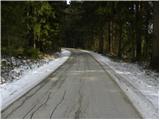 2
2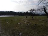 3
3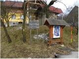 4
4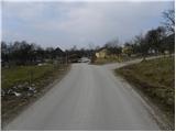 5
5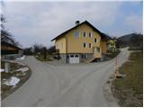 6
6 7
7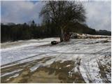 8
8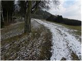 9
9 10
10 11
11 12
12 13
13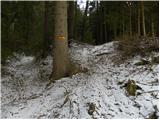 14
14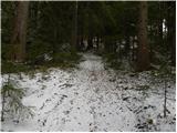 15
15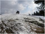 16
16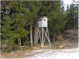 17
17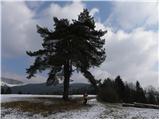 18
18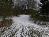 19
19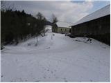 20
20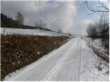 21
21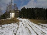 22
22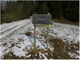 23
23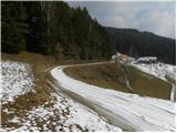 24
24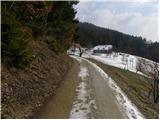 25
25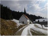 26
26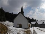 27
27
Discussion about the trail Brda - Sveta Magdalena (Brda)