Brezje pri Tržiču - Dobrča (on path Po robu and via Lešanska planina)
Starting point: Brezje pri Tržiču (677 m)
| Lat/Lon: | 46,3589°N 14,2787°E |
| |
Name of path: on path Po robu and via Lešanska planina
Time of walking: 2 h 35 min
Difficulty: easy marked way
Altitude difference: 957 m
Altitude difference po putu: 957 m
Map: Karavanke - osrednji del 1:50.000
Recommended equipment (summer):
Recommended equipment (winter):
Views: 31.094
 | 5 people like this post |
Access to the starting point:
From the Ljubljana - Jesenice motorway, take the Ljubelj exit and follow the road towards Tržič. Just before the petrol station at Tržič, turn right (towards Tržič) and then immediately left (towards Begunje) and drive on to the village Brezje pri Tržiču, where you park in the parking lot near the church.
Path description:
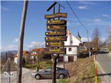
From the parking lot, continue along the road towards Begunj, but only as far as where it starts to descend. Here, the road to Bistriška planina branches off to the right (there are also mountain signs for Dobrča at the crossroads), but we walk along it for only a few minutes, then turn left at the crossroads in the direction of Dobrča (the right road leads to Bistriška planina).
From the crossroads, continue along the slightly worse road for about 1 minute, then the markings lead you right onto a footpath that continues along the fence. Climb moderately along the fence for a while and then, after about 20 minutes' walk from the starting point, arrive at the wide but steep cart track. Follow cart track up to a slightly thinner forest, where the markings point sharp right upwards. Continue climbing steeply through the forest and after 15 minutes of further walking you will reach an abandoned animal trough. Here the path turns to the left and climbs steeply below the undistinguished peak of Vaško. A little further on, you reach a small hamlet between the aforementioned peak on the right and the slopes of Dobrča on the left.
A short climb follows and the path leads to a place where you cross a nearby forest road (the road is crossed right at the point where it ends). Continue for some time along a wide and forested ridge, which you follow all the way to the paragliding airstrip, which is located on the southern slopes of Dobrča.
Here we continue to the right in the direction of Lešanská and Bistriška planina (straight ahead Koča na Dobrči and Dobrča - direct route) and continue along the worse road, which leads us only a little further to the next crossroads. This time continue slightly left (slightly right Bistriška planina) and start climbing steeply up the wide cart track. As cart track has a couple of forks in it, follow the markings carefully so as not to stray off the right path. After a climb of about half an hour from the paragliders' airstrip, we emerge from the forest onto the vast Lešanska planina, in the middle of which we reach an unmarked crossroads.
Continue right (shepherd's hut on the left at Lešanska planina for 50 metres and the possibility of continuing towards the huts at Dobrča and Dobrča) and continue the stacked ascent along the edge of mountain pasture. After a few minutes of further walking, or more precisely a few metres after the hunting observation post, continue to the left where, following a clearly visible path, you climb steeply to the top edge of mountain pasture, where you regain the cart track which you left at the hunting observation post. Follow Cart track to the left and cross it to the marked path leading from the Hut on Dobrča to the top of Dobrča. Here continue sharp right and after 5 minutes of further walking you will reach the summit.

Pictures:
 1
1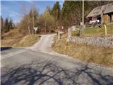 2
2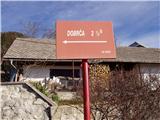 3
3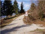 4
4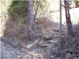 5
5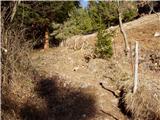 6
6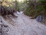 7
7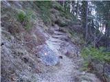 8
8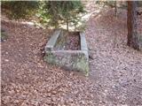 9
9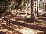 10
10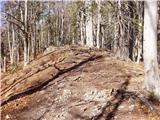 11
11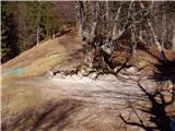 12
12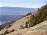 13
13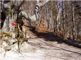 14
14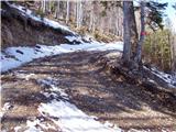 15
15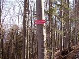 16
16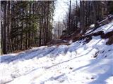 17
17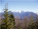 18
18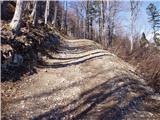 19
19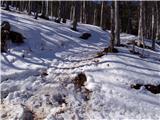 20
20 21
21 22
22 23
23 24
24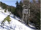 25
25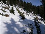 26
26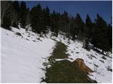 27
27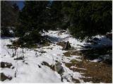 28
28 29
29 30
30 31
31 32
32 33
33 34
34 35
35 36
36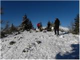 37
37 38
38
Discussion about the trail Brezje pri Tržiču - Dobrča (on path Po robu and via Lešanska planina)
|
| Guest18. 02. 2008 |
jaz bi vprašal kakšnega gosta ki je že bil na tem hribu če greš na to goro čez brezje pri tržiču z derezami  
|
|
|
|
| igva19. 02. 2008 |
V spodnjem delu ni snega, zgoraj nad 1200m, pa je dobro če imaš dereze. Kadar ni ledeno gre tudi brez njih seveda z večjo previdnostjo
|
|
|
|
| ciklama29. 12. 2012 |
Danes je bil v gorah res dan za izbrance. Na višini, ko je sonce premagalo meglo, je bilo res božansko! Prelep zaključek leta!
|
|
|