Celje - Chapel at Mary's below Srebotnik (on Celje mountain trail)
Starting point: Celje (241 m)
Name of path: on Celje mountain trail
Time of walking: 2 h 15 min
Difficulty: easy marked way
Altitude difference: 259 m
Altitude difference po putu: 500 m
Map:
Recommended equipment (summer):
Recommended equipment (winter):
Views: 1.515
 | 2 people like this post |
Access to the starting point:
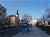
Celje, Slovenia's third-largest city, is practically reachable from several sides. Park somewhere between the train station and the bridge over the Savinja towards Laško. The problem could be that the car parks are mainly pay-per-use. . . if you arrive by train, of course, these problems disappear.
Path description:
The route starts at the bridge over the Savinja River at a sign with a panoramic view of the Celje Hills. The trail is practically the whole way to today's destination, except for a few tens of metres at the end of the trail, and is also the introductory part of the CPP - Celjska planinska trail. In the first part we walk along the path between the Savinja and the railway line to the confluence of the Voglajna and the Savinja. Continue over the bridge and under the railway line to the right and continue along the Pelikan Trail to the Old Castle.
From the castle, continue left steeply uphill past the inn and follow the well-trodden path through the village of Osenca. Follow the pleasant path, partly also the road, and soon the path from Teharje joins from the left. Continue on the asphalt road through Pečovje and follow the forks, mainly to the right, which are well marked.
In the forest part, the mountain trail from Štor joins from the left. Continue along the forest road across a small clearing by two or three houses/holidays and then left again along a slightly narrower forest path partly also logging trail higher up. The path then climbs again a little steeper and there are also a few steel cables on the left, more as a fence than as a handhold.
A crossroads is soon reached. Continue left, while straight up there is also a CPP marker or the inscription Srebotnik Peak on a tree trunk and a direction sign. Leave the CPP here and take the left for a few tens of metres of easy downhill path to reach today's destination.
The trail is about 5500 metres, 500 positive vertical metres and 240 negative vertical metres.

Pictures:
 1
1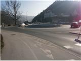 2
2 3
3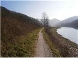 4
4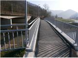 5
5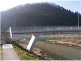 6
6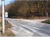 7
7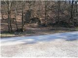 8
8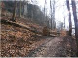 9
9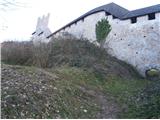 10
10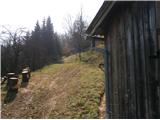 11
11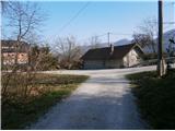 12
12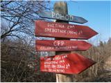 13
13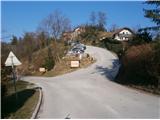 14
14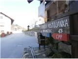 15
15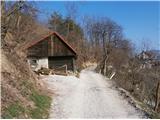 16
16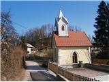 17
17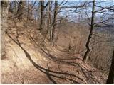 18
18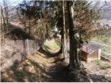 19
19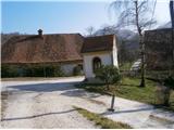 20
20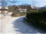 21
21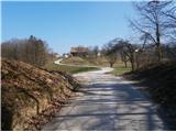 22
22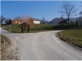 23
23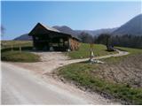 24
24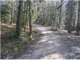 25
25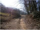 26
26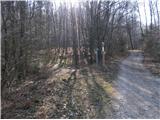 27
27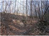 28
28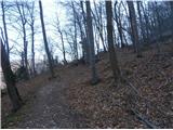 29
29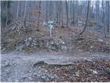 30
30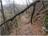 31
31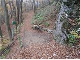 32
32 33
33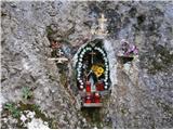 34
34
Discussion about the trail Celje - Chapel at Mary's below Srebotnik (on Celje mountain trail)
|
| bruny2. 03. 2016 |
V nasprotni smeri opisa sestop v torek 02.03.2016 v večernem času iz Celjskega hribovja v Celje...
|
|
|