Starting point: Činžat (426 m)
| Lat/Lon: | 46,54164°N 15,43268°E |
| |
Time of walking: 2 h 30 min
Difficulty: easy unmarked way
Altitude difference: 804 m
Altitude difference po putu: 804 m
Map: Pohorje 1:50.000
Recommended equipment (summer):
Recommended equipment (winter): ice axe, crampons
Views: 329
 | 1 person likes this post |
Access to the starting point:
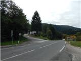
a) From the Maribor - Dravograd road, between the Fala HPP and the Ožbalt HPP, turn left towards Lovrenc na Pohorju (from the route of Dravograd turn right). On the other side of the Drava, start climbing along Radoljna, and at the marked crossroads go left towards Činžat and Rušy. There is some more ascent, and on the preval, where you can see the red mountain direction signs, the route described above begins. There are no parking places at the crossroads, so park a little further away in a suitable place.
b) Drive to Ruše, then follow the road towards Lovrenec na Pohorju. In the village Činžat you will arrive at a preval, where you will see red mountain direction signs, where the described route starts. There are no parking spaces at the crossroads, so park a little further away in a suitable place.
Path description:
From the starting point, follow the road marked Činžat and Huts na Klopni vrh. At first, walk along the asphalt road, which leads you past a few houses, and at the crossroads follow the markings and signs for the Hut on Klopni vrh. Above the village, the asphalt ends and the road passes into the valley of the Lampreht stream, along which we continue our ascent. The road then becomes asphalt and turns sharp right at 728 metres above sea level. There is a cross-country climb, gradually moving away from the stream. A few crossroads follow higher up, and we continue left at all of them. There is a moderate climb to the left and we reach the Sveti Križ chapel, from which we get some views of the surrounding countryside.
After the chapel, we pass the Lampreht homestead on the upper side, and then there is an easy ascent, which is made by crossing the slopes of the Lampreht summit for a longer distance. When the crossing is over, we return to the Lampreht stream, which we cross over a bridge, and just after the bridge, the path from Ruš via Zgornji Smolnik joins us from the left.
Continue straight on the wider road towards Koča na Klopnem vrhu, and at the next crossroads go straight on in the same direction (Areh and Šumik on the left). There is some more climbing along the stream and the path leads to Fišer's sawmill, where you go to the other side of the stream again.
Some 10 m further on from the stream, the marked path turns sharp left off the road and we continue along the road. The road turns into a forest after a signpost informing you to continue on the forest road at your own risk, and we leave it at the point where the first cart track turns sharp left. Continue along cart track, taking the bottom left cart track at a nearby fork. There is some easy walking and then a short, rather muddy section where a small stream is crossed. There are a few more forks, and we keep to the right forks. Higher up, we cross the dirt road we left lower down, and then continue right into the woods from a small clearing. The path ahead leads us along the older cart track, which climbs gently through the forest. At a fork, take the slightly left-hand cart track, which leads out of the forest into an overgrown coppice, where the path ends. From here it is a few steps to an indistinct summit.
Činžat - Sveti Križ 1:25, Sveti Križ - Lamprehtov vrh 1:05.
Description and figures refer to the situation in September 2021.

Pictures:
 1
1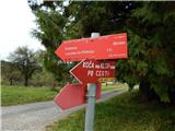 2
2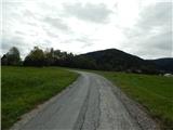 3
3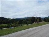 4
4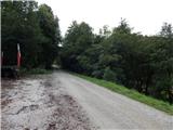 5
5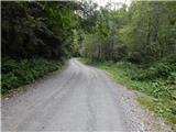 6
6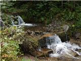 7
7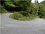 8
8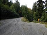 9
9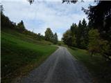 10
10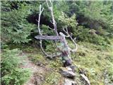 11
11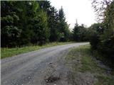 12
12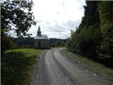 13
13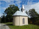 14
14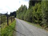 15
15 16
16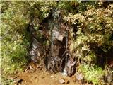 17
17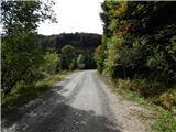 18
18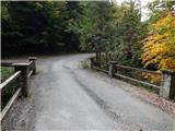 19
19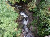 20
20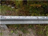 21
21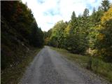 22
22 23
23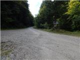 24
24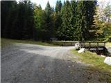 25
25 26
26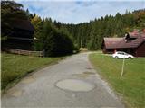 27
27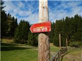 28
28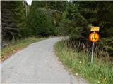 29
29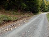 30
30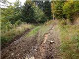 31
31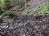 32
32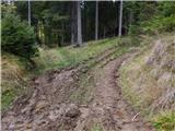 33
33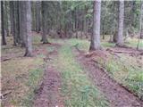 34
34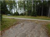 35
35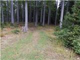 36
36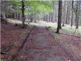 37
37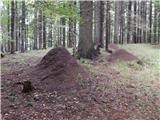 38
38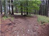 39
39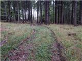 40
40 41
41 42
42
Discussion about the trail Činžat - Lamprehtov vrh