Dömös - Dobogó Kő (Rám Szakadék túra)
Starting point: Dömös (105 m)
Name of path: Rám Szakadék túra
Time of walking: 2 h 15 min
Difficulty: difficult marked way
Altitude difference: 594 m
Altitude difference po putu: 610 m
Map:
Recommended equipment (summer): helmet
Recommended equipment (winter): helmet, crampons
Views: 515
 | 2 people like this post |
Access to the starting point:
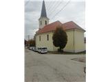
You arrive in Hungary via the Pince-Tornyszentmiklos border crossing. Continue on the motorway to Budapest, before which you turn in the direction of Györ. Leave the motorway at the Herceghalom/Zsambek exit and continue to Dorog. Just before the town, at the crossroads, turn towards Esztergom. In Esztergom, head east along the Danube towards Visegrad. When we arrive in Dömös, we park in the parking lot, which is located slightly above the church. The parking lot is not very visible from the main road. The parking fee is 1000 forints (as of 2019).
Path description:
From the church parking lot, continue south into the gorge along Kiralykut utca. For the first 100 m we follow the red signs, and after the first crossroads, where the path from the railway station joins, other paths and signs join us. Soon we leave the village and the asphalt and cross a small bridge into the forest. We continue up a winding path which leads us past the Vizbanya spring and the Szentfa Kapolna chapel.
After about 20 minutes, the Lukacs Arok trail branches off to the right, bypassing Ram Szakadek and suitable for descending.
Walk along the Malompatak stream gorge for another 5 minutes, then cross the forest road and the path becomes quite steep and rocky and slippery in places. The markings end higher up, but there is nowhere to miss as we continue up the picturesque gorge. Soon we reach the first fixed safety gear, which are not the classic steel ones, but iron ones. The path then climbs over slippery rocks and then becomes a transitional path. On the sloping part, the route also leads over the harder part, where you go along the wall without the fixed safety gear. Higher up, the gorge narrows further, and the path leads us past a memorial to those who were killed on this route. There is another unprotected part, and then we gradually reach the part where we start climbing up the ladders. Higher up, without fixed safety gear, we cross a smooth rock slab, followed by another narrow passage, and then the path turns slightly to the right. There is some more scrambling at fixed safety gear, and after a small bridge the harder part of the route ends, but not the steepness. There is a climb through the forest, through which steps are climbed. Soon we reach a crossroads and a resting place where the Lukacs Arok trail joins from the right.
A few 10 steps further on, we reach another crossroads, where the Malompatak Gorge trail joins, and the Pilismarot trail joins from the right.
Continue to the asphalt road, which you quickly leave. There is a long climb through lane of low forest and scrub, and higher up we cross another forest road and arrive a little higher on the ridge of Dobogo Kő mountain. The trail ahead turns slightly to the right and leads to a crossroads where the trail from Esztergom joins. The path continues along a wooded ridge, and higher up you reach the Rezső kilató lookout point. From here, it is about a 10-minute walk to the top of Dobogó Kő, where you will have a beautiful view to the north and east.
There are TV transmitters, a museum of Hungarian tourism and a few restaurants at the top.
Due to the wide fixed safety gear, the use of a self-protection kit is not possible.
I advise against climbing in rain and snow, as well as descending on the ascent route.
I recommend descending the Lukacs Arok route.

Pictures:
 1
1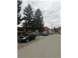 2
2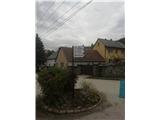 3
3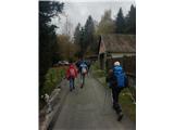 4
4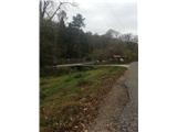 5
5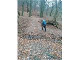 6
6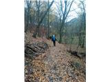 7
7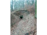 8
8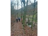 9
9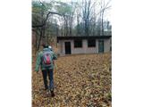 10
10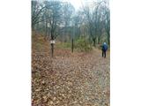 11
11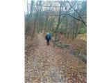 12
12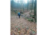 13
13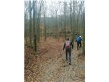 14
14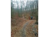 15
15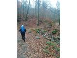 16
16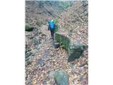 17
17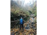 18
18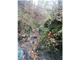 19
19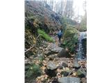 20
20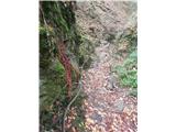 21
21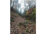 22
22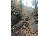 23
23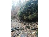 24
24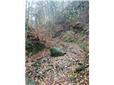 25
25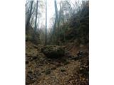 26
26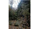 27
27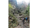 28
28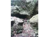 29
29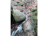 30
30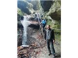 31
31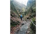 32
32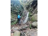 33
33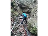 34
34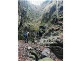 35
35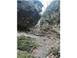 36
36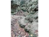 37
37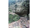 38
38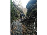 39
39 40
40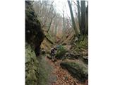 41
41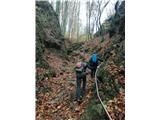 42
42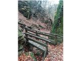 43
43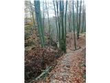 44
44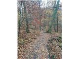 45
45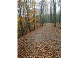 46
46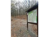 47
47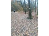 48
48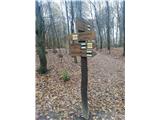 49
49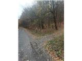 50
50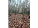 51
51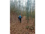 52
52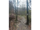 53
53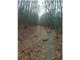 54
54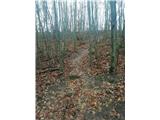 55
55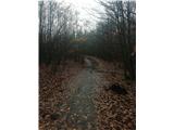 56
56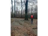 57
57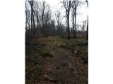 58
58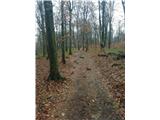 59
59 60
60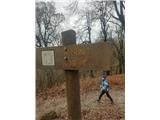 61
61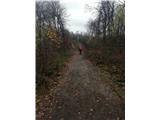 62
62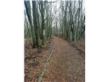 63
63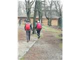 64
64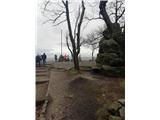 65
65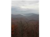 66
66
Discussion about the trail Dömös - Dobogó Kő (Rám Szakadék túra)