Dragomer - Strmca (via Debeli hrib)
Starting point: Dragomer (297 m)
| Lat/Lon: | 46,0181°N 14,3868°E |
| |
Name of path: via Debeli hrib
Time of walking: 1 h 15 min
Difficulty: easy marked way
Altitude difference: 175 m
Altitude difference po putu: 300 m
Map: Ljubljana - okolica 1:50.000
Recommended equipment (summer):
Recommended equipment (winter):
Views: 5.899
 | 1 person likes this post |
Access to the starting point:
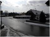
From the motorway Ljubljana - Koper, take the exit Brezovica, then continue along the parallel old road towards Vrhnika. After 4. 5 km of driving, from the point where you turn onto the old road, turn right towards the centre of Dragomera. As soon as we leave the main road, a marked path branches off to the right, initially a road towards Debele hill. Park somewhere in Dragomer, preferably near the sports ground.
Path description:
The route initially leads us along an asphalt road, which opens up a beautiful view of Dragomer. The asphalt soon ends, and the road passes into the forest, where we become aware of a marked mountain trail branching off to the right. The marked trail climbs relatively steeply at first, then passes to the ridge Liparjev grič, where it turns left and lays down. There is a short descent through lane of low scrub, then the path returns to the forest and starts to climb along the marked cart track. Cart track, which climbs mostly transversely to the left, is followed for some time, and then the markings lead us to a transitional path which is much steeper, but which is already quickly laid down. Higher up, the path joins another cart track, which gradually ascends to the unmarked ridge of Debele hill.
Here, the path from St. Lawrence (the church above Dragomer) joins first from the left, and a little further on from the right, the Cankar's path. Continue on the marked path, which gradually begins to descend and, with few exceptions, leads through the forest. When the path descends for some 10 m, we are joined on the right by the marked path from Ključ or the Pavliček homestead.
Here, too, we continue straight ahead and follow the path, which climbs gently, to the next crossroads nearby. Here, the path to the Ferjanka homestead branches off to the left, and we continue slightly to the right, following the path which leads us in a few minutes of further walking to the undistinguished and forested summit of Strmce.

Pictures:
 1
1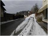 2
2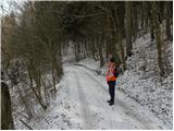 3
3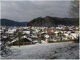 4
4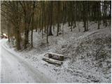 5
5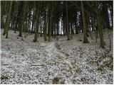 6
6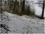 7
7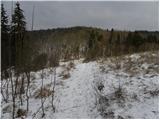 8
8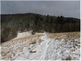 9
9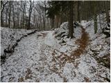 10
10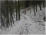 11
11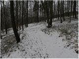 12
12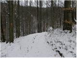 13
13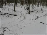 14
14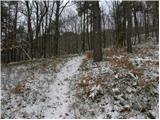 15
15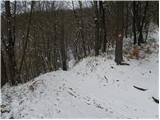 16
16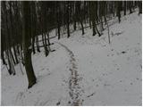 17
17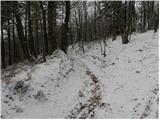 18
18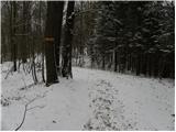 19
19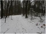 20
20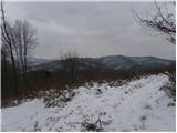 21
21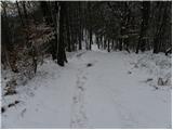 22
22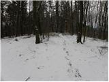 23
23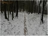 24
24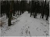 25
25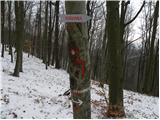 26
26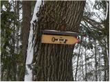 27
27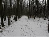 28
28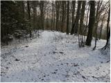 29
29 30
30
Discussion about the trail Dragomer - Strmca (via Debeli hrib)