Jagnjedovac - Stankov vrh (Bilogora)
Starting point: Jagnjedovac (202 m)
Time of walking: 40 min
Difficulty: easy marked way
Altitude difference: 106 m
Altitude difference po putu: 106 m
Map:
Recommended equipment (summer):
Recommended equipment (winter):
Views: 275
 | 1 person likes this post |
Access to the starting point:
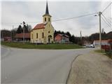
a) Arrive in Croatia via Border crossing Mursko Središče / Petišovci. Through Medžimurje we reach Koprivnica. Bypass the town on the ring road and follow the signs for Osijek. When you see the sign for Bjelovar, leave the bypass and then drive through Starigrad and Jagnjedovac, where you will leave your vehicle in the parking lot of the church or somewhere nearby.
b) The other option is to take the Zagreb-Varaždin motorway, where you take the Koprvinica, Bjelovar exit, but this motorway is not yet finished (state 2021) and is much more difficult to navigate.
Path description:
The route starts at the church in Jagnjedovac. There is also a signpost for the mountain hut on Aninem vrh. Go up the Koprivnica-Bjelovar road. When you leave the village, turn right on cart track, which starts to climb quite steeply. During the ascent, you pass a few houses and cart track becomes less steep and leads you to a field. The road returns to the Koprivnica-Bjelovar road.
This part of the route is very poorly marked.
Walk along the road for about a minute, then signs direct you left onto an unsealed but well-maintained road. Walk past some of the highest houses in Jagnjedovec, then into the forest.
Continue along the road, even though the signs direct you to the right to the saddle. The saddle used to be a checkpoint on the trail, but now it has been cut down. Continue along the forest road and after a few minutes' walk you will reach a crossroads where the paths from Glogovec and Anina vrh join from the left. At the crossroads there is also the Rajčevica forestry hut.
From the hut go right and after a few minutes our path from the road passes onto a narrower forest path, which leads us in a minute of further walking to Stankov vrh, the highest peak of Bilogora, where there are a few benches, a monument and a registration box.
The summit is in the forest and has no view.

Pictures:
 1
1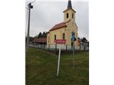 2
2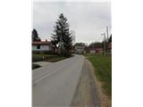 3
3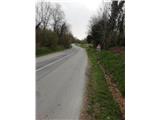 4
4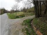 5
5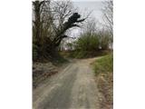 6
6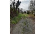 7
7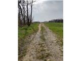 8
8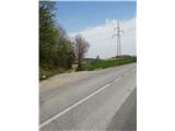 9
9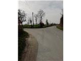 10
10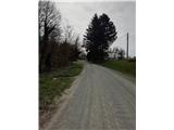 11
11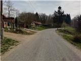 12
12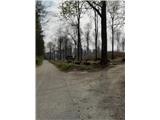 13
13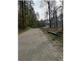 14
14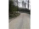 15
15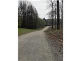 16
16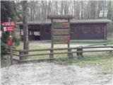 17
17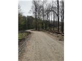 18
18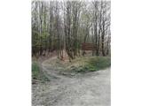 19
19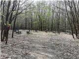 20
20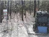 21
21
Discussion about the trail Jagnjedovac - Stankov vrh (Bilogora)