Kebelj - Črno jezero on Pohorje (via Kos)
Starting point: Kebelj (717 m)
| Lat/Lon: | 46,4106°N 15,4529°E |
| |
Name of path: via Kos
Time of walking: 2 h 25 min
Difficulty: easy marked way
Altitude difference: 479 m
Altitude difference po putu: 550 m
Map: Pohorje 1:50.000
Recommended equipment (summer):
Recommended equipment (winter): ice axe, crampons
Views: 405
 | 1 person likes this post |
Access to the starting point:
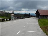
Take the Oplotnica exit (to get here from the Štajerska motorway, take the Slovenske Konjice or Slovenska Bistrica - south), then first follow the signs for Osankarica, then for the settlement Kebelj. When you arrive in Kebelj, turn left out of the centre of the settlement towards the cemetery, then park next to it.
Path description:
From the parking lot, continue along the road leading along the upper north side of the cemetery, and when the road ends after about 50 m, turn right along the marked path (Oplotnica on the left).
The way ahead leads along the marked cart track, which turns right before entering the forest and continues along the edge of the forest, and from the above-mentioned cart track, the markings direct us to the left to the narrower cart track, which continues through the forest. Follow the markings through the forest, and when the path turns slightly to the right, after a short crossing, a second path from the settlement Kebelj joins us from the right.
Go left here and you will quickly reach the ruins of Kebeljski or Zajčev Castle.
Go around the ruins on the left and follow the signs to the nearby asphalt road, where you go straight up. Just a little further on, the asphalt road turns right, and the path to Osankarica (the Kebelj Transversal Route) branches off to the left. Leave the asphalt road just a little further on, where the signs for the Black Lake direct you to the left into the forest. There is a short climb through the forest, and then past numerous rubbish bins we reach a nearby homestead (there is also a warning for a vicious dog from the opposite direction). At the homestead, the road becomes asphalt and we quickly return to the slightly wider asphalt road, which we continue our climb on. After a few minutes, the signs direct us left onto the grassy cart track, which we climb along the edge of the forest, and higher up, we pass a house and rejoin the asphalt road, which leads us to the next marked crossroads.
Continue left on the macadam road in the direction of the Black Lake (right along the asphalt road St. Three Kings and Black Lake past St. Three Kings). Walk along the macadam road for a few minutes and then turn right in the direction of the Black Lake. The way forward initially follows cart track, and a little higher up you climb over a clearing. After the clearing, we return to the forest and quickly climb up to the road near the Kos homestead, where we go a few steps to the right and then left on the marked cart track. We then climb through the forest, where we follow the markings, and the path leads us past a lookout point, from which we have a beautiful view. We continue to follow the markings, and the path soon leads us to a wider macadam road, which we just cross (Osankarica on the left, St. Trije kralji on the right).
A few minutes of climbing follow, and near the inexpressive Adam's Peak, the trail lays down and begins to descend gradually. A few more switchbacks follow, and the trail gradually turns into an increasingly boggy world, where the trail begins to lose its way. Follow the markings carefully here, taking care not to get boggy. Follow this path to the nearby Black Lake.
Kebelj - Zajčev grad 0:20, Zajčev grad - Črno jezero 2:05.
Description and pictures refer to the situation in April 2022.

Pictures:
 1
1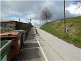 2
2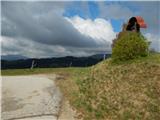 3
3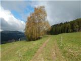 4
4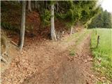 5
5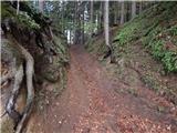 6
6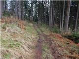 7
7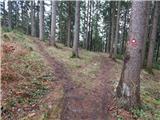 8
8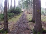 9
9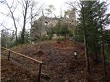 10
10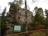 11
11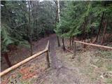 12
12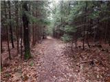 13
13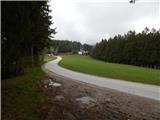 14
14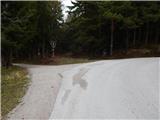 15
15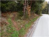 16
16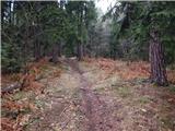 17
17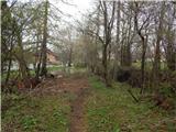 18
18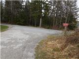 19
19 20
20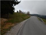 21
21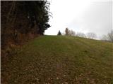 22
22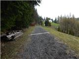 23
23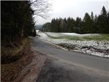 24
24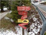 25
25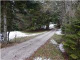 26
26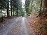 27
27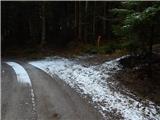 28
28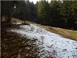 29
29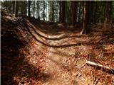 30
30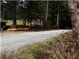 31
31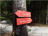 32
32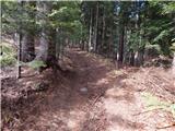 33
33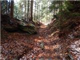 34
34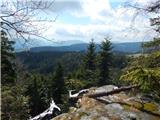 35
35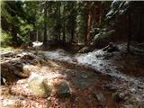 36
36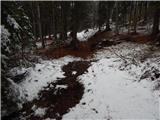 37
37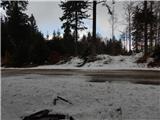 38
38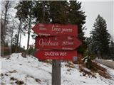 39
39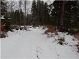 40
40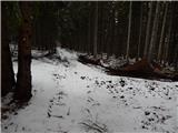 41
41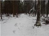 42
42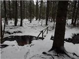 43
43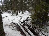 44
44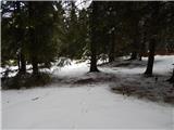 45
45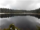 46
46
Discussion about the trail Kebelj - Črno jezero on Pohorje (via Kos)