Kluže / Chiusaforte - Montusel (on pathi 427 and 427a)
Starting point: Kluže / Chiusaforte (397 m)
Name of path: on pathi 427 and 427a
Time of walking: 3 h 45 min
Difficulty: partly demanding marked way, difficult pathless terrain
Altitude difference: 1484 m
Altitude difference po putu: 1484 m
Map: Alpi Carniche Orientali Canal del Ferro; Foglio 18
Recommended equipment (summer):
Recommended equipment (winter): ice axe, crampons
Views: 1.780
 | 2 people like this post |
Access to the starting point:
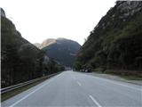
a) From Kranjska Gora, past Trbiz / Tarvisio, and along the old road to Udine until you reach the parking lot on the main road about a kilometre before Cluj / Chiusaforte and a few kilometres further on from Dunia / Dogna.
b) From Nova Gorica or Sezana take the Italian motorway to Palmanova, here take the route Trbiz / Tarvisio to the Carnia exit, then follow the old main road to Trbiz via Cluj / Chiusaforte for another km and about 200 m after the tunnel there is a parking lot on the left.
Path description:
From the parking lot, follow the roadside towards Cluj. After 200 m, you will see the marked path No 417 to the sharp right, cross the road fence and climb the steps to the path which leads you along the forest shoulder, partly in the keys, to the right, more straight, in 50 minutes to the hamlet of Costamolino. Go through the central part of the hamlet, then past the houses on the left and into the woods on the right after the hamlet. In 5 minutes you reach a road, follow it for about 500 m, then rejoin the path, which first passes the last house in the hamlet, and then, passing a meadow on the left, into the woods again. A little higher in the forest we come to a fork in the path, we go right towards Montusel, towards which we climb for quite some time, partly in keys, through the pine forest of the eastern and southern slopes of the summit of Plan de la Fratte. Higher up we come out of the forest, crossing the southern slopes of Montusel on an already occasionally narrower path, then the path turns towards the notch below the summit, crossing a few small ravines in between, where a more careful step is needed, but the path is not difficult. 2. 5 hours from Costamolino to the notch.
Then it's a 20-minute climb through the grass to the top of Montuselo, where there are no more markings and no real path. It's not too difficult either, but the path is still a bit exposed and quite dangerous in case of rain. The effort is rewarded with a magnificent view.

Pictures:
 1
1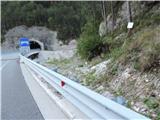 2
2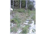 3
3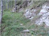 4
4 5
5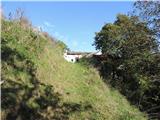 6
6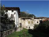 7
7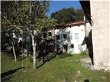 8
8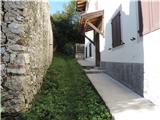 9
9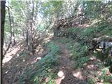 10
10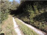 11
11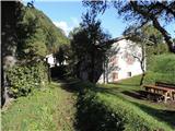 12
12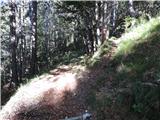 13
13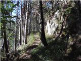 14
14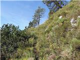 15
15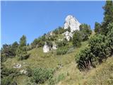 16
16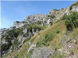 17
17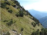 18
18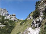 19
19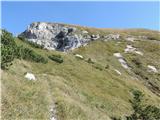 20
20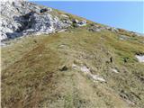 21
21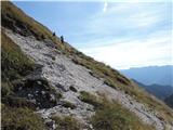 22
22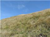 23
23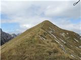 24
24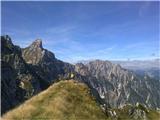 25
25
Discussion about the trail Kluže / Chiusaforte - Montusel (on pathi 427 and 427a)