Koprein-Petzen - Planina Zgornja Luža
Starting point: Koprein-Petzen (1280 m)
| Lat/Lon: | 46,5072°N 14,7123°E |
| |
Time of walking: 1 h
Difficulty: easy marked way
Altitude difference: 293 m
Altitude difference po putu: 323 m
Map: Kamniške in Savinjske Alpe 1:50.000
Recommended equipment (summer):
Recommended equipment (winter): ice axe, crampons
Views: 2.402
 | 1 person likes this post |
Access to the starting point:
Cross the Jezersko border crossing or Pavličevo sedlo to Železna Kaple, and there, at the beginning of the village, you will see signs for Lepena/Leppen, which will direct you to the right. The road then leads through the village to the village of Pod Peco/Koprein-Petzen, where it starts to climb steeply. The road climbs higher and leads past the starting point for Topica/Topitza to a small church. Continue along the main road, which loses its asphalt coating and starts to descend only a short distance afterwards. Only about 100 m further on you reach a crossroads, where you continue right in the direction of Pece/Petzen (left Globasnica/Globasnitz) along a road which leads you only a little further to a ramp, near which you park.
Path description:
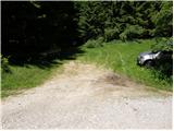
From the starting point, continue along the forest road closed to traffic, which leads us in 5 minutes of gentle descent to the crossroads at the beginning of mountain pasture Luža.
Continue left in the direction of "Petzen" along the road which starts to climb at the edge of mountain pasture. After about 20 minutes of walking, we will notice on the left side of the road the mountain signs for Pec, which direct us sharp left to the ascending cart track. The cart track cross-climb quickly leads us to a newly built forest road, which we follow to the left. After walking along the above-mentioned road for some 10 m, turn right onto the ascending cart track, which ascends through a spruce forest. After about 1 hour's walk from the starting point, rejoin the macadam road, which leads in a few steps to mountain pasture Zgornja Luža.
Pictures:
 1
1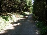 2
2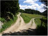 3
3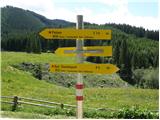 4
4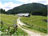 5
5 6
6 7
7 8
8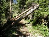 9
9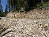 10
10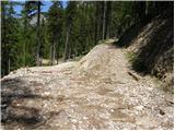 11
11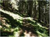 12
12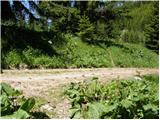 13
13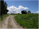 14
14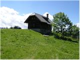 15
15
Discussion about the trail Koprein-Petzen - Planina Zgornja Luža