Kožljek - Leskovica (above Stražišče)
Starting point: Kožljek (792 m)
| Lat/Lon: | 45,8435°N 14,379°E |
| |
Time of walking: 30 min
Difficulty: easy unmarked way
Altitude difference: 155 m
Altitude difference po putu: 155 m
Map: Snežnik 1:50.000
Recommended equipment (summer):
Recommended equipment (winter):
Views: 537
 | 1 person likes this post |
Access to the starting point:
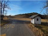
a) Take the Rakitna, then continue to Cerknica. After Pikovnik, the road starts to descend steeply, and then passes through the settlements of Kržišče, Beč, Župeno and Gorenje Otave. A little further on, leave the main road leading to Begunje pri Cerknici and continue straight on a side road towards Stražišče. Stražišče is bypassed by a bypass road on the right and then the road starts to descend again. Once the road is level, you will quickly reach the settlement of Kožljek, where the route described above starts at the bus stop. Park nearby in a suitable place.
b) Drive to Cerknica, then continue in the direction of Begunj near Cerknica. In Begunje, turn left and then drive through Bezuljak and Dobec to Kožljek, where the route described above starts at the bus stop. Park nearby in a suitable place.
Path description:
From the crossroads in Kožljek, continue northwards, initially following the marked path, then the road leading to Pokojišč. Leave the marked road after about 200 metres, where, in a hamlet of a few houses, turn right into a courtyard. After the courtyard, the road turns into cart track, after which you initially continue across a meadow, and then, as the path turns into a forest, you also begin to climb. After a few minutes we arrive at a large clearing, in the middle of which stands a hunting observation post, and a little further on, at a small crossroads, we continue right upwards. The climb through the forest continues, but when cart track arrives under the route of the Beričevo - Divača high-voltage power line, we leave cart track and continue our climb along a fainter path that continues along the power line. The ascent is followed by increasingly beautiful views, and when the ascent ends, you reach the top of Leskovica, at the top of which is a trigonometric point.
Description and pictures refer to the situation in 2016 (December).

Pictures:
 1
1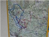 2
2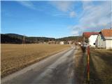 3
3 4
4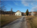 5
5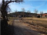 6
6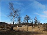 7
7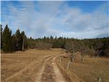 8
8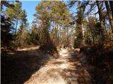 9
9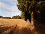 10
10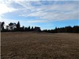 11
11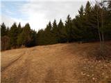 12
12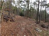 13
13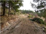 14
14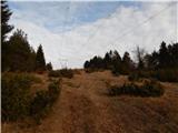 15
15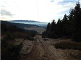 16
16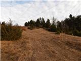 17
17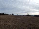 18
18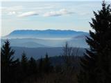 19
19 20
20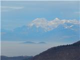 21
21
Discussion about the trail Kožljek - Leskovica (above Stražišče)