Lavamünd - Huhnerkogel/Košenjak
Starting point: Lavamünd (349 m)
| Lat/Lon: | 46,636°N 14,956°E |
| |
Time of walking: 4 h
Difficulty: easy marked way
Altitude difference: 1173 m
Altitude difference po putu: 1240 m
Map: Koroška 1:50.000
Recommended equipment (summer):
Recommended equipment (winter):
Views: 5.507
 | 1 person likes this post |
Access to the starting point:
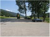
First we drive to Dravograd, then we continue our drive towards Austria. Next, we pass through Border crossing Vič and follow the main road to the beginning of Labot / Lavamünd. Here we see a parking lot on the left hand side of the road where we can park.
Path description:
From the parking lot, first cross the main road carefully and then continue along the pavement of the road leading to Graz and Ivnik/Eibiswald. Follow the road until the first bend, in the middle of which there is a small junction, and then follow the footpath signs to an overgrown path that continues between the two roads. The path, which climbs steeply at first, quickly flattens out and then crosses the slopes to the right, returning to the road just ahead. The main road is followed for a short distance before the signs for St. Lawrence / St. Lorenzen and Huhnerkogel / Hühnerkogel direct you to the right onto a narrower road that continues across the fields. After a few minutes, the winding road leads to a small hamlet, after which you turn left onto the gradually narrowing cart track. The marked path, which gradually begins to climb moderately, passes to the right side of the Multererbach stream and then, when it returns to the left side, becomes slightly steeper.
Higher up, the path leads past a relatively new wooden house, and just a little higher up we come out on an asphalt road, which we just cross and continue our ascent on a dirt road which climbs up to a sign called Hornigkreuz. Here the road transitions to a grassy slope, and we follow it for only a short distance, as the signs for St. Lawrence and Huhnerkogel then direct us to a steep footpath. After a few minutes of steep climbing through coniferous forest, we return to the road, and we follow it in the route we already know. A little further on, we reach a secluded hamlet of two houses, after which the road turns into cart track, but initially it descends slightly. After a short descent, you reach a small crossroads where you continue along the upper left-hand cart track, which becomes increasingly overgrown. The path then crosses steep and raspberry-covered slopes, and we start descending along a rather overgrown path to the Multererbach stream bed. After crossing the stream, the cart track widens and stops descending after a few 10 m. There is a steep climb over an increasingly scenic slope, and the path leads just a little higher up to an asphalt road, which you follow to the village of Lorenzenberg. In the middle of the village, the road to the Church of St. Lawrence turns off to the right, and we continue straight ahead and follow the road to the next left turn. In the middle of the bend we see mountain direction signs which direct us slightly right to the ascending cart track, which we follow as we climb along the edge of the hayfield. A little higher up, the signs direct us slightly to the left, on a slightly steeper footpath, which we follow up to a nearby road.
Continue past the sign (cross) and follow the asphalt road for some time. Higher up, you reach a small hamlet, where you see a beautifully decorated larger chapel along the way. Above the chapel, the asphalt ends and we continue our ascent on the dirt road. Higher up, the path leads us past a few more individual houses, and then signs direct us to a slightly steeper footpath. The path continues up a small "ditch", then moves on to an old coppice where we cross a worse forest road. The path returns to the forest, through which it starts to climb moderately. After a while it joins a wide cart track and a few metres further on a dirt road, which is followed to a marked crossroads.
Continue along the narrower dirt road towards Huhnerkogel and the Roßhütte hut, which is only a 3-minute walk away.
From the hut, where the road ends and there is a control stamp, continue in the direction of Huhnerkogel / Hühnerkogel, following the path which leads through a short meadow into the forest. There is a moderate climb through the forest, and then the path leads to a gentle grassy slope, from which we have a beautiful view of Golica / Koralpe. The path then returns to the forest and leads to the border, where it joins a more beaten track coming from the Slovenian direction. Here, continue to the right and, within 2 minutes of further walking, you will reach the top of Košenjak at the edge of the forest.

Pictures:
 1
1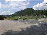 2
2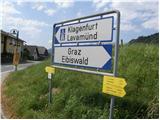 3
3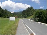 4
4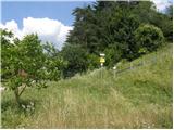 5
5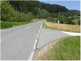 6
6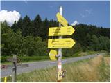 7
7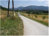 8
8 9
9 10
10 11
11 12
12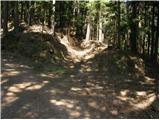 13
13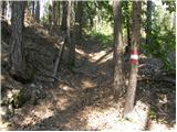 14
14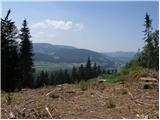 15
15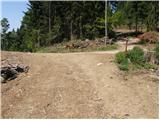 16
16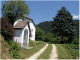 17
17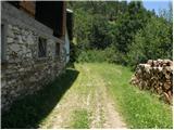 18
18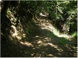 19
19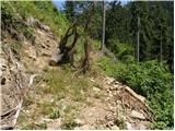 20
20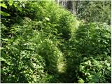 21
21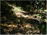 22
22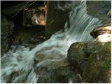 23
23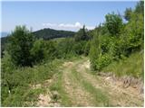 24
24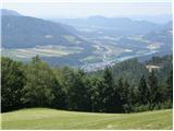 25
25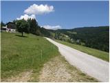 26
26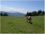 27
27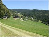 28
28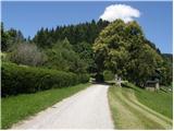 29
29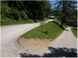 30
30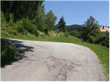 31
31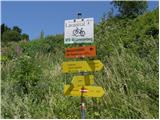 32
32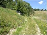 33
33 34
34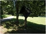 35
35 36
36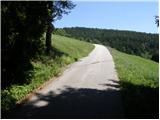 37
37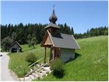 38
38 39
39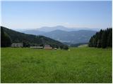 40
40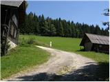 41
41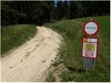 42
42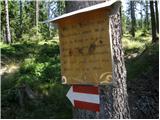 43
43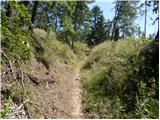 44
44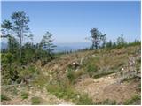 45
45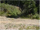 46
46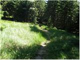 47
47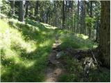 48
48 49
49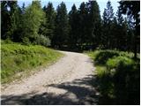 50
50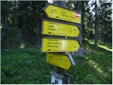 51
51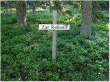 52
52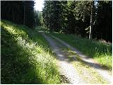 53
53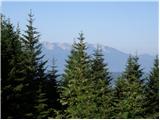 54
54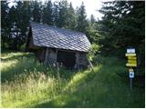 55
55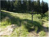 56
56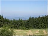 57
57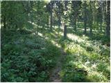 58
58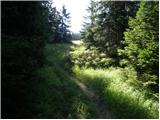 59
59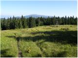 60
60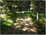 61
61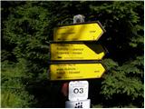 62
62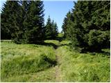 63
63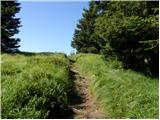 64
64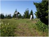 65
65 66
66
Discussion about the trail Lavamünd - Huhnerkogel/Košenjak
|
| Janezs25. 11. 2017 |
Solidno označena pot, tako, da nisva nikjer iskala.V zgornjem delu,kjer je še veliko snega ,pa je bila dobro pohojena gaz.V napoto je bilo nekaj podrtega drevja,malenkosti sva odstranila. Večja pa bojo sigurno postorili, markacisti. Lp.
|
|
|