Starting point: Log (375 m)
| Lat/Lon: | 46,53435°N 15,5436°E |
| |
Name of path: by road
Time of walking: 1 h 5 min
Difficulty: easy unmarked way
Altitude difference: 345 m
Altitude difference po putu: 345 m
Map: Pohorje 1:50.000
Recommended equipment (summer):
Recommended equipment (winter): ice axe, crampons
Views: 221
 | 2 people like this post |
Access to the starting point:
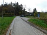
From the road Maribor - Ruše, in the village Bistrica ob Dravi, turn left (right from the route of Ruše) towards Log. Continue through Log, and at the end of the settlement, at the junction of several roads, park in a suitable place by the bus station.
Park in such a way as not to obstruct traffic or the bus.
Path description:
From the starting point, take the road slightly to the left, where there are signs for Pečke - access by car. The road quickly turns into the forest and starts to climb moderately. You will quickly reach the Jureto bend, where the road turns sharp right and goes up a slope. During the ascent, cross the waymarked path, and a little further on, pass a farm. After the farm, we return to the forest and then climb cross-country for some time. A little further on, at a small crossroads, go slightly left towards Pečky, and within a few minutes we reach Pečky, where the Dom na Pečkah is located.
Description and pictures refer to November 2022.
Pictures:
 1
1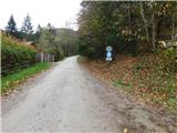 2
2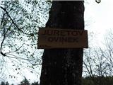 3
3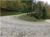 4
4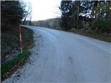 5
5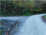 6
6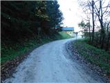 7
7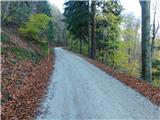 8
8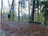 9
9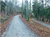 10
10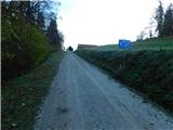 11
11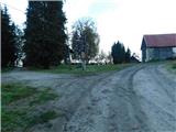 12
12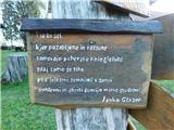 13
13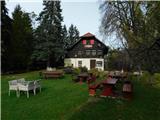 14
14 15
15
Discussion about the trail Log - Pečke (by road)