Starting point: Makekova Kočna (900 m)
| Lat/Lon: | 46,3931°N 14,5009°E |
| |
Time of walking: 1 h
Difficulty: easy unmarked way
Altitude difference: 340 m
Altitude difference po putu: 340 m
Map: Kamniške in Savinjske Alpe 1:50.000
Recommended equipment (summer):
Recommended equipment (winter): ice axe, crampons
Views: 4.814
 | 1 person likes this post |
Access to the starting point:
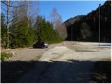
From the motorway Ljubljana - Jesenice take the exit Kranj - East and follow the road towards Jezersko. At the bus stop in Jezersko, turn right into the valley of Makekova Kočna (direction Čedca waterfall, Veliki vrh and Češka koča). The road then crosses the Jezernica River via a bridge, and just a few metres further on, at the crossroads near the chapel, turn left towards the nearby sports ground, where we park.
Path description:
From the parking lot by the sports ground, continue along the macadam road, which climbs almost imperceptibly parallel to the Jezernica stream. After a few minutes of easy walking, you will come to a small crossroads, where an ascending unmarked cart track (there is usually a smaller cairn at the crossroads) branches off sharply to the right and you will continue your ascent. The cart track immediately passes into the forest and leads to a crossroads where it splits into two parts. Continue along the left-hand cart track, at which you will soon see a warning sign informing you that the way ahead is dangerous (from here onwards it is not advisable to climb during forestry work).
The ascent continues along the relatively steep cart track, which initially offers some views of Virnikov Grintovec, but then turns into a dense forest. Higher up, cross two torrents from right to left, and after the second torrent the path gradually turns slightly to the right, or climbs alongside it for a while. When the cart track then turns a little more to the right, cross the torrent from left to right. Pay attention here, however, because about 50 m higher up, an unmarked path branches off to the left, the start of which is harder to see because of the new cart track. The cart track climbs up to a small clearing, where the start of the forest track can already be found. The path turns left and then climbs steeply across a relatively steep, first wooded and then avalanche-prone slope. Higher up, the slope is flattened and the path continues along a small valley straight up. In the lower part of the valley we get some views of Storžič and the surrounding peaks, and then the trail passes into dense forest, through which it climbs steeply until it reaches the ridge. Once on the ridge, continue left (to the right Visoki vrh, Javornik and Skubrov vrh), and we follow the slightly exposed path to the summit of Turnov within a minute of further walking.

Pictures:
 1
1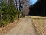 2
2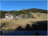 3
3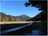 4
4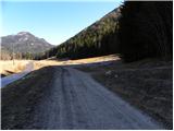 5
5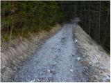 6
6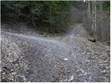 7
7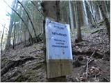 8
8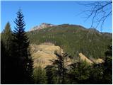 9
9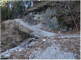 10
10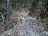 11
11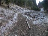 12
12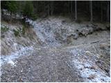 13
13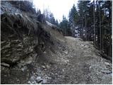 14
14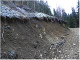 15
15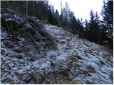 16
16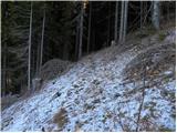 17
17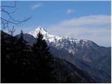 18
18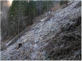 19
19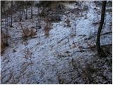 20
20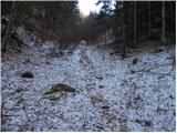 21
21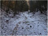 22
22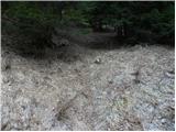 23
23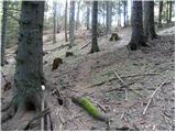 24
24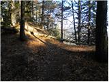 25
25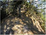 26
26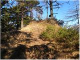 27
27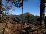 28
28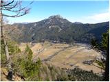 29
29
Discussion about the trail Makekova Kočna - Turni