Makole - Boč (via Balunjača)
Starting point: Makole (255 m)
| Lat/Lon: | 46,31815°N 15,66701°E |
| |
Name of path: via Balunjača
Time of walking: 3 h 45 min
Difficulty: easy marked way
Altitude difference: 723 m
Altitude difference po putu: 765 m
Map:
Recommended equipment (summer):
Recommended equipment (winter): ice axe, crampons
Views: 500
 | 1 person likes this post |
Access to the starting point:
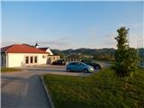
a) Drive to Poljčane, then follow the signs for Majšperk and Makole. In the village of Stranske Makole or a little after Stranske Makole, turn right towards Makole, where you can park in the centre of the village, in the marked parking lot next to the cemetery.
b) Drive to Slovenska Bistrica, then turn onto the road towards Makole. Follow the signs for Makole and park in the marked cemetery parking lot in the centre of the village.
c) From Ptuj, follow the signs for Majšperk, and when you arrive in Majšperk, follow the signs for Makole. When you arrive in Makole, park in the marked parking lot next to the cemetery.
Path description:
From the parking lot, walk to the main road and continue right to the nearby roundabout, from which you turn onto the road marked Jelovec pri Makolah and St Urban.
Continue along a slightly narrower road which leads you across the Jelovški brook. Makole ends a little further on, and we continue left from the junction with the cul-de-sac, where the first markings appear. We continue on the asphalt road, which climbs a little further through the forest, and then leads us past a few houses. The road then opens up to a beautiful view, and at a few junctions you can follow the signs and markings. Higher up, the road leads past the Chapel of St Urban, and we are still following the signs at a few junctions. After a while, we turn left off the tarmac road onto a dirt road, which descends a little as it passes, and we turn right onto cart track, which climbs along the edge of the forest. The way ahead takes us through the forest for a few minutes, and when we leave the forest we go right, passing the nearby farmhouse on the right, and when we reach the tarmac road we go left. Again there is some downhill, and at the Domišak farm the road returns to the forest and starts to climb. In the forest, turn right off the road onto cart track, which ascends crosswise. When you leave cart track, which gives you a nice view of Boč, take the road to the right (Plešivec on the left). Do not walk long on the road, as the signs direct you slightly left, to cart track, which ascends crosswise to the right, and higher up, at the crossroads, follow the route of the signs. Near the summit of Kisovec, the path starts to descend and leads to a less good road, which leads easily down to Formila.
When you reach Formila, continue to the left (sharp right Studenice and Boč along the road) and continue along the edge of the forest for a short time, when the road goes into the forest it leads to a marked crossroads.
At the crossroads, the path from Plešivec joins us from the left, and we continue to the right in the direction of Boč. At the next crossroads, where we are joined by another path from Plešivec or Donačka gora, we continue to the right, and we also go right at the next crossroads. From the last crossroads, walk along the road for a short distance, then turn left onto the marked path which ascends cart track to the site of the former forestry hut, now under construction as a new home (as at May 2022).
Here, rejoin the road and follow it to the left (there is an unmarked trail to Boč across the road, but you can also join the road leading to Boč). Continue along the road, which crosses the slopes of Boč to the left, and we climb gently at first and then descend a little way down the road.
A few 10 steps before reaching the asphalt road, a shady path branches off to the right onto Boč, and we continue to the road, where we continue to the right. When the road turns left, continue slightly to the right and follow the cart track into the forest, and at the crossroads go right in the direction of the trail over the Balunjača River and in the direction of the climbing trail to Boč (left down Home on Boč - 2 minutes).
There is a few minutes of cross-climbing to the left, and higher up, the path from the valley joins us from the left (starting point Zgornje Poljčane).
Here, take the cart track right onto the footpath in the direction of Boč, and then at the crossroads follow the path over Balunjača. The path over Balunjača then leads us through a short protected part, where the path is not particularly difficult, but is exposed to falling rocks in this part. Higher up, we rejoin the steep and climbing trail, which split off from our route.
The steepness of the path then gradually eases and the path leads to cart track, which climbs gently alongside the military area. After leaving the vicinity of the military area, it is only a five-minute walk along a summit ridge, still covered with forest. Once you reach the top, you can climb up to the lookout tower, which offers a beautiful view on all sides.
Makole - Formila na Boču 2:00, Formila na Boču - Boču 1:45.

Pictures:
 1
1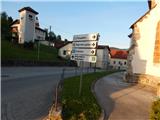 2
2 3
3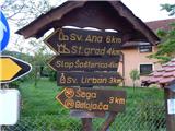 4
4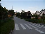 5
5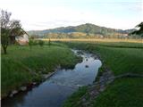 6
6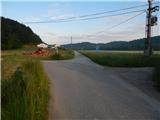 7
7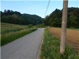 8
8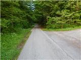 9
9 10
10 11
11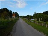 12
12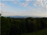 13
13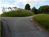 14
14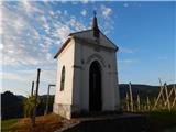 15
15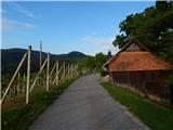 16
16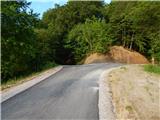 17
17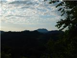 18
18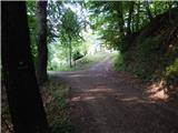 19
19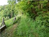 20
20 21
21 22
22 23
23 24
24 25
25 26
26 27
27 28
28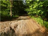 29
29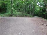 30
30 31
31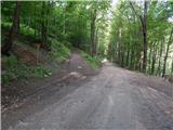 32
32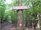 33
33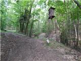 34
34 35
35 36
36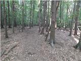 37
37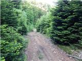 38
38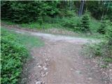 39
39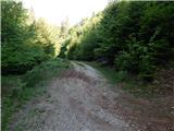 40
40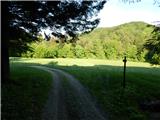 41
41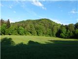 42
42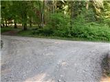 43
43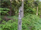 44
44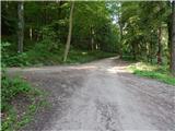 45
45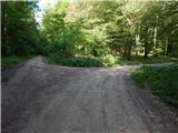 46
46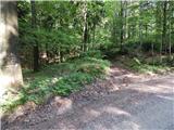 47
47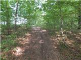 48
48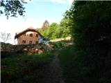 49
49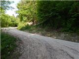 50
50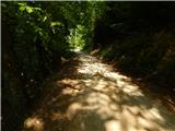 51
51 52
52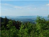 53
53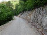 54
54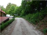 55
55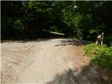 56
56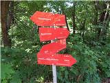 57
57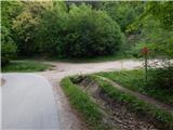 58
58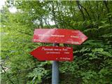 59
59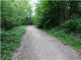 60
60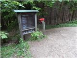 61
61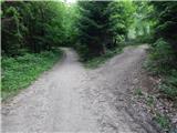 62
62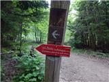 63
63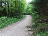 64
64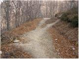 65
65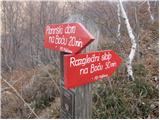 66
66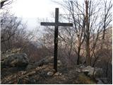 67
67 68
68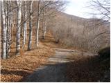 69
69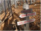 70
70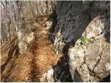 71
71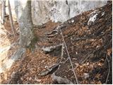 72
72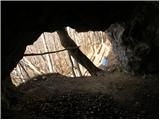 73
73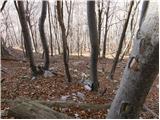 74
74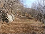 75
75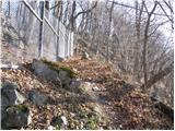 76
76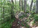 77
77 78
78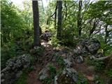 79
79 80
80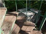 81
81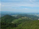 82
82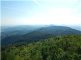 83
83
Discussion about the trail Makole - Boč (via Balunjača)