Mavros Charakas - Pachnes (Crete)
Starting point: Mavros Charakas (1880 m)
| Lat/Lon: | 35,29037°N 24,06593°E |
| |
Time of walking: 1 h 20 min
Difficulty: easy marked way
Altitude difference: 573 m
Altitude difference po putu: 610 m
Map: Anavasi 11.11 / 11.12
Recommended equipment (summer):
Recommended equipment (winter):
Views: 244
 | 2 people like this post |
Access to the starting point:
Expect a 3h 15 min drive from Chania (Crete), the main regional city, to the starting point. Nevertheless, add 15 - 30 minutes, since the road is rough and it is possible to miss a turn or two on the road.
From Chania (gr. Χανιά) to Hora Sfakion (gr. Χώρα Σφακίων), the road leads over the mountains from north to south of Crete, it is paved, broad, and generally in good condition.
From Hora Sfakion at sea level to Anopoli (gr. Ανώπολη) at about 585 m, the road is somewhat steeper than before, with many switchbacks. Expect many goats and a lot of scree (small rocks). In the lower sections, the trafic is also a bit heavy in the tourist season.
When in Anopoli, be carefull to make the correct turns in the following sections of the "Dirtroad to Pachnes", which end at the pllace called Mavros Charakas (road is narrow, approx. car speed maybe slightly exceed 20 km /h, all turns are unmarked, see GPS coordinates and photos below).
1. In Anapoli, app. altitude 585 m, turn right at GPS: 35,21860° N / 24,08477° E.
2. Shortly after, app. altitude 625 m, keep left at GPS: 35,22767° N / 24,08276° E.
3. The paved road turns into gravel one. At app. elevation 700 m, turn right at GPS: 35,23758° N / 24,08154° E.
4. At elevation 980 m, keep driving straight; GPS: 35,24001° N7 24,10705°E.
5. At elevation 1140 m, turn left; GPS: 35,24845° N / 24,11349° E.
6. At 1415 m, keep on the right road; GPS: 35,25930° N / 24,09988° E.
7. Drive to the parking place. (I.) Best spot for parking at 1880 m of elevation at GPS: 35,29037° N / 24,06593° E.
7.a. Parking alternatives:
(I.) 1880 m of elevation at GPS: 35,28895° N / 24,07168° E (joining the E4 path).
(II.) End of the road at 2010 m of elevation. The final section of the road is in worse condition than before, it could be difficult to turn the car, and the available space is for 2-3 cars.
Path description:
Depending on the parking spot, the first part of the route is different:
I. Follow the road to its end. 20 m before the end, turn right to the trail and follow it up to the slopes above the road.
II. About 20 m back down the road, find the trail and follow it up to the slopes above the road.
III. Join the trail E4 (E4 traverses from east to west of Crete). After 30 minutes of walking, the trail crosses the road again. In this section, one part is technically partly demanding and secured with rope.
Starting the hike in the village Anapoli lengthens the tour by 4 h 30 min.
About 20 m before the end of the road, follow the trail up to the slopes above the road. The trail turns northwest, after 15 minutes it reaches the mountain valley, the Roussies plateau (there is a bivouac made by shephards, or in Greek, a mitata). After the bivouac, the trail branches to the left, and follows a ridge in the western direction. The ridge eventually joins the bigger one, and the trail begins to face the western slopes. From this point, it is possible to see the summit of Pachnes for the first time. The trail reaches Pachnes in an almost straight line by traversing the slopes to the mountain top. The last 150 meters of altitude experience heavier winds than the rest of the way. The winds blow from north to south, and that is why the snow lasts the longest on the southern slopes the longest). The summit offers a lot of space, there is a Greek flag (when the flag is destroyed by the wind, it gets replaced). Pachnes is an "Ultra", so the views encompass from the southern to northern coast. Only 100 kilometers east, the mountain range of Psiloritis stands at the same altitude.
The description and images refer to the situation from August 2022.

Pictures:
 1
1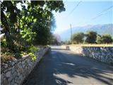 2
2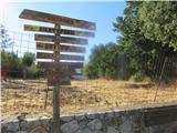 3
3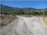 4
4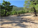 5
5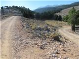 6
6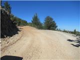 7
7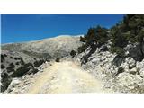 8
8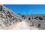 9
9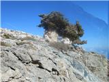 10
10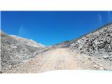 11
11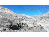 12
12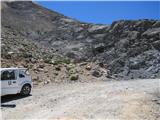 13
13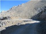 14
14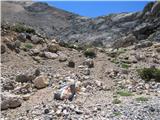 15
15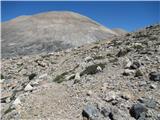 16
16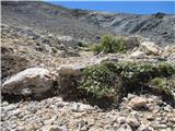 17
17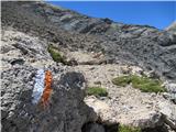 18
18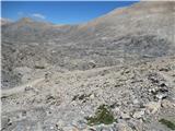 19
19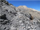 20
20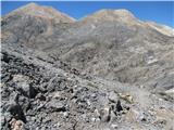 21
21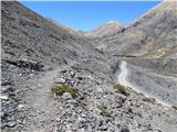 22
22 23
23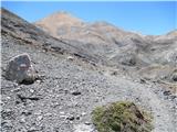 24
24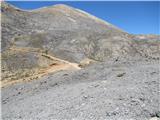 25
25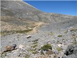 26
26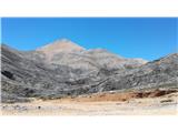 27
27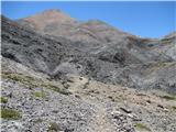 28
28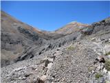 29
29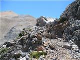 30
30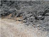 31
31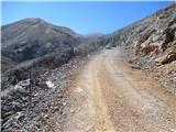 32
32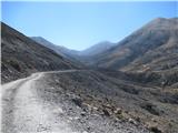 33
33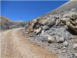 34
34 35
35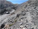 36
36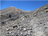 37
37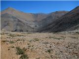 38
38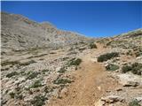 39
39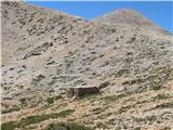 40
40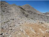 41
41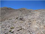 42
42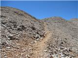 43
43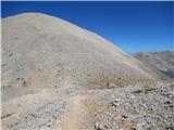 44
44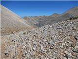 45
45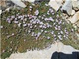 46
46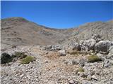 47
47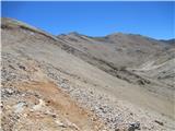 48
48 49
49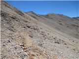 50
50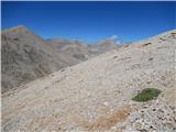 51
51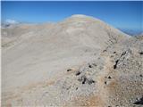 52
52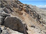 53
53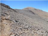 54
54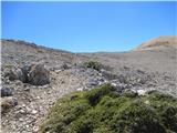 55
55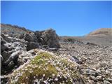 56
56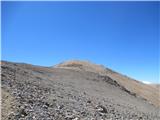 57
57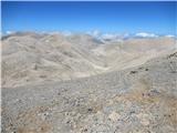 58
58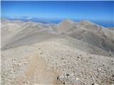 59
59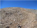 60
60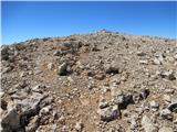 61
61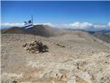 62
62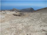 63
63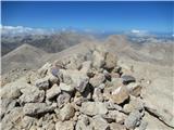 64
64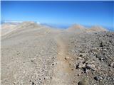 65
65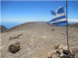 66
66
Discussion about the trail Mavros Charakas - Pachnes (Crete)