Starting point: Muljava (340 m)
| Lat/Lon: | 45,902°N 14,7989°E |
| |
Time of walking: 50 min
Difficulty: easy marked way
Altitude difference: -68 m
Altitude difference po putu: 50 m
Map:
Recommended equipment (summer):
Recommended equipment (winter):
Views: 4.380
 | 1 person likes this post |
Access to the starting point:
a) From the Ljubljana - Obrežje motorway, take the exit Ivančna Gorica and then continue to Žužemberk. When you reach Muljava, turn right in the middle of the village towards Jurčičeva domača and then park in the parking lot just after the crossroads.
b) First drive to Žužemberk, then continue towards Muljava and Ivančna Gorica. In Muljava, leave the main road and in the middle of the right-hand bend, continue straight towards Jurčičeva domačije. Park in the parking lot at the crossroads.
Path description:
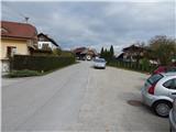
At the starting point, the signs for the Jurčič path direct you to the asphalt road towards the village of Potok. The road first descends and then leads us past a crucifix to a bridge over the Bržiček stream, after which the road begins to climb. After a short climb, we join the original route of the Jurčič path, which leads past the Jurčič homestead, and we continue left from the centre of Potok village, along the road, which gradually lays down and leaves the village. At the end of the village, the path leads past the Chapel of St Anthony and then continues along the fields, after which it turns into woods. Through the woods, follow the macadam road, then reach an asphalt road, which you follow to the right. The road quickly reaches the village of Znojile, from where we have a beautiful view of the valley by the source of the river Krka. In the second part of the village, the road starts to descend, and we continue along the road to the place where the signs for the Krka spring point us to the right by the greenhouse (double trestle). After the greenhouse, leave the road and continue along the initially less good path, which continues across the meadow or slightly above the nearby vineyard. Cross a narrow strip of forest and then follow the grassy cart track to reach Trebnja Gorica, where you turn right at a crossroads in the middle of the village. After the condensed part of the village, the signs for the Jurčič path direct you slightly left, to cart track, which descends across the meadow, and continue along it all the way to the nearby source of the river Krka.
Description and pictures refer to the situation in 2016 (October).

Pictures:
 1
1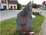 2
2 3
3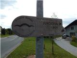 4
4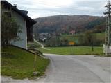 5
5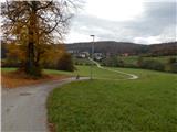 6
6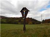 7
7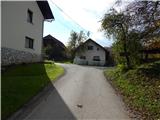 8
8 9
9 10
10 11
11 12
12 13
13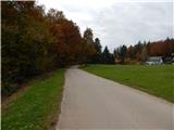 14
14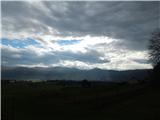 15
15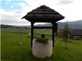 16
16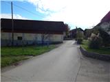 17
17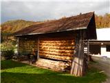 18
18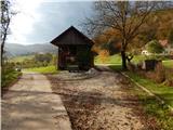 19
19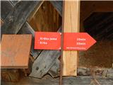 20
20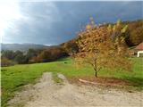 21
21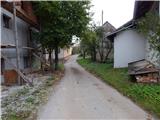 22
22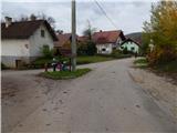 23
23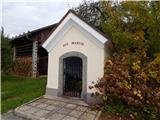 24
24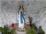 25
25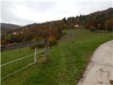 26
26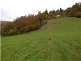 27
27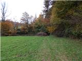 28
28 29
29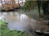 30
30
Discussion about the trail Muljava - Source of Krka