Starting point: Otoče (404 m)
| Lat/Lon: | 46,3103°N 14,2327°E |
| |
Time of walking: 30 min
Difficulty: easy unmarked way
Altitude difference: 70 m
Altitude difference po putu: 90 m
Map: Karavanke - osrednji del 1:50.000
Recommended equipment (summer):
Recommended equipment (winter): ice axe, crampons
Views: 1.990
 | 1 person likes this post |
Access to the starting point:
a) From the motorway Ljubljana - Jesenice at the Podtabor junction take the second exit in the direction of Tržič and Ljubelj, then immediately leave the expressway and turn right towards Zvirče and Kropa. From the roundabout take the second exit in the direction of Podbrezij and Kropa, and at Podbrezje take the second exit to the right in the direction of Radovljica, Kropa and Podnart. Continue towards Radovljica and turn left out of Posavec towards Otoče. Cross the river Sava, turn left after the railway line and then park in the parking lot by the railway.
b) From the motorway JeseniceXX - Ljubljana, take the exit Brezje, then follow the signs for Kropa and Podnart. When you reach the Posavec settlement, turn right towards Otoče, where you cross the bridge over the Sava River, then turn left after the railway line and park in the parking lot.
Path description:
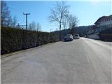
From the parking lot in Otoče continue along the asphalt road towards Zaloše, and when Otoče ends the road gradually turns into a forest. Continue along the railway for a short distance and then the signs for Stovc direct you right to cart track, which climbs gently through the forest. When the cart track turns slightly to the right, leave it and continue slightly left on a well-worn and completely winding path, from which, after two minutes' further walking, you will turn right onto a path in the direction of Stovc. There is a slight ascent and a crossing of logging trail, then the path becomes steeper and the picturesque cliffs are avoided on the right. When you reach the top of the steel cable, continue left and follow the gently sloping path as it continues south-eastwards. After a few minutes of easy walking, keep slightly left at the crossroads and you will reach the Stovc lookout point, from where you will have a beautiful view of the valley and the Alps.
Description and pictures refer to February 2020.

Pictures:
 1
1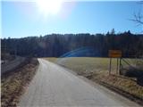 2
2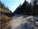 3
3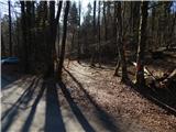 4
4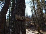 5
5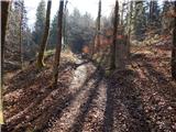 6
6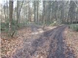 7
7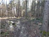 8
8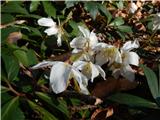 9
9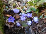 10
10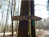 11
11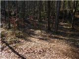 12
12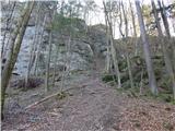 13
13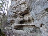 14
14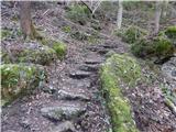 15
15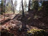 16
16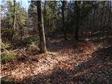 17
17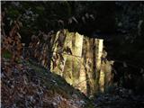 18
18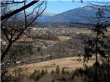 19
19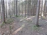 20
20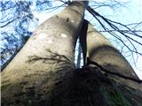 21
21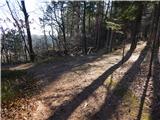 22
22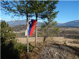 23
23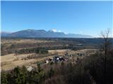 24
24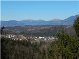 25
25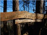 26
26
Discussion about the trail Otoče - Stovc (Stolec)