Starting point: Pečar (460 m)
| Lat/Lon: | 46,0401°N 14,6402°E |
| |
Time of walking: 30 min
Difficulty: easy marked way
Altitude difference: 70 m
Altitude difference po putu: 85 m
Map: Ljubljana - okolica 1:50.000
Recommended equipment (summer):
Recommended equipment (winter):
Views: 12.440
 | 3 people like this post |
Access to the starting point:
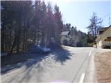
From the eastern Ljubljana bypass, take the Ljubljana - Bizovik exit, then continue towards Sostrem and onwards along the ascending road towards Besnice. At the pass, where the road to Javor turns off to the right, park in a small parking lot by the road.
Path description:
From the starting point, first cross the road carefully and then take the wide cart track in the route Debenji vrh. Cart track first climbs gently along the edge of a grassy slope, then passes into wods where it continues to climb moderately. After a few minutes, signs point slightly left to a marked footpath, which quickly returns to the aforementioned cart track. Higher up, the path is completely laid, and then in a slight downhill it crosses the area under the power line from where a very nice view opens up. Cart track then returns to the forest, and we follow it in a moderate ascent until Debenji vrh, in the middle of which stands a wooden lookout tower.
Pictures:
 1
1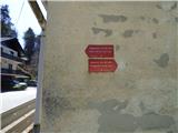 2
2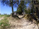 3
3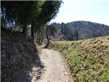 4
4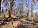 5
5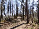 6
6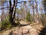 7
7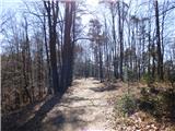 8
8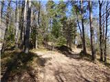 9
9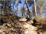 10
10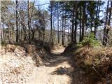 11
11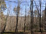 12
12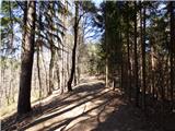 13
13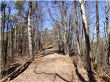 14
14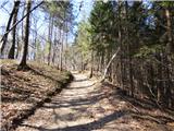 15
15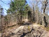 16
16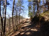 17
17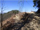 18
18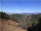 19
19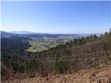 20
20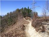 21
21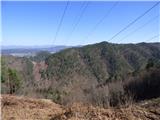 22
22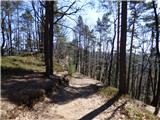 23
23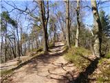 24
24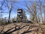 25
25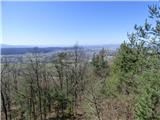 26
26
Discussion about the trail Pečar - Debenji vrh