Starting point: Podlanišče (787 m)
| Lat/Lon: | 46,1104°N 14,0133°E |
| |
Time of walking: 1 h 10 min
Difficulty: easy marked way
Altitude difference: 186 m
Altitude difference po putu: 230 m
Map: Škofjeloško in Cerkljansko hribovje 1:50.000
Recommended equipment (summer):
Recommended equipment (winter): ice axe, crampons
Views: 5.102
 | 2 people like this post |
Access to the starting point:
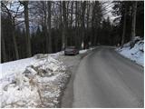
a) First drive to Škofja Loka, then continue driving to Gorenjska vas and on to Hotavlje and Sovodnje. From Sovodnje, we drive along the serpentine road towards Cerkno, and we follow it only as far as the pass Kladje 787 m, at which point we park in a suitable place by the pass.
b) From the road Idrija - Tolmin we take the road Cerkno and from there we continue in the direction of Škofja Loka. Continue on through Planina pri Cerknem, and we follow the rather winding road to the Kladje pass, where we park in a suitable place on the roadside.
Path description:
From the Kladje to Podlanišče pass continue along the asphalted road in the direction of Ermanovec, Slajka and Škofja. At first we climb past a few houses, then the signs for Škofje direct us left (straight Ermanovec) onto the macadam road, which begins to descend gently. The route continues along a narrower macadam or dirt road, which climbs gently a few times, but otherwise descends gently to moderately for the most part. After about 20 minutes' walk from the starting point, you will reach an asphalt road, which descends in a few steps to a nearby crossroads, and from there continue along the ascending road to the right. Follow the road up to the nearby prevala, from which you will have a nice view of Blegoš, and from there continue left in the direction of Škofja (right Ermanovec).
Continue along the gently sloping cart track, which crosses the lane of the forest, and then, without major changes in altitude, leads us in a few minutes to the next marked crossroads. At the crossroads, just cross the asphalt road (left down Cerkno and Franja Hospital) and continue over a short grassy slope into the forest (follow the footpath and not the nearby cart track). Continue climbing along the edge of the forest, and the trail takes you right next to the extensive grassy slope of Škofja. Higher up, the path leads us out of the forest onto a grassy ridge, where it turns to the right and continues to climb along an increasingly scenic ridge. This is followed by a gently sloping and very scenic walk along the grassy ridge (nice view of Kojca and Porezen), and then the path passes into the forest and after a few minutes of further walking leads us to the top of Škofja.

Pictures:
 1
1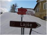 2
2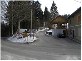 3
3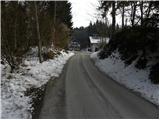 4
4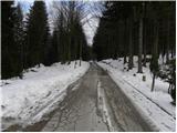 5
5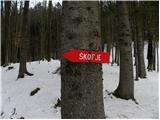 6
6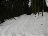 7
7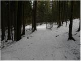 8
8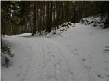 9
9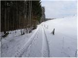 10
10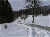 11
11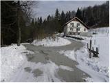 12
12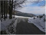 13
13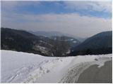 14
14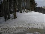 15
15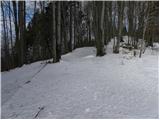 16
16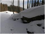 17
17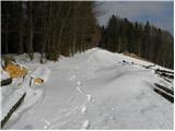 18
18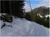 19
19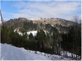 20
20 21
21 22
22 23
23 24
24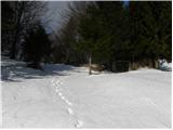 25
25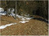 26
26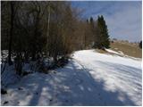 27
27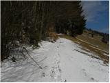 28
28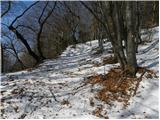 29
29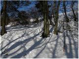 30
30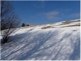 31
31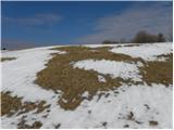 32
32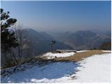 33
33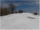 34
34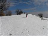 35
35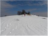 36
36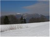 37
37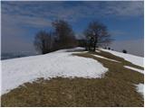 38
38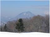 39
39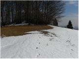 40
40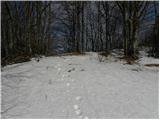 41
41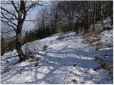 42
42 43
43
Discussion about the trail Podlanišče - Škofje
|
| ločanka29. 01. 2021 |
Meni čudovit izlet! Pot lahko izkoristiš tudi za vzpon na Ermanovec. Še dodatno 1.15 ure (po tablah, od Vrha vrat).
|
|
|