Prebersee - Preber (via Mühlbachtörl)
Starting point: Prebersee (1514 m)
| Lat/Lon: | 47,1855°N 13,8537°E |
| |
Name of path: via Mühlbachtörl
Time of walking: 3 h 45 min
Difficulty: easy marked way
Altitude difference: 1226 m
Altitude difference po putu: 1230 m
Map:
Recommended equipment (summer):
Recommended equipment (winter): ice axe, crampons
Views: 3.356
 | 1 person likes this post |
Access to the starting point:
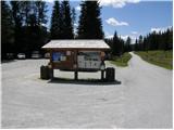
From the motorway Bialjak / Villach - Salzburg take the St. Michael exit and follow the road to Tamsweg, where you turn left in the direction of Sauerfeld (you can also get here from Murau). In Sauerfeld you will see signs for the Prebersee lake, which direct you to the ascending road, which you follow to a large parking lot in front of the lake.
Path description:
On the main road near the parking lot you will see signs directing you to the dirt mountain road in the direction of Preber, Roteck. After a few dozen metres of walking, you will come to a crossroads where you can continue straight ahead on the road, which is blocked by wods. At a right-hand bend, signs then direct you to a footpath through the forest. After a short climb, the path leads us back to the road, which we follow for a short time, and then the signs direct us to the footpath again. The path later joins the mountain road twice more for a short time and then climbs up towards the cottage. If you miss the signs along the way, you can also follow the mountain road, which also leads to the PreberXXhalterhütte mountain hut.
Just above the hut, signs on a rock point to the left (to the right is a direct path to the Preber summit). The path then climbs up the grassy slopes to the west and then slowly turns right into the Preberkessel valley between the Preber (2740m) and Golzhöhe (2580m) peaks. In summer, cattle also graze on the grassy slopes along the path. When the path reaches a crossroads, continue straight ahead along the valley, and to the left the path branches off towards the summit of Lachriegel (2125m) and the valley towards the village of Lessach. The Preberkessel valley trail is not strenuous and climbs only gently, offering beautiful views of the surrounding peaks. Towards the end of the valley, however, the path climbs a little and leads to a crossroads. Bear left towards the saddle Mühlbachtörl (2478m), and right across the southern slopes of Preber towards the Grazerhütte hut. After a short climb, you reach the above-mentioned saddle between Preber and Roteck. Bear right and a very difficult trail to Roteck leads off to the left. From the saddle, there is a slightly steeper climb on rocky terrain to the summit.

Pictures:
 1
1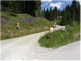 2
2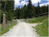 3
3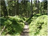 4
4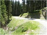 5
5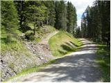 6
6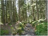 7
7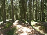 8
8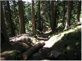 9
9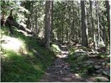 10
10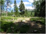 11
11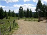 12
12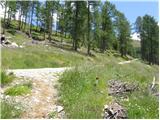 13
13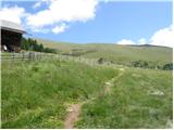 14
14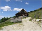 15
15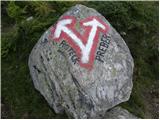 16
16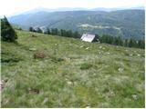 17
17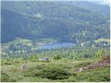 18
18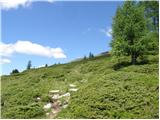 19
19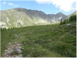 20
20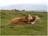 21
21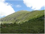 22
22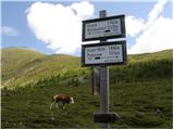 23
23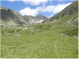 24
24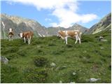 25
25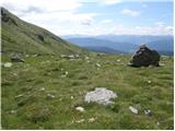 26
26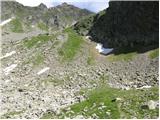 27
27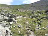 28
28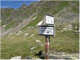 29
29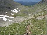 30
30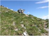 31
31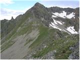 32
32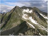 33
33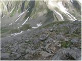 34
34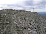 35
35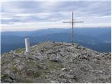 36
36
Discussion about the trail Prebersee - Preber (via Mühlbachtörl)