Starting point: Preval Vrh Ravni (826 m)
| Lat/Lon: | 46,1562°N 13,9449°E |
| |
Time of walking: 1 h 20 min
Difficulty: easy marked way
Altitude difference: 477 m
Altitude difference po putu: 477 m
Map: Škofjeloško in Cerkljansko hribovje 1:50.000
Recommended equipment (summer):
Recommended equipment (winter): ice axe, crampons
Views: 12.228
 | 1 person likes this post |
Access to the starting point:
First, drive to the centre of Cerkno (reachable from the Idrija - Tolmin road or from Gorenje vas), then continue driving towards the villages of Zakriž, Zakojca, Jesenica, Gorje, Poče and Trebenče. Just a little further on, you will come to the next crossroads, where the road to the village Zakriž branches off to the left. Here you have two options; you can continue to the left towards Zakriž and climb up the steep road to the village, or you can continue straight ahead and climb up the slightly longer but wider road to Zakriž.
Above the village Zakriž you will reach the next crossroads, where you continue to the right in the direction of the villages Jesenica and Zakojca. At the following junctions, follow the sometimes quite scenic road in the direction of Kojca. Park on the Vrh Ravni preval which is recognisable by its many roads and tracks.
Path description:
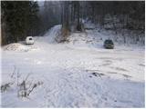
From the parking lot on the Vrh Ravni pass, continue along cart track in the direction of Kojce. Follow the gently ascending cart track for about 15 minutes, and then a direction sign directs you to the left on an increasingly steep footpath. The path through the forest then leads past a small spring to the pleasant resting place of Lipje.
The path then returns to the dense forest and starts to climb even steeper. Higher up, the steepness eases and the path turns right. After a few minutes of crossing steep slopes, the path leads to a crossroads where the path from the village of Zakojca joins us from the right.
Continue sharp left in the direction of Kojca along the path which leads us just a little further to the main ridge of the summit. Here the path turns slightly to the right and begins again to climb steeply up the increasingly scenic top slope of the mountain. Higher steepness eases and the path leads us out of the forest to the grassy slopes, which are then climbed to the top of Kojce in a few minutes of scenic walking.

Pictures:
 1
1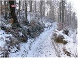 2
2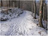 3
3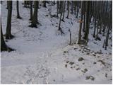 4
4 5
5 6
6 7
7 8
8 9
9 10
10 11
11 12
12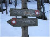 13
13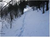 14
14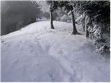 15
15 16
16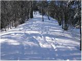 17
17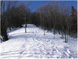 18
18 19
19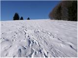 20
20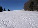 21
21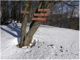 22
22 23
23
Discussion about the trail Preval Vrh Ravni - Kojca