Rateče - Ofen/Peč (eastern path, past bivouac and on footpath)
Starting point: Rateče (865 m)
| Lat/Lon: | 46,498°N 13,7164°E |
| |
Name of path: eastern path, past bivouac and on footpath
Time of walking: 1 h 45 min
Difficulty: easy marked way
Altitude difference: 643 m
Altitude difference po putu: 643 m
Map: Kranjska Gora 1:30.000
Recommended equipment (summer):
Recommended equipment (winter): ice axe, crampons
Views: 7.680
 | 3 people like this post |
Access to the starting point:
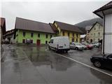
First we drive to Kranjska Gora, then we continue driving to Ratečeam. At the junction where the road to Planica turns left and continues straight on towards Itali, turn right and drive into the centre of Rateč, where you can park in a suitable place.
Path description:
From the Rateče centre, follow the signs for the footpath to Tromejo. At first, follow the road through the village, and at the crossroads follow the signs for Tromejo. Leave the road at the Rateče information board, where the signs for the Tromeja footpath direct you to the right (straight ahead Tromeja on the western path (this path is not marked on the Slovenian side)).
The path immediately turns into a forest, through which we climb up the rather steep cart track. Higher up, you reach a dirt road, which you follow to the right. After about 15 minutes, the road goes all the way to the border with Itali, and we follow it first along the edge of a meadow and then through the woods to the turn-off to the former Dom na Tromej. At this junction, continue along the upper left-hand road, which you follow to the start of a sharp right-hand bend, where the road crosses a stream and the footpath to Tromejo continues straight ahead.
Just before this crossroads, turn left onto cart track, which immediately crosses into Itali (the branch is not marked). After a few steps on cart track, you can see the Italian signs, which quite often lead you to a bivouac just over 15 minutes away, which you reach without any major orientation problems.
After the bivouac, continue to the right (straight ahead to the Maria Schnee below Gozman chapel, the western route to Rateče. . . ), where you quickly reach a wider mulatier. The ascent continues along the marked trail, which initially crosses the mulatier a few times, continues along it for a short time, and then climbs steeply to the left of the mulatier. At a higher altitude, we return to the mulatier, then follow the marked path, which leads us to the ridge to the west of the Peć summit. Here, continue to the right and, within a few steps of a scenic walk, ascend to Tromejo.
Description and pictures refer to the situation in 2015 (October).

Pictures:
 1
1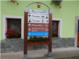 2
2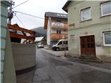 3
3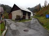 4
4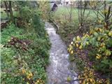 5
5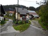 6
6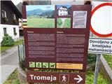 7
7 8
8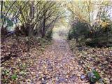 9
9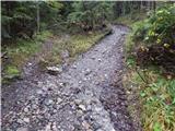 10
10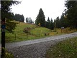 11
11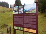 12
12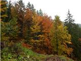 13
13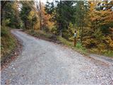 14
14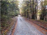 15
15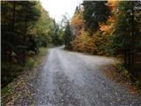 16
16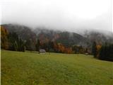 17
17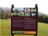 18
18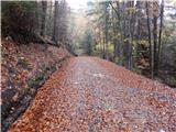 19
19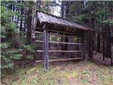 20
20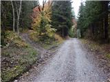 21
21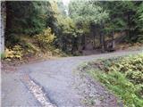 22
22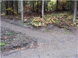 23
23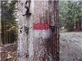 24
24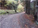 25
25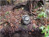 26
26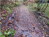 27
27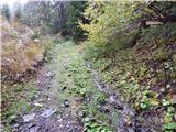 28
28 29
29 30
30 31
31 32
32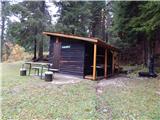 33
33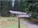 34
34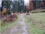 35
35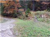 36
36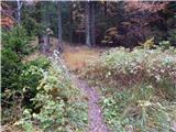 37
37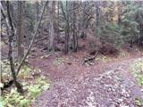 38
38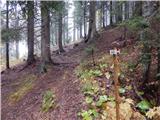 39
39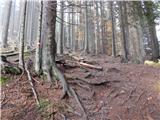 40
40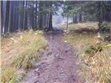 41
41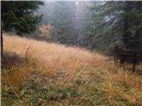 42
42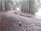 43
43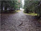 44
44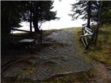 45
45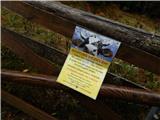 46
46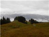 47
47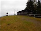 48
48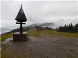 49
49 50
50
Discussion about the trail Rateče - Ofen/Peč (eastern path, past bivouac and on footpath)