Starting point: Reka (253 m)
| Lat/Lon: | 46,1175°N 13,9214°E |
| |
Time of walking: 3 h 55 min
Difficulty: easy marked way
Altitude difference: 1050 m
Altitude difference po putu: 1175 m
Map: Škofjeloško in Cerkljansko hribovje 1:50.000
Recommended equipment (summer):
Recommended equipment (winter): ice axe, crampons
Views: 5.453
 | 1 person likes this post |
Access to the starting point:
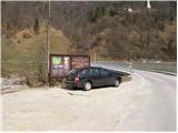
a) First drive to Idrija, then continue to Tolmin. After a while the road leads to a crossroads where the road to Cerkno turns off to the right, and we still continue straight on here, but pay attention as we will soon arrive in Reka. Just after the end of the place, we first see the signs for Kojca and a few 10 m further on for Šebrelje. Here, a narrower road branches off to the left, which leads us over a bridge over the Idrijca River to a small parking area next to the information boards for the Divje babe Archaeological Park.
b) Take Most na Soči or Podbrdo to Bača pri Modreju, then continue driving towards Idrija. Just 10 m before Reka starts, turn right over the bridge over the Idrijca River and park in the small parking lot next to the information boards.
Path description:
From the parking lot, cross back over the bridge, cross the main road carefully, and then continue right along the main road towards Idrija. After walking along the main road for about 50 m, you will see signs for Kojca, which will direct you slightly left onto a narrow asphalt road, which will quickly take you to the centre of the village of Reka. Here, continue straight ahead or slightly to the right and walk between the houses. The narrow part of the village quickly ends and we follow the road, which offers a beautiful view towards the Church of St Ivan (hill above Divje babe), to a slightly larger crossroads, where we turn slightly left in the direction of Kojca and Orehovška grape. The road then starts to climb up the left side of Orehovška grape (looking in the direction of the ascent), and we walk along it for about 10 minutes, then arrive at a small crossroads where we continue sharp left in the direction of Kojca, the top of Rodne and the Močnik farm. The initially still asphalted road soon turns sharp right and then climbs cross-climbing to the right. Higher up, the asphalt ends, and the partially scenic road quickly leads to the aforementioned farm.
Here, between the houses, turn sharp left onto cart track, which you leave at the first right-hand bend, as the signs direct you slightly right onto a slightly less well-trodden path. The path continues up the grassy slope, but when it turns into a narrow lane of scrub, it becomes more visible and easier to follow. Higher up, the path turns slightly to the left and joins the wide cart track. Once on cart track, continue left and follow it out of the forest. The relatively winding path, which continues along the scenic and meadowed cart track, gradually passes to the other side of the hill. Continue along the cart track, which also descends occasionally, to a large hayloft, where signs direct you by cart track to a beautiful grassy valley. We continue to climb up the valley, where there is no particularly visible path, and then, when we return to the forest, we see a sign pointing slightly to the right. Continue steeply up through a narrow lane of forest, then climb to the summit of the Rodna peak, which is overlooked by a stand of spring fescue. From the top, continue slightly right and start descending to the east. The way forward initially leads along a partly vegetated ridge, then gradually turns more and more to the left. The slope becomes lower and the path gradually turns into the forest. Continue briefly along the slopes on the right east side of a nearby ridge, then at a small saddle it switches to the left west side. Continue along the west side for a short distance, then the wide path changes to a partially exposed ridge. Continue straight ahead and follow the wide and partly fenced path to the other side of the ridge, where the path turns into a wide cart track, which after a short climb leads to an asphalt road. Follow the road past the home of LD Otavnik to a nearby crossroads, where you continue left in the direction of Kojce. The way forward takes us past the NOB monument to a few houses in the village of Orehek, where we continue straight on and walk to the end of the town.
When we reach the nearby chapel, just a few metres further on, we turn right onto a macadam road, which we start to climb more steeply. Walk along the road for about 10 minutes, then turn right at the house onto a marked footpath. The path first climbs through the lane of a forest, then leads to one of the many haylofts, where it turns sharp right. The ascent continues along cart track, which soon leads to vast hay fields. Here the signs direct us left onto a slightly less visible path which climbs along the edge of a small 'boardwalk'. At the top of the hay meadows, the path turns left and then climbs steeply across sometimes steep, partly grassy slopes. Higher up, the path enters woodland and begins to climb steeper still. The rather steep path continues along the edge of a nearby ravine, which it crosses at a higher level, then turns right and lies completely flat. A relatively long traverse of the slopes to the right follows. The crossing is over occasionally steep grassy slopes and partly through woodland. The crossing does not cause any major problems due to the well-maintained path, except for one short section through the forest, where the rather steep slope and the partially destroyed path require more caution. When the half-hour or so crossing is over, we join the more beaten track. Here we continue to the left (right Zakojca, Orehek, Jesenica and the Vrh Ravni preval) and continue our ascent along a relatively steep path, which first leads us past a bench and then passes into a lane of sparse forest. Higher up, the path lies down and leads us to the folded grassy slopes of Kojca. Here we continue along the gently sloping and scenic path, which in less than 5 minutes of further walking takes us to the summit, which is recognisable by its famous haystack.

Pictures:
 1
1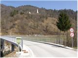 2
2 3
3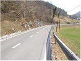 4
4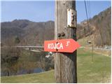 5
5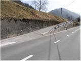 6
6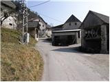 7
7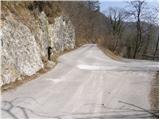 8
8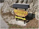 9
9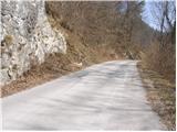 10
10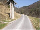 11
11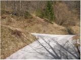 12
12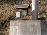 13
13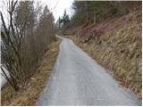 14
14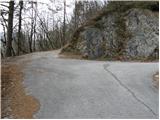 15
15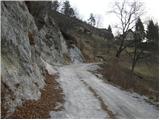 16
16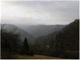 17
17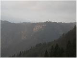 18
18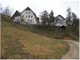 19
19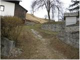 20
20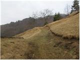 21
21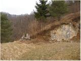 22
22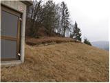 23
23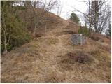 24
24 25
25 26
26 27
27 28
28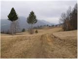 29
29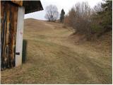 30
30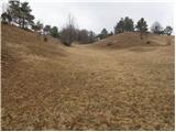 31
31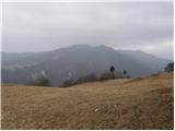 32
32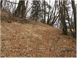 33
33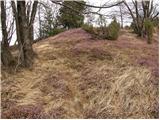 34
34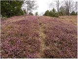 35
35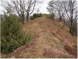 36
36 37
37 38
38 39
39 40
40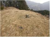 41
41 42
42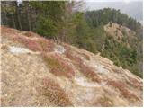 43
43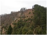 44
44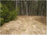 45
45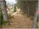 46
46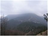 47
47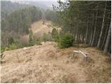 48
48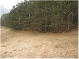 49
49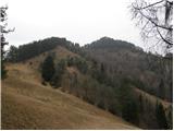 50
50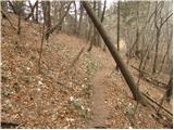 51
51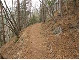 52
52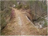 53
53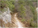 54
54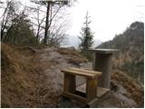 55
55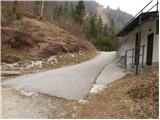 56
56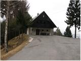 57
57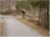 58
58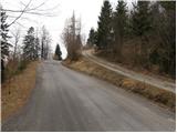 59
59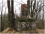 60
60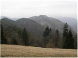 61
61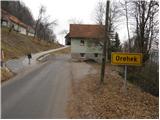 62
62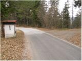 63
63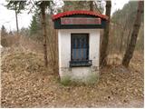 64
64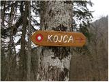 65
65 66
66 67
67 68
68 69
69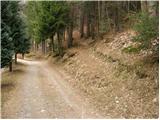 70
70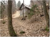 71
71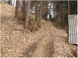 72
72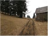 73
73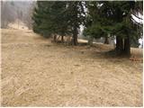 74
74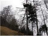 75
75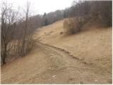 76
76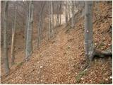 77
77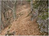 78
78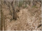 79
79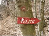 80
80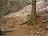 81
81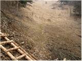 82
82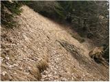 83
83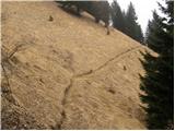 84
84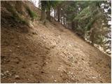 85
85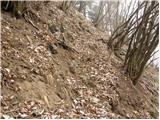 86
86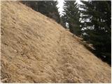 87
87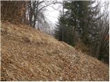 88
88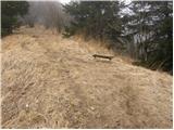 89
89 90
90 91
91 92
92 93
93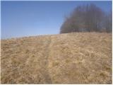 94
94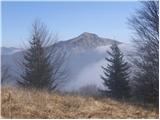 95
95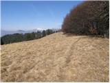 96
96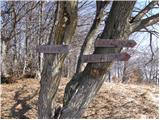 97
97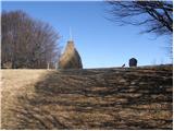 98
98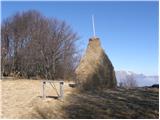 99
99 100
100
Discussion about the trail Reka - Kojca
|
| lavricr5. 05. 2012 |
Avto se lahko pusti tudi na parkirišču pred mostom čez potok Jesenica. Nato se peš odpravimo čez most in takoj na desno po cesti. Markacijam se priključimo na ovinku, ko se nam pridruži cesta iz vasi Reka. Tu vidimo tablo Orehovska grapa (deveta slika) in nadaljujemo desno po opisu.
|
|
|