Štore - Resje above Štore (via Bojanski graben and via Vrunčev dom)
Starting point: Štore (240 m)
| Lat/Lon: | 46,2213°N 15,3215°E |
| |
Name of path: via Bojanski graben and via Vrunčev dom
Time of walking: 2 h 45 min
Difficulty: easy marked way
Altitude difference: 327 m
Altitude difference po putu: 670 m
Map: Posavsko hribovje Boč - Bohor 1:50.000
Recommended equipment (summer):
Recommended equipment (winter):
Views: 1.621
 | 2 people like this post |
Access to the starting point:
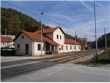
Štore ideally accessible by rail. By road. . . leave the motorway in Celje and head towards Štore or Šentjur, practically in the centre of Celje. Park your car near the Štore railway station, where there are plenty of parking spaces and also the start of a marked mountain trail.
Path description:
The route starts at the railway station in Štore. Go via Voglajna, where a direction sign immediately directs you to the right and shortly afterwards straight through the area of the old Stora Ironworks. Continue along the asphalt road in the lower part by the Bojan ditch to a new fork in the trail, where you continue straight ahead, left, across Žlajfa. Soon the road turns sharp left slightly uphill, flattens out again at the sports ground in Pečovje and after some terraced houses/possibly once a mining colony, turn left onto a forest road which turns into a forest path. The path "past Marija" branches off to the right, while it continues to the left along the Bojanski grabno gorge, directly beside the stream. Continue left higher up the hill in a steeper ascent and shortly after coming out of the forest, turn left again onto the forest road, where the path over Žlajfa soon joins from the left.
Continue right higher in the pasture-grassland part and the forest part. Soon you reach a crossroads called Ramanca. Continue sharp left, this is now also the XIV Division route, in the direction of Vrunčev dom or Resevna, right, the trail to Alma's home in Svetina. Soon you reach an asphalt road, a settlement of houses and cottages along the road, and Vrunčev, today Lovski dom na Svetini. Continue slightly downhill to the chapel by the path and extend left downhill to the Dobošek crossroads.
At the Dobošek crossroads, turn right and below the homestead, through the meadow, down the forest path past the bee farm and reach the asphalt road Štore - Svetina. Continue down the asphalt road for a good hundred metres and then through the area called Mrzla mountain pasture, past six or seven farmhouses, along the asphalt road to the left fork into the forest, where you follow a pleasant forest mountain path. When the asphalt road meets the road again, continue to Slemen, where you turn left uphill by the farmhouse. Follow the asphalt road up some three hundred metres to reach the homestead directly below the summit, the NOB monument and, after a few metres in the forest, the summit of Resje. The summit is not marked.
The total length of the trail from Štora is about 8 kilometres, 670 vertical metres and 340 negative vertical metres.

Pictures:
 1
1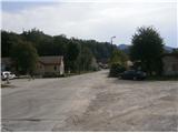 2
2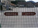 3
3 4
4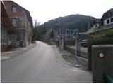 5
5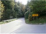 6
6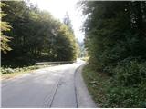 7
7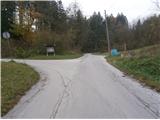 8
8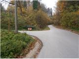 9
9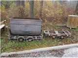 10
10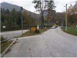 11
11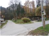 12
12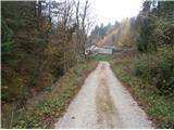 13
13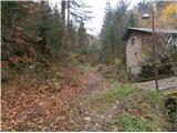 14
14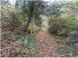 15
15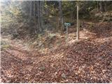 16
16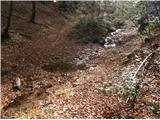 17
17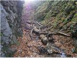 18
18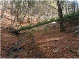 19
19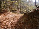 20
20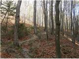 21
21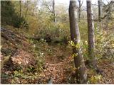 22
22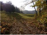 23
23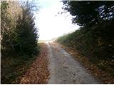 24
24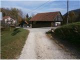 25
25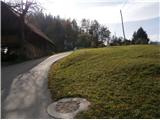 26
26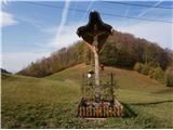 27
27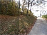 28
28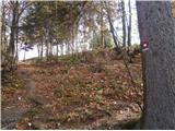 29
29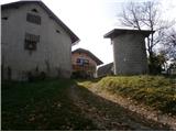 30
30 31
31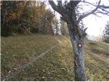 32
32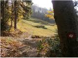 33
33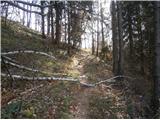 34
34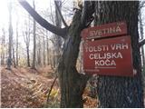 35
35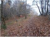 36
36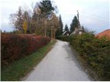 37
37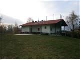 38
38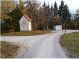 39
39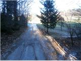 40
40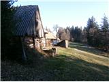 41
41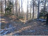 42
42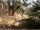 43
43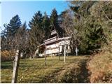 44
44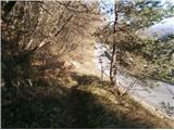 45
45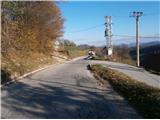 46
46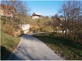 47
47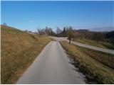 48
48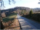 49
49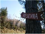 50
50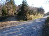 51
51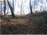 52
52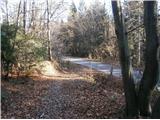 53
53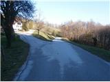 54
54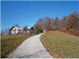 55
55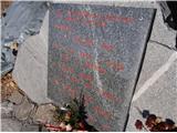 56
56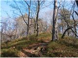 57
57
Discussion about the trail Štore - Resje above Štore (via Bojanski graben and via Vrunčev dom)