Štore - Veliki vrh above Svetina (via Marija and over Svetina)
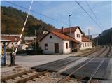
Starting point: Štore (240 m)
| Lat/Lon: | 46,2213°N 15,3215°E |
| |
Name of path: via Marija and over Svetina
Time of walking: 2 h 30 min
Difficulty: easy marked way
Altitude difference: 567 m
Altitude difference po putu: 730 m
Map: Posavsko hribovje Boč - Bohor 1:50.000
Recommended equipment (summer):
Recommended equipment (winter):
Views: 2.504
 | 2 people like this post |
Access to the starting point:
Štore ideally accessible via Slovenian railways. By road. . . leave the motorway in Celje and head towards Štore or Šentjur, practically in the centre of Celje. Park your car near the Štore railway station, where there are plenty of parking spaces and also the start of a marked mountain trail.
Path description:
The route starts at the railway station in Štore. Go via Voglajna, where a direction sign immediately directs you to the right and shortly afterwards straight through the area of the old Stora Ironworks. Continue along the asphalt road in the lower part by the Bojan ditch to a new fork in the trail, where you continue straight ahead, left along the trail ,,over Žlajfa,,. Soon the road turns sharp left slightly uphill, flattens out again by the playground and after a few terraced houses turn left onto a forest road, which turns into a forest trail. The path "through Bojanski graben" branches off to the left, while we continue uphill to the right. The path from Celje and Tehari soon joins from the right. Continue left along the forest road by two or three houses and then left again along the forest path. Further on, the path forks at Srebotnik and shortly afterwards you reach a chapel carved into a rock face.
From the chapel, continue up the forest path and follow the signs and direction signs. There is a fork in the larger grassy clearing, where you continue left to Alma's home, and to the right is the path to Tolsti vrh. . .
Follow the forest path to a crossroads where the path continues up to Almin dom, while we descend right down to the village of Svetina. After a short visit to the settlement, we continue along the XIV. divizije path by the cemetery (the grave of the great traveller Alma Karlin, immediately to the left at the entrance), following the road higher up towards Kanjuce. At the larger homestead on the right, also by the horse paddock, go to the wooden cross on the right by the road and turn sharp right up the asphalt towards the only homestead, which you pass on the right and then straight ahead along the forest path - a good hundred metres to the top. The summit is the highest point, marked by a boundary stone - a surveyor's stone. There are also four large, distinctive beech trees at the top. From the wooden cross past the homestead to the top there are no markings but the traceability of the path is somewhere logical. The summit is not visible.

Pictures:
 1
1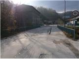 2
2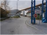 3
3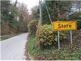 4
4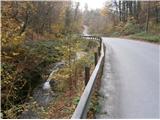 5
5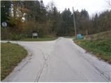 6
6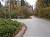 7
7 8
8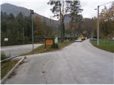 9
9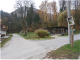 10
10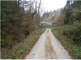 11
11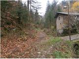 12
12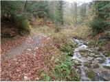 13
13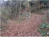 14
14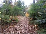 15
15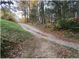 16
16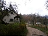 17
17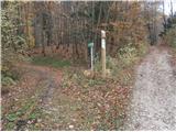 18
18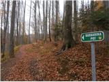 19
19 20
20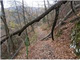 21
21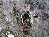 22
22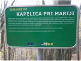 23
23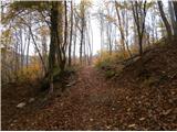 24
24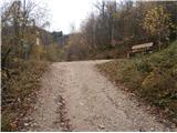 25
25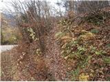 26
26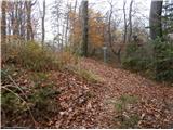 27
27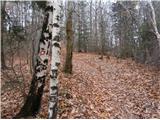 28
28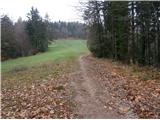 29
29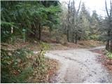 30
30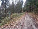 31
31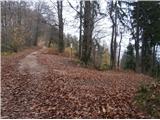 32
32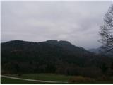 33
33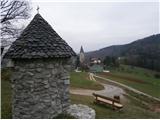 34
34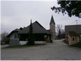 35
35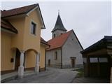 36
36 37
37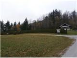 38
38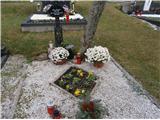 39
39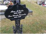 40
40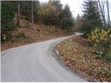 41
41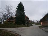 42
42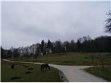 43
43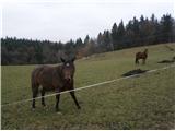 44
44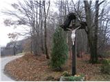 45
45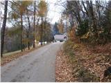 46
46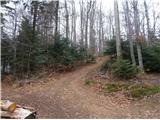 47
47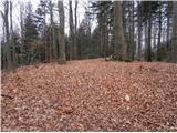 48
48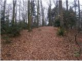 49
49 50
50 51
51
Discussion about the trail Štore - Veliki vrh above Svetina (via Marija and over Svetina)
|
| bruny30. 04. 2016 |
V sobotnem dopoldnevu. 30.04.2016 po opisani poti vzpon na drugi po višini vrh v Celjskem hribovju. Še nekaj ostankov aprilske zime višje...
|
|
|