Stranice - Stolpnik (via hunting cottage Štepih)
Starting point: Stranice (447 m)
| Lat/Lon: | 46,36245°N 15,3641°E |
| |
Name of path: via hunting cottage Štepih
Time of walking: 2 h 15 min
Difficulty: easy marked way
Altitude difference: 565 m
Altitude difference po putu: 590 m
Map:
Recommended equipment (summer):
Recommended equipment (winter): ice axe, crampons
Views: 127
 | 1 person likes this post |
Access to the starting point:
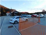
a) Leave the Ljubljana - Maribor motorway at exit Celje East, then follow the signs for Vojnik and then Frankolovo and Slovenske Konjice. When the Spodnje Stranice settlement ends, turn left before the road sign marking the beginning of the Stranice settlement in the direction of the primary school, kindergarten, cemetery, fire station, home of the residents, etc. It is only a short drive to the parking area near the local residents' home and the cemetery.
b) Leave the Maribor - Ljubljana motorway at the Slovenske Konjice exit, then follow the signs for Slovenske Konjice, and later Stranice and Vojnik. From the roundabout in Stranice continue straight on, just after the road sign marking the end of Stranice turn right in the direction of the primary school, kindergarten, cemetery, fire station, residents' home, etc. It is only a short drive to the parking area near the local residents' home and the cemetery.
Path description:
From the parking lot, follow the pavement back to the main road, then turn left towards the roundabout. From the roundabout, or even a little further on, follow the road towards Bukovlje. Continue on a slight to moderate incline through the settlement, where you will see only a few signs along the way. When the settlement ends, the path leads us through the forest, and when we arrive in the hamlet Čretvež, we go slightly to the right. Just a little further on, we arrive at a marked crossroads where we join the path with the starting point at the Hundred Hostages Memorial Park, and we continue straight on in the direction of Stolpnika. Follow the asphalt road to Kersnik's homestead, after which turn right onto a side road. On the other side of the homestead, the signs for Stolpnik direct us left to cart track, and after a few steps right to cart track and up a marked footpath. The markings become more frequent as we follow them as we climb through the forest.
At a higher altitude, take the forest road and follow it to the right towards the Štepih hunting lodge (straight ahead on footpath Stolpnik across the Grofov Štant). Continue along the macadam road, which takes about 15 minutes of further walking to reach a crossroads, where you go left and then quickly reach the aforementioned hunting lodge.
Leave the road at the hunting lodge and turn left onto the marked footpath in the direction of Stolpnika. There is a short climb through the forest and then cross a forest road. On the other side of the road you also climb through the forest, and higher up you pass over a short lookout, from which you have a nice view of part of Karawanks and Pohorje. The path returns to the forest after this part, through which you continue until you reach the summit, a few minutes away, where there is a 25-metre-high lookout tower.
Stranice - Čretvež 0:50, Čretvež - hunting lodge 1:00, hunting lodge - Stolpnik 0:25.

Pictures:
 1
1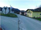 2
2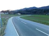 3
3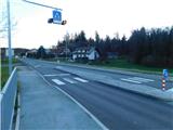 4
4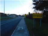 5
5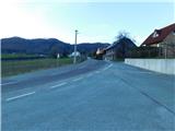 6
6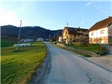 7
7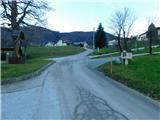 8
8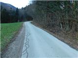 9
9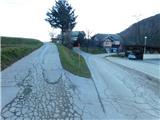 10
10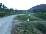 11
11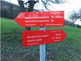 12
12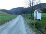 13
13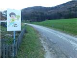 14
14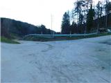 15
15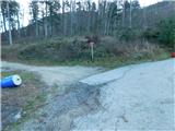 16
16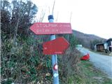 17
17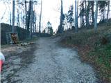 18
18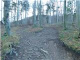 19
19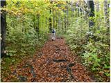 20
20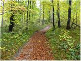 21
21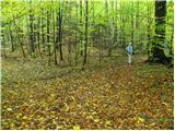 22
22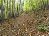 23
23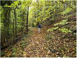 24
24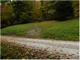 25
25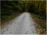 26
26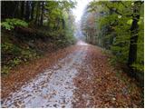 27
27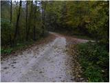 28
28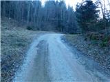 29
29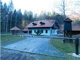 30
30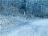 31
31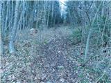 32
32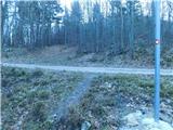 33
33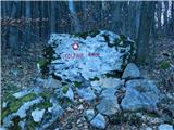 34
34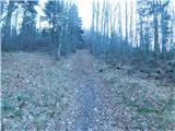 35
35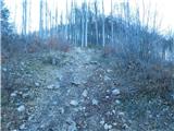 36
36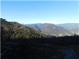 37
37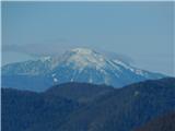 38
38 39
39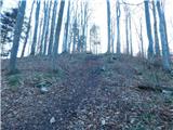 40
40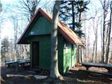 41
41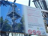 42
42 43
43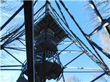 44
44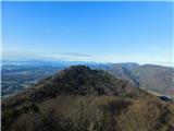 45
45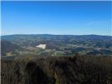 46
46 47
47
Discussion about the trail Stranice - Stolpnik (via hunting cottage Štepih)