Trnovska vas - Vurberk Castle
Starting point: Trnovska vas (247 m)
| Lat/Lon: | 46,52015°N 15,88555°E |
| |
Time of walking: 3 h 5 min
Difficulty: easy marked way
Altitude difference: 180 m
Altitude difference po putu: 475 m
Map:
Recommended equipment (summer):
Recommended equipment (winter): ice axe, crampons
Views: 194
 | 1 person likes this post |
Access to the starting point:
a) Leave the Pomurje motorway at the Sveta Trojica exit, then follow the signs for Ptuj. When you arrive at Trnovska vas, turn right towards the cemetery, and we will park shortly after the crossroads in the marked parking area.
b) Take Ptuj, then follow the signs for Gornja Radgona and Sveta Trojica. At the Trnovska vas settlement, we see red mountain direction signs at the roundabout, and we continue "straight ahead" from the roundabout, then go left towards the cemetery, and soon after the crossroads we park in the marked parking lot.
Path description:
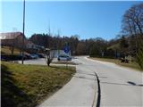
From the parking lot, return to the main road, then continue right to the nearby roundabout, where you will see the first markings and also the first mountain direction signs. Continue right towards Vurberk (Vitomarci on the left), where you pass a few houses at first, and then Trnovska vas ends. The way forward leads us along a pavement and cycle path, and from this path, after the memorial, we go right into the woods, where we are directed by the markings. Walk through the forest for a few minutes and then return to the cycle path, which ascends to Bišečki Vrh and also to Trnovski Vrh. Continue past a few houses, and when the cycle path turns right, turn left onto a side road, along which the signs continue. There are a couple of crossroads where you follow the markings, and when the road makes a left turn, turn right onto a side dirt road. There is some downhill through the forest, and when you leave the forest you reach a crossroads by a meadow, where you go left (right Črmlja). There is an easy climb, and at the hunting observation post you go right on cart track, which starts to climb through the forest, and the markings are more sparse along it. Higher up, the path bends slightly to the right, where it briefly traverses the slopes to the right, and then takes the cart track to the left, climbing up to an asphalt road, which is followed uphill to the left, and this quickly leads to a junction, where you go right.
Go right at the next junction and then climb up to the nearby transmitter, which is located on a 386 m high peak.
From here it is downhill on an asphalt road, descending more than 100 metres. When you reach a slightly wider road in the valley, turn right, and after the bus stop, turn left onto a side road in the direction of Gomila and Vurberka.
Continue through the forest for a few minutes and when you leave the forest you arrive at Gomila, from where you can enjoy beautiful views of the surrounding area. Higher up, the asphalt road is laid, and we leave it at a small junction and continue straight on to a worse macadam road, which we first climb, and then, passing a few houses, cross the slopes to the right in a slight ascent. When the houses end, turn right and continue along the dirt road, which quickly leads to an asphalt road, where you go straight ahead. Just after the crossroads you arrive in the village of Krčevina at Vurberk and go straight ahead at the bus stop. After the settlement, the asphalt ends, and we continue on the macadam road, which first descends slightly and then ascends to the marked crossroads at Črni tabli.
Continue left towards Grmada and Vurberk and continue along the asphalt road, which you quickly leave as you continue left on the macadam road, from which you soon turn right onto a footpath. The path climbs gently at first and then reaches a ridge where the path becomes steep. Below the summit, the path becomes flatter and you reach the registration box, which is located a few steps below the tower on Grmada.
From the north-west summit of Grmada, descend along the marked path towards Vurberk, and when you reach the saddle between the two Grmadas, the marked path turns slightly right and continues descending (straight southeast summit of Grmada). The path continues on to steeper slopes, crossing over which you descend to cart track, which you follow to the left, and from which you go a little further down to the right. There is a short descent and by the chapel you reach the main road, which you cross carefully.
Continue along the parking lot of the Cultural Centre Vurberk and climb slightly to a nearby crossroads where the road to the castle turns left and we continue straight ahead on the marked path, which climbs higher up the steps. Above the steps, we return to the road and then quickly pass the parish church of St Mary of the Assumption to reach Vurberk Castle.
Trnovska vas - north-western top of Grmada 2:45, north-western top of Grmada - Vurberk Castle 0:20.
Description and pictures refer to March 2022.

Pictures:
 1
1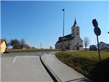 2
2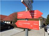 3
3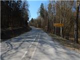 4
4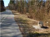 5
5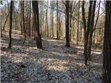 6
6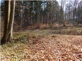 7
7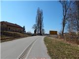 8
8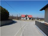 9
9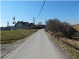 10
10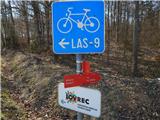 11
11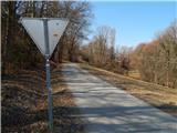 12
12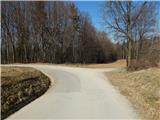 13
13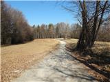 14
14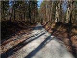 15
15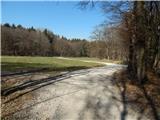 16
16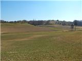 17
17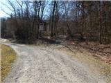 18
18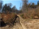 19
19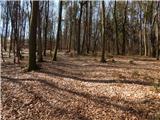 20
20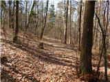 21
21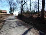 22
22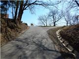 23
23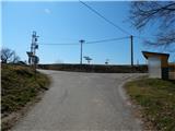 24
24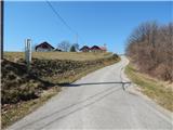 25
25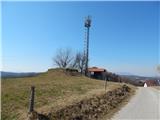 26
26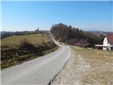 27
27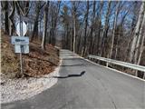 28
28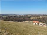 29
29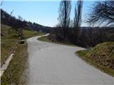 30
30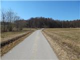 31
31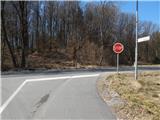 32
32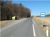 33
33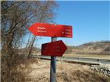 34
34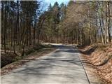 35
35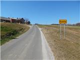 36
36 37
37 38
38 39
39 40
40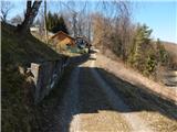 41
41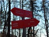 42
42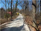 43
43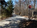 44
44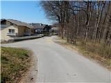 45
45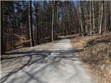 46
46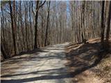 47
47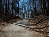 48
48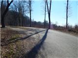 49
49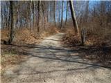 50
50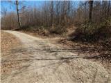 51
51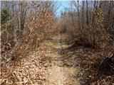 52
52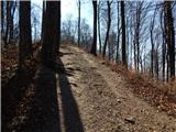 53
53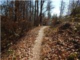 54
54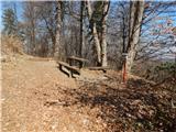 55
55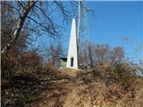 56
56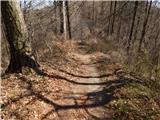 57
57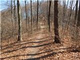 58
58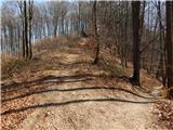 59
59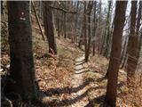 60
60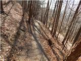 61
61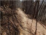 62
62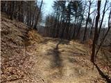 63
63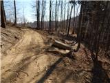 64
64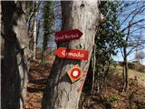 65
65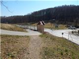 66
66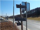 67
67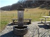 68
68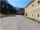 69
69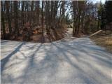 70
70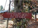 71
71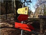 72
72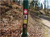 73
73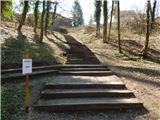 74
74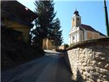 75
75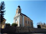 76
76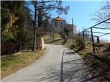 77
77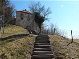 78
78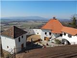 79
79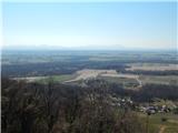 80
80
Discussion about the trail Trnovska vas - Vurberk Castle