Unterpirkach - Hochstadel
Starting point: Unterpirkach (636 m)
| Lat/Lon: | 46,7592°N 12,9249°E |
| |
Time of walking: 6 h
Difficulty: partly demanding marked way
Altitude difference: 2045 m
Altitude difference po putu: 2060 m
Map: Kompass, Lienzer Dolomiten/Lesachtal 1:50.000
Recommended equipment (summer):
Recommended equipment (winter): ice axe, crampons
Views: 4.148
 | 3 people like this post |
Access to the starting point:
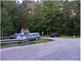
From Ljubljana, through the Karavanke Tunnel and then along the motorway to Spittal. We continue driving towards Lienz, and we follow the Drava Valley to Oberdrauburg, where we turn left towards Kötschach and the Plöckenpass. Just after the River Drava and the railway line, turn right (at the crossroads you will see a number of signs, including one for the Hochstadelhaus hut), and we then follow a slightly narrower road to Unterpirkach. Continue past the large chapel and a few metres further on over the bridge over the Pirkner stream. Just after the bridge, turn left and park in the parking lot by the mountain direction signs.
Path description:
From the parking lot, continue along the winding dirt road that runs along the right-hand side of the nearby stream. After a few minutes, the track splits into two. The left-hand one ends at the stream after a few 10 metres, while we continue along the right-hand one, which gradually starts to climb steeply. The marked path soon leaves the deteriorating track and continues to the right, where it climbs steeply across sometimes slightly steeper slopes. Higher up, the path returns to the track, and we continue along it to its end.
The waymarked footpath continues in the same direction, then after a while turns left, where we soon join a climbing path.
We continue on the well-trodden path, which crosses the road at a higher level (the road is closed to public traffic), and then returns to the forest, passing Hilda's smoking bench, and leads us back to the forest road. The marked path crosses the road a few more times, or continues on it for a short time. Higher up, the forest thins out, opening up beautiful views to the east, where you can see the River Drava and part of the Zilj Alps. Higher up, the trail returns to the road, which is then followed all the way to the Hochstadelhaus mountain hut.
From the mountain hut, continue slightly to the right (direction Hochstadel) and climb through a short lane of a forest to the mountain pasture Unholdenalm. Here, walk to the right side of mountain pasture, where you rejoin the road at a couple of huts. There is a short, steep climb on a deteriorating road before arriving at a marked crossroads.
Continue slightly to the right in the route "Hochstadel - route No 218, 3 h" and continue the ascent on a moderately ascending path. The trail, which continues through extensive grazing areas, turns right at a higher altitude and climbs steeply for a short distance. The path soon turns left and almost completely flattens out. There follows a folded traverse which passes beneath the walls of the 2283 m-high Rudnigkofl. When the traverse ends, the path turns right and climbs in a few switchbacks over steep and, especially in the wet, slippery slopes. After a short steep climb, you reach a ridge with a view, and the trail turns sharply to the left, where it lays down again. There is a short scramble over an exposed ridge before the path switches to less steep slopes. We continue climbing along an increasingly scenic route, which leads us through a series of several small valleys. Higher up, the path becomes slightly steeper and, just below the summit, slightly exposed in places. Follow this very scenic route, which in the last part passes just a few metres away from the mighty precipice, all the way to the top of Hochstadl.

Pictures:
 1
1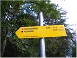 2
2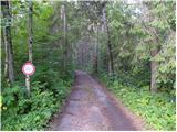 3
3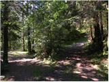 4
4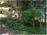 5
5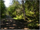 6
6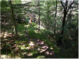 7
7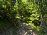 8
8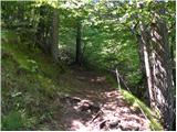 9
9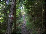 10
10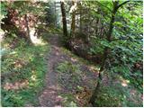 11
11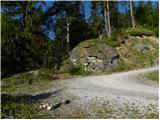 12
12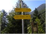 13
13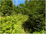 14
14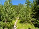 15
15 16
16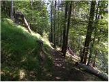 17
17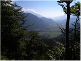 18
18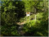 19
19 20
20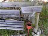 21
21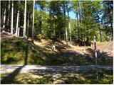 22
22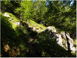 23
23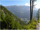 24
24 25
25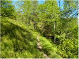 26
26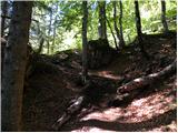 27
27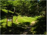 28
28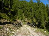 29
29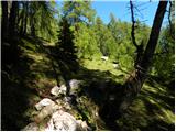 30
30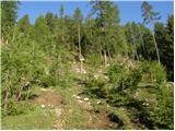 31
31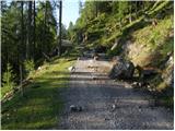 32
32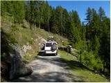 33
33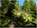 34
34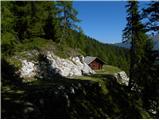 35
35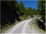 36
36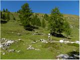 37
37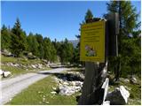 38
38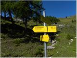 39
39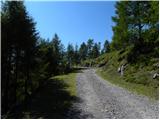 40
40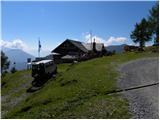 41
41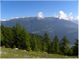 42
42 43
43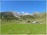 44
44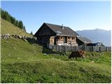 45
45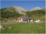 46
46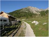 47
47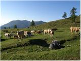 48
48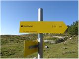 49
49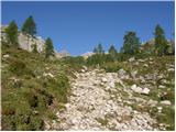 50
50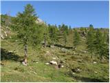 51
51 52
52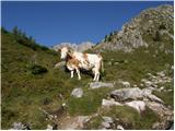 53
53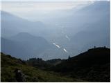 54
54 55
55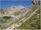 56
56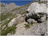 57
57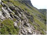 58
58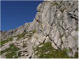 59
59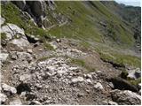 60
60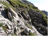 61
61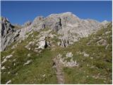 62
62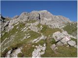 63
63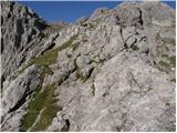 64
64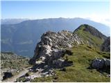 65
65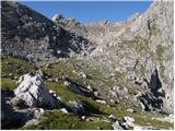 66
66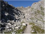 67
67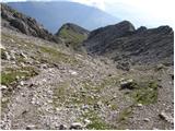 68
68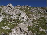 69
69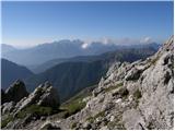 70
70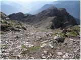 71
71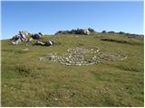 72
72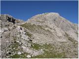 73
73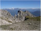 74
74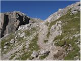 75
75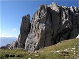 76
76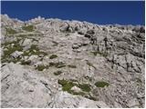 77
77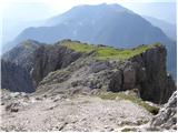 78
78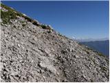 79
79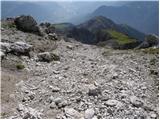 80
80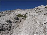 81
81 82
82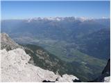 83
83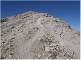 84
84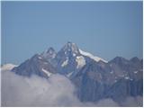 85
85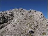 86
86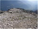 87
87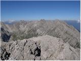 88
88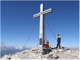 89
89
Discussion about the trail Unterpirkach - Hochstadel
|
| cebelca23. 09. 2011 |
Bi mogoče kdo vedel povedat koliko je na Hochstadlu zapadlo snega prejšnje dni? Hvala.
|
|
|