Volovljek - Lepenatka (via Bivak na Kalu)
Starting point: Volovljek (1029 m)
| Lat/Lon: | 46,283°N 14,6884°E |
| |
Name of path: via Bivak na Kalu
Time of walking: 3 h 10 min
Difficulty: easy unmarked way, easy marked way
Altitude difference: 396 m
Altitude difference po putu: 600 m
Map: Kamniške in Savinjske Alpe 1:50.000
Recommended equipment (summer):
Recommended equipment (winter): ice axe, crampons
Views: 1.130
 | 3 people like this post |
Access to the starting point:
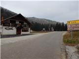
a) First, drive to Kamnik, then continue driving towards the Črnivec Pass. Just a few 100 m before the pass, you will see signs for Kranjski Rak, which direct you sharp left onto a narrow and initially quite steep road. The road is higher and then leads us to the Volovljek Pass, where we park near the Kranjski Rak guesthouse (parking in front of the guesthouse is only allowed for guests). There is a little more parking space near the Štajerski Rak guesthouse.
b) From Gornji Grad, drive towards Kamnik, and then, just 100 m after the Črnivec Pass, turn right towards Kranjski Rak. Continue as described above.
c) From the Savinjska valley, first drive to Luce, then continue towards Kamnik. When you reach the Volovljek pass, park in a suitable place next to the Kranjski Rak guesthouse (only guests are allowed to park in front of the guesthouse). There is a little more parking space near the Štajerski Rak guesthouse.
Path description:
From the Volovljek Pass, first walk to the Štajerski Rak cafeteria (the cafeteria is located on the eastern side of the Volovljek Pass, but on maps Štajerski Rak is marked where the Štajerski Rak homestead once stood).
From the Štajerski Rak refreshment bar, continue along the forest road, which begins to climb gently to moderately through the forest. During the cross-country ascent along the road, the path mostly leads us along the north-western slopes of Kranjska Ribra, from which we occasionally get a nice view of Podvolovljek and the mountains above the valley. Higher up, the forest ends transitively and a view of the highest peaks of the Kamnik and Savinja Alps opens up, and the road turns slightly to the right and leads us to an area called Na kalu, where there is a marked crossroads.
Here, a marked trail to Kranjska reber branches off to the right, the road continues in a straight direction, which leads to the Črnivec Pass, and we continue to the left, along the road in the direction of Lepenatka. The road then descends crosswise along the eastern slopes of Kašnega vrh, from where we have a nice view towards Menina mountain pasture in a few places. When the road turns sharp left and turns into cart track, leave it and continue straight into the forest. Continue through the forest for some time, descending via a short jump. At a lower level you reach a forest road, which you follow in a straight line, and then, as the road turns slightly to the right off the ridge, you continue straight on to the ascending cart track, along which there are also markings. cart track first climbs steeply up the ridge, then turns slightly left and down to the unmarked cart track, which after a short cross-country descent joins the forest road leading out of Podvolovljek.
Continue along the above-mentioned cart track (straight marked path to Lepenatka), and when you reach the road follow it up to the right. Follow the road as it ascends the western slope of Kunšperški vrh, and higher up you will reach a right turn, located at the saddle between Mali Rogatec on the left and the aforementioned summit on the right. Continue along the road and follow it to its end. From the end of the road, follow the upper path, the lower left path leads to Podvolovljek, and you can see old markings along the way. Then cross a steeper slope, where we find some fixed safety gear to help us. When, after less than 5 minutes, we reach the end of the second road, slightly to the right we see the continuation of the path leading towards Bivouac na Kalu. We follow the traceable, but less well-beaten path all the way to the Bivouac na Kalu.
From the bivouac, we walk to a marked crossroads, located a few 10 steps further on, on a saddle between Velika Rogatec on the left and Lepenatka on the right.
Continue right in the direction of Lepenatka (left Rogatec - climbing path, slightly left Zgornji Špeh and Rogatec - past Zgornji Špeh, straight Gornji Grad and the church of St. Lenart) and follow the path along the initially gentle and then steeper grassy slope. Rogatec - climbing path, slightly left Zgornji Špeh and Rogatec - past Zgornji Špeh, straight Gornji Grad and the church of St. Lenart. The steep part is short, then climb moderately up the increasingly scenic slope. With beautiful views, especially of Styria and the surrounding mountains, you quickly reach a ridge where you join another trail from St Lenart's Church and the trail from Mačka Kot.
Continue to the right and within a minute's walk you will reach a lookout point with a registration box with a registration book and a stamp.
Volovljek - Bivak na Kalu 2:45, Bivak na Kalu - Lepenatka 25 minutes.

Pictures:
 1
1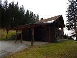 2
2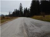 3
3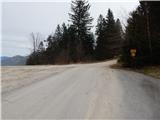 4
4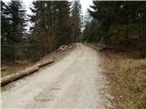 5
5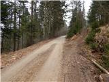 6
6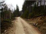 7
7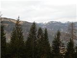 8
8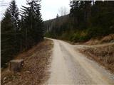 9
9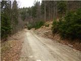 10
10 11
11 12
12 13
13 14
14 15
15 16
16 17
17 18
18 19
19 20
20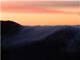 21
21 22
22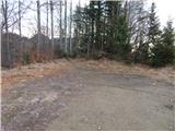 23
23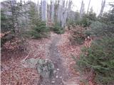 24
24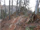 25
25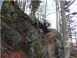 26
26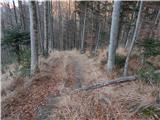 27
27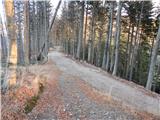 28
28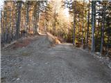 29
29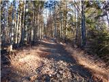 30
30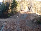 31
31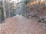 32
32 33
33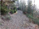 34
34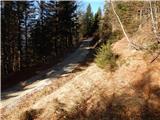 35
35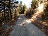 36
36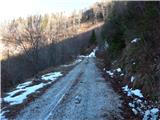 37
37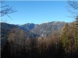 38
38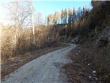 39
39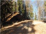 40
40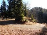 41
41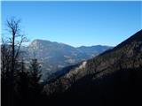 42
42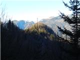 43
43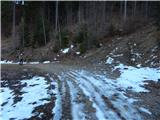 44
44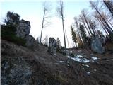 45
45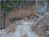 46
46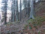 47
47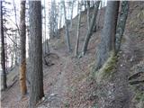 48
48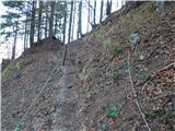 49
49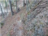 50
50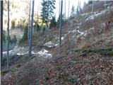 51
51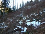 52
52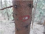 53
53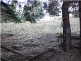 54
54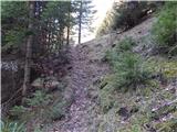 55
55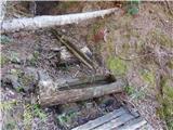 56
56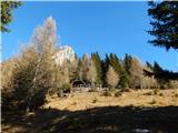 57
57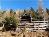 58
58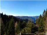 59
59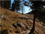 60
60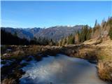 61
61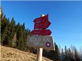 62
62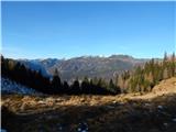 63
63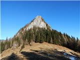 64
64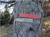 65
65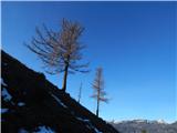 66
66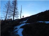 67
67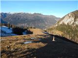 68
68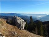 69
69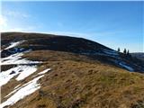 70
70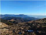 71
71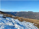 72
72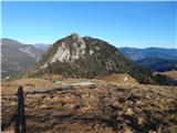 73
73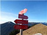 74
74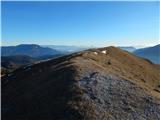 75
75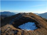 76
76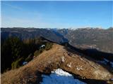 77
77
Discussion about the trail Volovljek - Lepenatka (via Bivak na Kalu)