Starting point: Vrh Bače (1273 m)
| Lat/Lon: | 46,2381°N 13,9804°E |
| |
Time of walking: 45 min
Difficulty: easy marked way
Altitude difference: 301 m
Altitude difference po putu: 301 m
Map: TNP 1:50.000
Recommended equipment (summer):
Recommended equipment (winter): ice axe, crampons
Views: 6.137
 | 1 person likes this post |
Access to the starting point:
1. From Bohinjska Bistrica, drive to Soriška planina. Just 400m before the parking lot at Soriška planina, a forest road branches off to the right. Follow this road to its end, where you park.
2. From Železniki or Podbrdo, drive towards Soriška mountain pasture. From Soriška planina start descending towards Bohinjska Bistrica. After about 400m from the parking lot, a forest road branches off to the left. Take this road and follow it to the parking lot at the end of the road.
Path description:
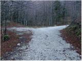
From the parking lot, walk to the saddle Vrh Bače, where the signs for Možic and Šavnik direct you left onto the ascending footpath. The path climbs steeply through the forest for a short distance and then leads to a grassy leveling where the path is transitively laid. The path then returns to the forest, where after a short climb it leads us to an old military bunker, which has been converted into a kind of weekend retreat, and the path bypasses it on the right-hand side. The moderately steep path then leads us to the edge of the ridge (here we can climb in a few steps to a beautiful viewpoint - a view of Baško Grapa and Kobla) along which we then climb through more or less compacted forest. Higher up, the trail turns left and completely flattens out. A good 5 minute walk follows, and then the path leads to a larger grassy slope between Šavnik and Slatnik. Here we continue on an easy path which turns to the right and after a few steps leads us to a marked crossroads.
Continue slightly left in the direction of Šavnik (straight mountain pasture after Šavnik and Možic) along the path which turns into lane of a forest through which it starts to climb more steeply. Higher up, you leave the forest onto grassy and raspberry-covered slopes, over which you climb in a transverse ascent to the south-east ridge of Šavnik. Here the path turns slightly to the left and continues along and along the ridge already mentioned. This relatively steep and increasingly scenic route is then followed all the way to the summit.

Pictures:
 1
1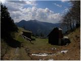 2
2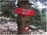 3
3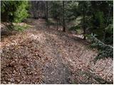 4
4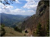 5
5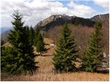 6
6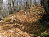 7
7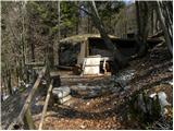 8
8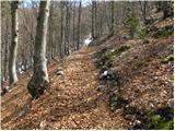 9
9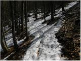 10
10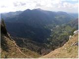 11
11 12
12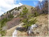 13
13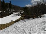 14
14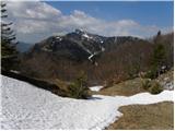 15
15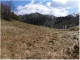 16
16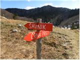 17
17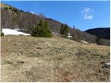 18
18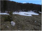 19
19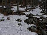 20
20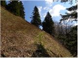 21
21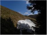 22
22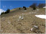 23
23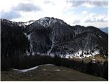 24
24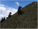 25
25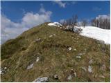 26
26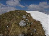 27
27 28
28 29
29
Discussion about the trail Vrh Bače - Šavnik