Weissensee - Eckwand (via Karalm)
Starting point: Weissensee (940 m)
| Lat/Lon: | 46,6989°N 13,4148°E |
| |
Name of path: via Karalm
Time of walking: 5 h
Difficulty: easy marked way
Altitude difference: 1281 m
Altitude difference po putu: 1281 m
Map:
Recommended equipment (summer):
Recommended equipment (winter): ice axe, crampons
Views: 3.259
 | 1 person likes this post |
Access to the starting point:
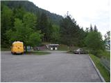
Shortly before Spittal, from the route of Villach (along the old road), the road to Ziebel branches off to the left. At the village, continue driving towards the Weissensee lake, which is about 15km from Ziebel. Park in the large parking lot near the lake.
Path description:
From the large parking lot, walk down a few metres to the main road, where you will see signs on the left. Take the wide path that leads along the lake behind the "Techendorf" sign. The path first leads over a small bridge and leads to the bivouac on the eastern side of Lake Weissensee. Here, turn right onto the tarmac road that runs alongside the bivouac and leads to a crossroads where you turn left and after walking for a few metres you come to a set of signs. Turn right onto the mountain road after the "Neusacher Alm" signs. The mountain road leads you along a stream, through a tunnel and past some waterfalls in the first part. The road passes through a forest and only occasionally you get a view of the Weissensee lake. The mountain road, which is marked with red and white signs, then leads to the mountain pasture Mößlacheralm. From mountain pasture you walk along the road for a while and then the signs direct you left into the forest. The forest soon ends and the path leads across the meadow back to the mountain road. There is a short descent to the hut at mountain pasture Karalm.
At the hut, leave the marked trail and continue straight ahead along cart track, which leads past the hut. You could also continue on the marked path, but the unmarked path is much shorter. Cart track soon ends and we turn right onto a footpath which leads us into the forest with mountain pasture. The path through the forest then crosses the southern slopes all the way to the east and leads back to the waymarked path. At the crossroads, turn left and follow the wide waymarked path. Soon you will emerge from the forest onto the open grassy slopes between Hochstaff and Kopasnock Peaks. The trail then climbs up the grassy slopes for some time to the saddle Mitterstaff
At the saddle, turn left onto the waymarked trail, which leads to the signposts at the saddle between Peak Eckwand and Kopasnock. At the saddle, bear right and continue up the grassy slope to the summit.

Pictures:
 1
1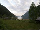 2
2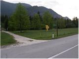 3
3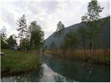 4
4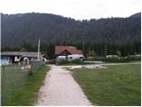 5
5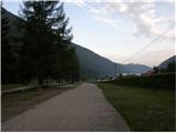 6
6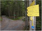 7
7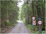 8
8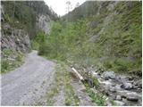 9
9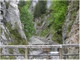 10
104471438.th.jpg) 11
11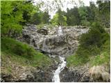 12
12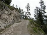 13
134471438.th.jpg) 14
14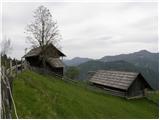 15
15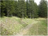 16
16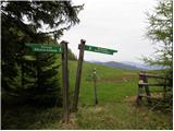 17
17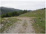 18
18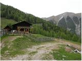 19
19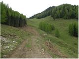 20
20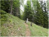 21
21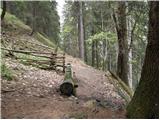 22
22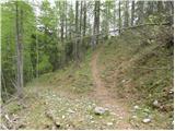 23
234471467.th.jpg) 24
24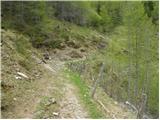 25
25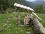 26
26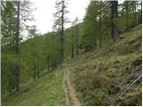 27
27 28
28 29
29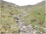 30
30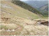 31
31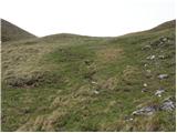 32
32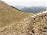 33
33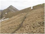 34
34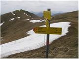 35
35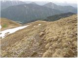 36
36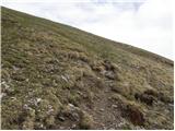 37
37 38
38 39
39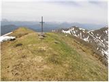 40
40
Discussion about the trail Weissensee - Eckwand (via Karalm)