Starting point: Zabočevo (400 m)
| Lat/Lon: | 45,9095°N 14,4008°E |
| |
Time of walking: 1 h 45 min
Difficulty: easy marked way
Altitude difference: 389 m
Altitude difference po putu: 425 m
Map: Ljubljana - okolica 1:50.000
Recommended equipment (summer):
Recommended equipment (winter):
Views: 11.515
 | 1 person likes this post |
Access to the starting point:
From the motorway Ljubljana - Koper take the exit Vrhnika and follow the road towards Verda, Bistra, Borovnica and Podpeči. In Borovnica you will reach a crossroads where you will turn right in the direction of Pekel. Follow the relatively narrow road in the direction of Brezovica at Borovnica, but only until the signs for the village of Zabočevo direct you to the left. The road soon leads us to the village, and we follow it a little further to the mountain signs for Rakitno. Park a few 10 m higher up in one of the car parks along the road.
Path description:
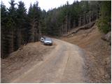
From the starting point, where there is also a warning sign that you are entering the bear area, follow the footpath in the direction of Rakitna. The path initially leads us along the wide cart track, which after a good 10 minutes of moderate ascent leads us to a small clearing, where there is also a less well-marked crossroads.
Rare and occasionally rather faded markings direct us here to the right to the noticeably steeper cart track, which then continues to climb crosswise. The path leads us higher up to a forest road, which we only cross, as the markings for Rakitna and Krimšček direct us to cart track, which continues to climb through the forest.
The increasingly winding path, which continues to the south-east, leads us after a while to a crossroads at the NOB monument.
Here continue left down the initially wide cart track (straight Krimšček), which after a short descent joins a dirt road. After a few minutes, the road becomes asphalt and leads to the village of Rakitna. Continue along the asphalt road, which leads you past houses to the main road within 15 minutes of further walking.
Once you reach the main road, you can walk for a few minutes to the parish church of St. Cross, or continue to the right and after a further 5 minutes walk you will reach the lake at Rakitna, next to which there is a newly built hotel.

Pictures:
 1
1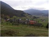 2
2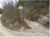 3
3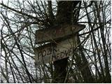 4
4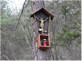 5
5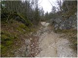 6
6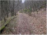 7
7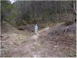 8
8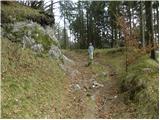 9
9 10
10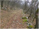 11
11 12
12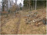 13
13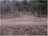 14
14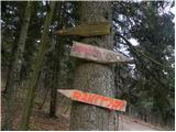 15
15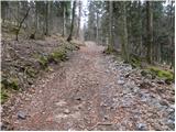 16
16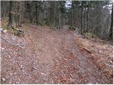 17
17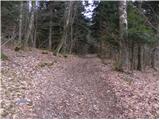 18
18 19
19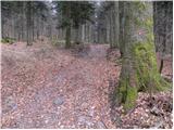 20
20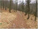 21
21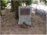 22
22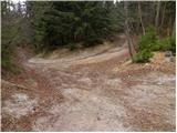 23
23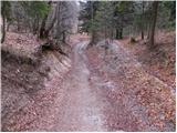 24
24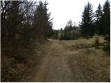 25
25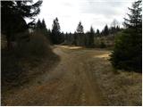 26
26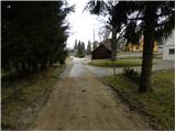 27
27 28
28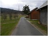 29
29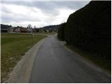 30
30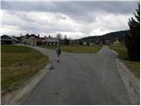 31
31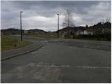 32
32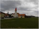 33
33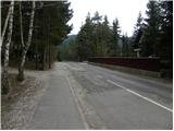 34
34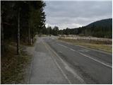 35
35 36
36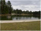 37
37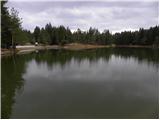 38
38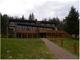 39
39
Discussion about the trail Zabočevo - Rakitna
|
| Hribolazec8124. 02. 2024 13:35:01 |
Kako je kaj tale pot označena?
|
|
|