Zgornja Bistrica (Center Vintgar) - Repnikov vrh (via Bistriški vintgar)
Starting point: Zgornja Bistrica (Center Vintgar) (320 m)
| Lat/Lon: | 46,40214°N 15,54226°E |
| |
Name of path: via Bistriški vintgar
Time of walking: 3 h 15 min
Difficulty: easy unmarked way
Altitude difference: 668 m
Altitude difference po putu: 720 m
Map: Pohorje 1:50.000
Recommended equipment (summer): helmet
Recommended equipment (winter): helmet, ice axe, crampons
Views: 95
 | 1 person likes this post |
Access to the starting point:
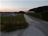
Drive into the centre of Slovenska Bistrica, from where you can follow the road towards Zgornja Bistrica and Bistriški Vintgar. Follow the signs for Bistriški Vintgar and park in the parking lot next to the Vintgar Centre.
Path description:
From the parking lot at Centrum Vintgar, return to the road and continue in the direction of Bistriški Vintgar. Walk along the road, or pavement, for a short distance, then the path to Trem kralji (the path over Veliko Tinje) branches off to the left, and we continue along the pavement. The pavement ends and we continue along the road to the next parking area, where there are red mountain direction signs (20 minutes to get here).
Continue along the wider path leading to Bistriški vintgar, and at the point where you leave the road there are signs for Rimski kamnolom and Šmartno na Pohorju.
The path continues to climb gently, and when you cross the little bridge on the right bank of the Bistrica, the path gradually becomes a little steeper.
Before the path turns slightly to the left and passes onto a slope, we see the Rimski kamnolom on the right, and we then cross-climb up the gradually steeper slope. At this point, a path branches off slightly to the right, leading to the Šum waterfall (the path to the waterfall is about 5 minutes long and is dangerous to slip on, especially in wet conditions), and we continue along the path, which climbs steeply up the slope (there is a greater risk of falling rocks on this part, especially in spring and during and after rainfall). When the slope becomes slightly less steep, we are joined on the right by a difficult path leading past the Šum waterfall, and a little further on we arrive at a marked crossroads, where we continue to the right in the direction of St. Three Kings and Močnik (straight Ančnikovo gradišče).
The way forward leads over two small bridges, and after the second one we return to the left bank of the Bistrica, where the path leads us through lane raspberry and blackberry trees. In the steeper parts of the path, there are steps, and in most of the more dangerous places there is a wooden fence. Further on, the path climbs alongside waterfalls and rapids, and is slightly elevated from the stream bed, so that the gorge can be observed from a distance, only occasionally getting quite close to the Bistrica. Higher up, there is a bit of a descent, and at the crossroads you continue straight on towards St. Three Kings. There is some more ascent, then the path and the gorge lay down and in a slight ascent we reach an information board located near Marolt fir tree, which slowly disappears on the other bank of the stream.
At Marolt fir tree there is a small crossroads, where a slightly shorter trail to St. Urh branches off to the left, but it is rather poorly marked, so continue straight ahead, where you quickly leave the forest and then walk along the edge of the forest to the macadam road, where you go left in the direction of St. Treh kraljev (right Šmartno na Pohorju).
Just a little further on, the road splits and we continue slightly left (right St. Three Kings), initially continuing through the forest, and later climbing slightly steeper. Higher up, we leave the forest and pass the farms on the right. Once back in the forest, the road splits again and we continue right towards the farmstead of Cehej (Cahej on maps) (straight ahead St Urha Church 1 minute).
Some 10 m further on the road leaves the forest and we go right on the unmarked cart track which continues through the forest. The way ahead leads us along the mostly folded cart track, which has a few forks, but where we follow a wider path, which mainly leads us along the unmarked east to south-east ridge of Repnik Peak. Higher up, the path becomes completely flat and leads us to the undistinguished highest point of Repnik's Peak.
Starting point - Marolt fir tree 1:45, Marolt fir tree - St. Urh 1:00, St. Urh - Repnikov vrh 0:30. .
Description and figures refer to the situation in January and July 2022.

Pictures:
 1
1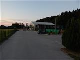 2
2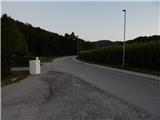 3
3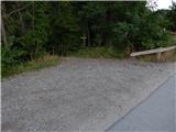 4
4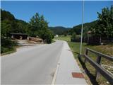 5
5 6
6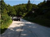 7
7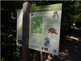 8
8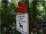 9
9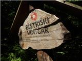 10
10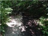 11
11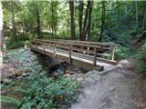 12
12 13
13 14
14 15
15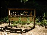 16
16 17
17 18
18 19
19 20
20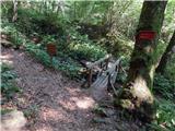 21
21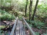 22
22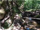 23
23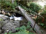 24
24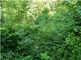 25
25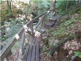 26
26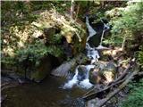 27
27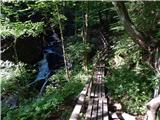 28
28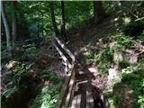 29
29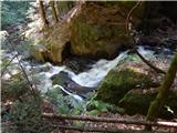 30
30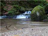 31
31 32
32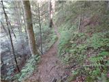 33
33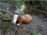 34
34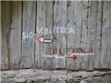 35
35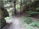 36
36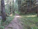 37
37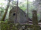 38
38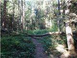 39
39 40
40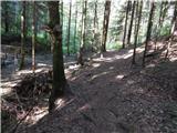 41
41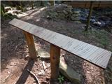 42
42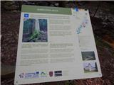 43
43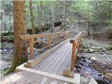 44
44 45
45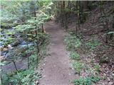 46
46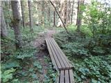 47
47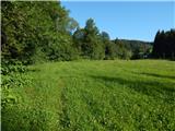 48
48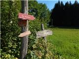 49
49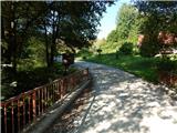 50
50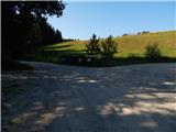 51
51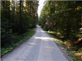 52
52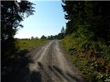 53
53 54
54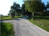 55
55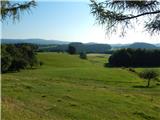 56
56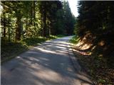 57
57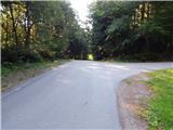 58
58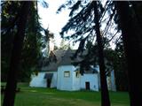 59
59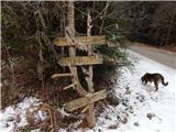 60
60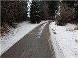 61
61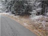 62
62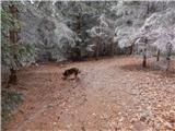 63
63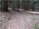 64
64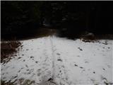 65
65 66
66
Discussion about the trail Zgornja Bistrica (Center Vintgar) - Repnikov vrh (via Bistriški vintgar)