Zgornje Izlake - Zabreznik (Sv. Miklavž) (via Zgornje Izlake)
Starting point: Zgornje Izlake (310 m)
Name of path: via Zgornje Izlake
Time of walking: 45 min
Difficulty: easy unmarked way
Altitude difference: 334 m
Altitude difference po putu: 500 m
Map:
Recommended equipment (summer):
Recommended equipment (winter):
Views: 2.707
 | 2 people like this post |
Access to the starting point:
a) From the route of Ljubljana or Maribor, take the exit Trojane, Izlake, Zagorje, Trbovlje on the motorway and follow the road down the Trojane hill to the settlement of Izlake, where at the first marked intersection (at the Tuš market Ajda) turn left and follow the road for about 200 m to the intersection where the road turns right towards the cemetery. Follow this road up, past the church and to a large sandy parking area by the cemetery, where you leave your car.
b) From the route of Zagorje: When you arrive in the village of Izlake, drive past the Petrol petrol station, the ETI factory and the primary school, turn right at the next junction and follow the road for about 200 m to the junction where the road turns right towards the cemetery. Follow this road up, past the church and to a large sandy parking area by the cemetery, where you leave your car.
Path description:
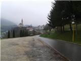
From the parking lot, continue along the asphalted road, which you will soon leave after 200 metres. The path leads past a cluster of houses and a bee farm, to a cluster of houses where you turn left off the road, across a meadow onto a forest path. Follow this right past a bench and walk up the forest road until it is laid. At this point the road makes a sharp turn to the left and we leave it and head straight ahead along a less visible track towards a rock which we have for orientation. Here we again come across a forest track - a canal, which we follow up to the left to a level area. A path to the left leads back towards Izlaki, and we continue up to the right. After a few minutes of walking, we reach the so-called Špičnik (529 m), over which we descend for a few metres. We reach a bench where we join the path to Zabreznik via Loke. Follow the path straight up past the rocks, where it climbs steeply. After a few minutes of walking, the path leads us to the top of the ridge, along which we walk past the bivouac, which is hidden from view on the right-hand side, all the way to the clearing at the top of Zabreznik. The view of the Čemšeniška mountain pasture in fine weather is really magnificent here. On the other side of the glade, the path also leads to the Church of St Nicholas.
You can extend the trip to Gamberk Castle or even to Čemšeniška mountain pasture.

Pictures:
 1
1 2
2 3
3 4
4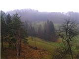 5
5 6
6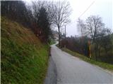 7
7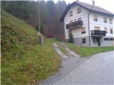 8
8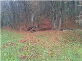 9
9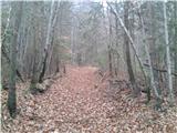 10
10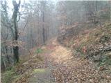 11
11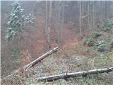 12
12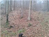 13
13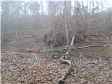 14
14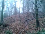 15
15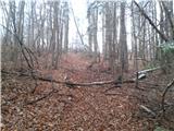 16
16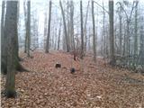 17
17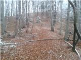 18
18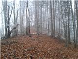 19
19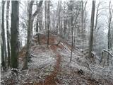 20
20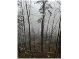 21
21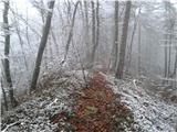 22
22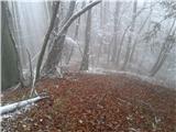 23
23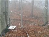 24
24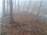 25
25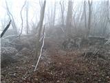 26
26 27
27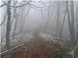 28
28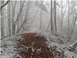 29
29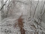 30
30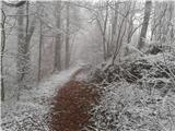 31
31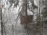 32
32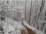 33
33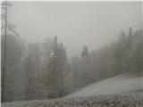 34
34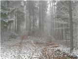 35
35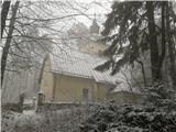 36
36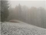 37
37
Discussion about the trail Zgornje Izlake - Zabreznik (Sv. Miklavž) (via Zgornje Izlake)