Starting point: Rateče (Ledine) (853 m)
| Lat/Lon: | 46,49137°N 13,72205°E |
| |
Time of walking: 2 h 50 min
Difficulty: easy unmarked way
Altitude difference: 907 m
Altitude difference po putu: 920 m
Map: Kranjska Gora 1:30.000
Recommended equipment (summer):
Recommended equipment (winter): ice axe, crampons
Views: 1.548
 | 1 person likes this post |
Access to the starting point:
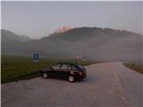
a) First drive to Kranjska Gora, then continue driving to Ratečeam. When you reach the roundabout near Rateč, take the exit towards Planica. After a short downhill, turn right and park in the marked parking area.
b) Take the Border crossing Rateče into Slovenia, then turn right towards Planica. After a short downhill, turn right and park in the marked parking lot.
Path description:
From the parking lot, continue along the edge of the cycle path and walk towards Itali. After about 10 minutes, the road from Rateče joins us from the right, and we continue left onto a narrow dirt road, which soon turns into a forest and starts to climb steeply. This road, which mostly continues through the forest, is then followed all the way to Planinsko zavetišče Slatna, which is seen to the left of the road.
From the shelter, continue along the road, which becomes even steeper and gradually passes onto the Drnice ridge. At a few small crossroads, continue along the wider road, and a little later, when the path by the ski jumps joins from the left, you will quickly reach the place where the road starts to descend towards the torrential bed of the Beli potok (White Stream).
At this point there is a small crossroads from which you continue slightly right on the cart track, which climbs parallel to the torrential rapids of the White Brook. At a nearby crossroads, go straight ahead, and when cart track ends, go left onto a beaten track, along which there is a small cairn, and a red arrow on a tree. There is a cross-climb to the left, where you cross several torrents, including the main channel of the White Brook. Once the path is laid, there are a few more crossings, and then we join the hunting trail, which starts a little further on from the ski jumps in Planica.
Here you continue to the right and initially cross a few more ravines, but then, along the ravine descending from Glav, you begin to climb steeply in a series of switchbacks. Higher up, you reach a small cirque, where the trail transitions, and after a few 10 steps it turns left and climbs to the next crossroads, from which you continue to the left (to the right Vratica, Belopeška jezera and Mala Ponca).
There is a little bit of a switchback walk, then the path completely lays down and turns slightly to the right. At this point, leave the Planica - Pokljuka trail and continue left on a fainter path that begins to climb towards the top of Glav (Ovčja strana on some maps). Follow this deteriorating track to the summit, a few minutes away, which offers a beautiful view.
Starting point - shelter Slatna 0:40, shelter Slatna - Glave 2:10.
Description and figures refer to the situation in 2019 (September).

Pictures:
 1
1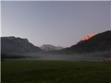 2
2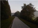 3
3 4
4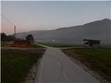 5
5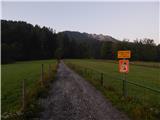 6
6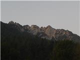 7
7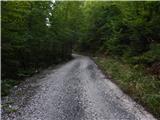 8
8 9
9 10
10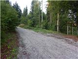 11
11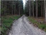 12
12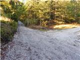 13
13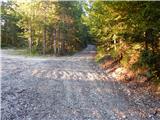 14
14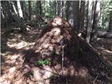 15
15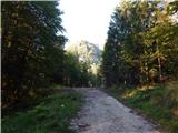 16
16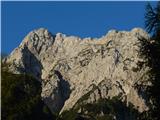 17
17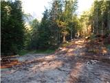 18
18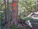 19
19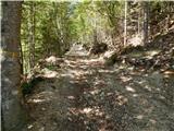 20
20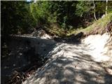 21
21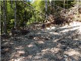 22
22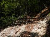 23
23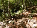 24
24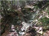 25
25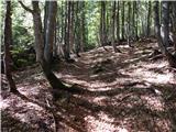 26
26 27
27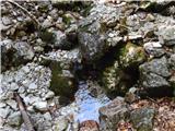 28
28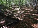 29
29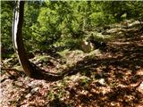 30
30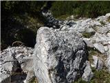 31
31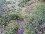 32
32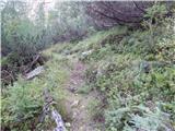 33
33 34
34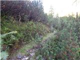 35
35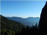 36
36 37
37 38
38 39
39 40
40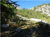 41
41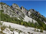 42
42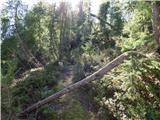 43
43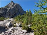 44
44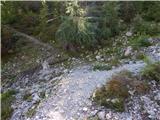 45
45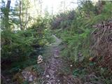 46
46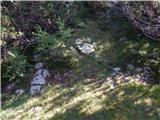 47
47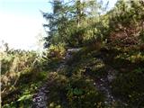 48
48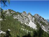 49
49 50
50 51
51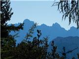 52
52 53
53
Discussion about the trail Rateče (Ledine) - Glave
|
| rokeg11. 04. 2020 |
Opisana pot je označena z zahtevno neoznačeno stezo. Po mojem mnenju je napaka, ker na tej poti ni nobenega zahtevnega dela. Pa tudi drugi opis iz NC Planica je označena z zahtevnostjo lahka neoznačena steza. Nekoliko bolj zahtevno je na bližnjo Malo Ponco.
|
|
|
|
| Tadej11. 04. 2020 |
Hvala za opozorilo. Sem popravil.
|
|
|