Starting point: Nemesgulacs (128 m)
Time of walking: 1 h
Difficulty: easy marked way
Altitude difference: 265 m
Altitude difference po putu: 265 m
Map:
Recommended equipment (summer):
Recommended equipment (winter):
Views: 1.695
 | 1 person likes this post |
Access to the starting point:
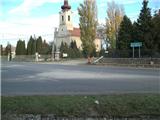
From the Pomurje motorway, take the Dolga Vas exit and then continue to Hungary. The route ahead takes you through Redics, then follow signs for Zalaegerszeg, and from there towards Lake Balaton, Heviz and Keszthely. When you reach Keszthely, turn onto the bypass and follow the signs for Balatonfuered (there are roundabouts along the bypass). At the end of Keszthely, when the road to Sopron turns off, we continue east, but only for 2 km, and then turn right towards the village of Badacsonytoerdemic. Continue through the village (the road is cobbled in the middle of the village) and you reach Nemesgulacs. In the village you reach a crossroads where there is a church with a cemetery. Park in the parking lot next to the church or the cemetery.
The route Lendava - Pince - Tornyszentmiklos - Nagykanizsa - Balatonszentgyörgy - Nemesgulacs is slightly shorter, but it is much more difficult in terms of orientation.
Path description:
From the church and the cemetery, we continue eastwards along the easy orientation path, as we can already see our destination ahead of us. At the equestrian club, continue left on the less trodden cart track, which begins to climb slightly. When we reach the spring, cart track turns into a track, and we walk along it for a few minutes before joining cart track, which leads towards the abandoned quarry. Walk briefly along cart track, then turn left into the woods onto a narrower and initially still winding path. The path then becomes steeper and climbs up the north-east slope. Higher up, the path changes to the eastern slope, where it joins the path from Badacsonytomaj village.
Continue straight ahead and climb further and further to the right. Higher up, the path leads over basalt scree, beyond which you gradually reach the south side of the summit. Further on, the markings are less frequent, but as there are no more crossroads there are no problems with orientation. The way ahead takes us from the south to the west, and higher up to the north slope. There is a short steep climb and the path leads to the summit of Gulacs, which offers a view of the Szentgyörgyhegy volcano and the Keszthely hills in the background.

Pictures:
 1
1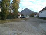 2
2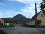 3
3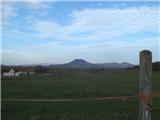 4
4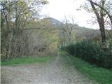 5
5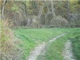 6
6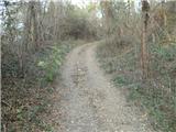 7
7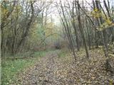 8
8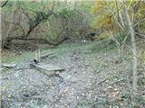 9
9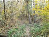 10
10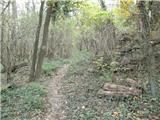 11
11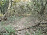 12
12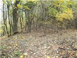 13
13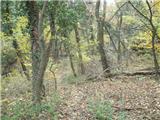 14
14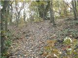 15
15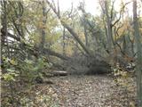 16
16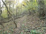 17
17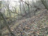 18
18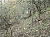 19
19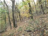 20
20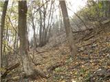 21
21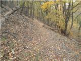 22
22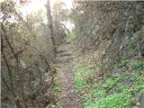 23
23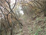 24
24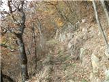 25
25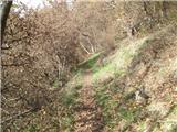 26
26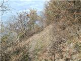 27
27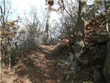 28
28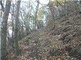 29
29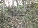 30
30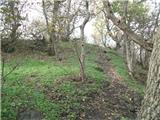 31
31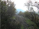 32
32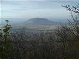 33
33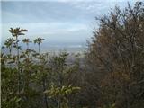 34
34
Discussion about the trail Nemesgulacs - Gulacs