Cerkno - Porezen (gentle path)
Starting point: Cerkno (325 m)
| Lat/Lon: | 46,1308°N 13,9873°E |
| |
Name of path: gentle path
Time of walking: 4 h
Difficulty: easy unmarked way, easy marked way
Altitude difference: 1305 m
Altitude difference po putu: 1305 m
Map: Škofjeloško in Cerkljansko hribovje 1:50.000
Recommended equipment (summer):
Recommended equipment (winter): ice axe, crampons
Views: 6.676
 | 1 person likes this post |
Access to the starting point:
a) From the regional road Idrija - Tolmin, at the village of Straža in the hamlet of Želin, turn right at the semaphore-controlled intersection in the route Cerkno (turn left if coming from the route Tolmin). Continue along the valley of the river Cerkno, past the Petrol station until you reach Cerkno, where at the crossroads behind the Church of St. Jernej (there is also a cemetery and a parking lot next to the church), turn left in the direction of Železniki, the ski resort Cerkno, the Franja Hospital and the centre of Cerkno. At the next marked crossroads, turn left towards Zakojca and Gorje. If you have not parked at the church before, you can park a little further away from the NOB monument in one of the car parks in Cerkno.
b) From the road Škofja Loka - Žiri, after the settlement Trebija turn right in the direction of Sovodnja and Cerkno (from the direction of Žiri turn left before Trebija), from where you first go to Sovodenj, and from there over the pass Kladje (the pass is located in the settlement Podlanišče) start descending towards Cerkno. At the first major crossroads in Cerkno, go straight on (right to reach the point centre and St Anne's Church), and then at the second crossroads, about 300 m further on, turn right in the direction of Železniki, the Cerkno ski resort, Franja Hospital and the centre of Cerkno. Cerkno is the first major crossroads in Cerkno, and the first crossroads in Cerkno is the first crossroads in Cerkno. At the next marked crossroads, turn left towards Zakojca and Gorje and then park in one of the car parks in Cerkno.
c) From the road Škofja Loka - Podbrdo, at Zali Log, turn left in the direction of Davča and the ski resort Cerkno (if coming from Podbrdo or Soriška planina, turn right at the end of the resort). The road continues up to Davča and then starts descending towards Cerkno. In the centre of Cerkno, turn right at the post office, then park in a suitable place a little after the NOB monument.
Path description:
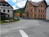
From the starting point, continue along the asphalt road, which continues along the Zapoška stream and initially leads us past the ETA E. G. O. factory. The rather gently sloping road then continues past several houses, and then leads us to a small crossroads, where we continue to the right across the bridge (straight Okrepčevalnica pr Padkejc). After the bridge, the road starts to climb more visibly, and then quickly takes us to the settlement Trebenče, where we stick to the main road. At the end of the settlement, the road passes a larger cliff on the left, at the top of which is the Church of St. Jost. From here, you continue along the main road for a few minutes, and then you reach a picnic area, next to which there is a grassy sports field (volleyball, small football, playground, trampoline, etc. ).
Just by the log cabin, a narrow macadam road (straight ahead Poče, Gorje, Jesenica. . . ) branches off to the right and you continue climbing. The road soon turns into the forest, where it makes a long left turn. At the bend, a path branches off to the right towards the church of St. Josht, which is a good 5-minute walk away, and we continue along the asphalt road, which leads us past a transformer to a small crossroads near two houses.
The asphalt road continues to the right towards the house, and we continue straight ahead on the worse macadam road. At the first crossroads, a few 10 m further on, we continue left, then partly through the woods and partly across meadows we arrive at the asphalt road, which we reach at the NOB monument and the firemen's home.
From the fire station, where there is also a turning point for buses, follow the ascending road through the village Poče. In the middle of the village, you will see the first markings and, a few steps further on, the first mountain direction signs.
From the centre of Poč continue left towards Porezno (right Porezen over Labinjske lehe), where you first pass a few houses, then the asphalt ends and we continue on the dirt road. A little further on, the road approaches another house, and before the house (the trail branch is by the goat house) we continue left on the trail, which climbs through hay fields to a forest road a few minutes away. When you reach the road, follow it to the left, and we walk along it in the direction of Porezno. Occasionally we get a view of the Cerkljansko hills, and then we reach a small crossroads, from where we continue straight ahead on a footpath that continues between the two roads. After a short climb, we return to the right-hand side of the road, which is increasingly similar to cart track (widening of cart track 2014). The way ahead leads us past a small waterfall, and then we arrive at a partially marked crossroads, where the signs for Porezen direct us sharp right. Continue straight on here (sharp right Porezen - steep path) and continue along the relatively wide cart track, which climbs crosswise over occasionally steeper slopes. Cart track ends a little further on, and the path turns into a footpath behind an older, partly stone byte, which climbs crosswise over the gorge of the Zapoška brook. During the ascent, you can also see signs indicating that you are walking along the Slovenian Geological Trail. A little further on, the path turns slightly to the right and ascends crosswise over a steep and, especially in the wet, dangerously slippery slope. The trail then crosses a few more ravines, including one that leads us past a wall on the path to the drinking water. There follows a slightly awkward crossing of a grassy gully, as erosion has carried away the grass or a short part of the path, so that some care is needed when crossing, but otherwise the crossing is not too difficult, as it is not an extremely steep slope. A little further on, the path turns right and once again, this time without any particularities, crosses the now widened gutter. The path, marked but somewhat more difficult to follow because of the high grass, then climbs quite steeply in a few switchbacks towards the Porezna ridge. During the ascent, the trail leads past a small spring and then soon reaches the ridge, where it joins the steep trail from Cerkno and Poč, as well as some other trails leading to the summit.
When you reach the ridge, which is still not distinct at first, continue left and after a few 10 steps you will reach a small crossroads where the path splits into two parts. The more beaten path is the "steep path", which continues along the ridge, and we continue to the right in the direction of Davča and after a minute of further walking we get on the road leading to Dom na Poreznu (here there is no longer an officially separated steep and level path from Poć, but if we have chosen the level path we can also continue along the "level path" (otherwise, if we continue along the ridge, we will first reach the top of Porezno and from there to the house)).
Once on the road, the trail leads through lane of a forest, and then gradually we arrive at the open slopes, from which we have a beautiful view towards Blegoš, Kamnik Savinja Alps and the Karavanke Mountains. A few minutes higher, when we reach the north-east ridge of Porezno, we are joined on the right by the marked path from Petrovy Brdo. Here, continue left and, with a view of Julian Alps, especially the ridge of the Lower Bohinj Mountains, reach the Doma na Porezen (Home on Porezen) in a few 10 steps of further walking. Behind the lodge, we see signs for the summit of Porezna, which direct us to the ascending path, which takes a few minutes to climb cross-country to the 1630 m high summit, from which we have a beautiful view.
Cerkno - Poče 1:15, Poče - Dom na Poreznu 2:40, Dom na Poreznu - Porezen 5 minutes.

Pictures:
 1
1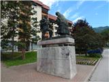 2
2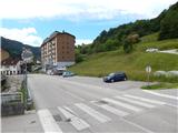 3
3 4
4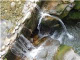 5
5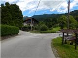 6
6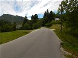 7
7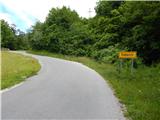 8
8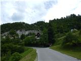 9
9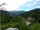 10
10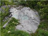 11
11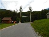 12
12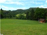 13
13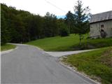 14
14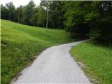 15
15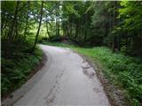 16
16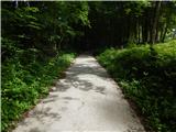 17
17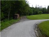 18
18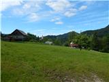 19
19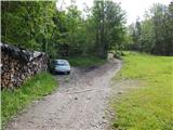 20
20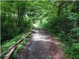 21
21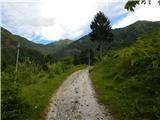 22
22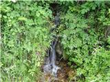 23
23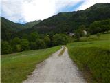 24
24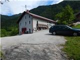 25
25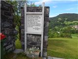 26
26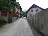 27
27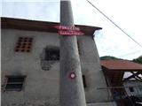 28
28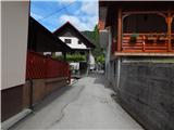 29
29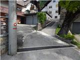 30
30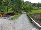 31
31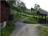 32
32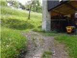 33
33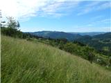 34
34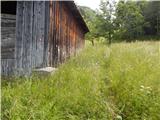 35
35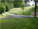 36
36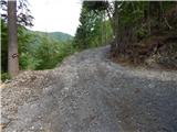 37
37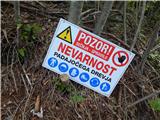 38
38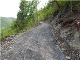 39
39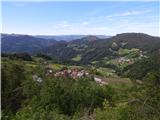 40
40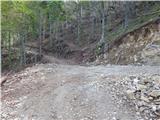 41
41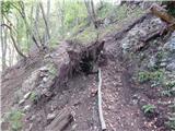 42
42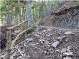 43
43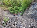 44
44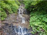 45
45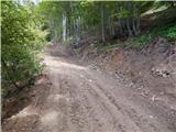 46
46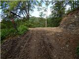 47
47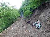 48
48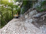 49
49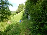 50
50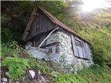 51
51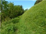 52
52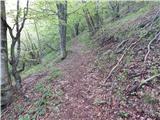 53
53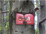 54
54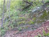 55
55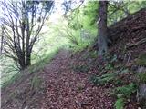 56
56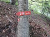 57
57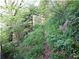 58
58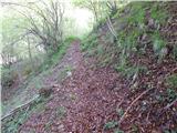 59
59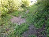 60
60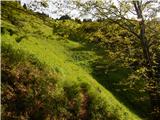 61
61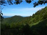 62
62 63
63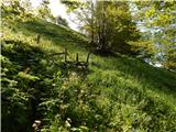 64
64 65
65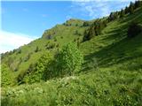 66
66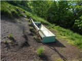 67
67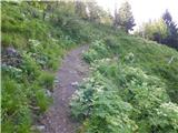 68
68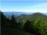 69
69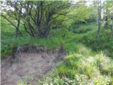 70
70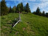 71
71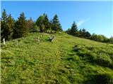 72
72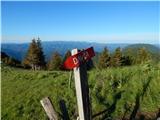 73
73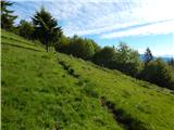 74
74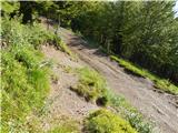 75
75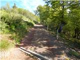 76
76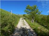 77
77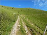 78
78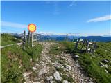 79
79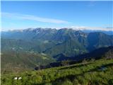 80
80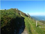 81
81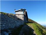 82
82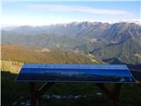 83
83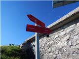 84
84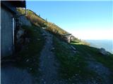 85
85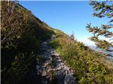 86
86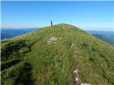 87
87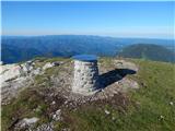 88
88 89
89
Discussion about the trail Cerkno - Porezen (gentle path)