Starting point: Podgrad (283 m)
| Lat/Lon: | 46,06642°N 14,63698°E |
| |
Time of walking: 40 min
Difficulty: easy unmarked way
Altitude difference: 160 m
Altitude difference po putu: 180 m
Map: Ljubljana - okolica 1:50.000
Recommended equipment (summer):
Recommended equipment (winter):
Views: 336
 | 3 people like this post |
Access to the starting point:
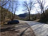
From the Ljubljana Eastern Bypass, take the Ljubljana - East exit and continue along Zaloška Road towards Zaloga. Continue along the main road towards Podhrad. In Podgrad, turn right through the underpass under the railway line and then continue along a relatively narrow road towards Besnica and Janče. Just before the end of Podgrad, park in the parking lot on the left side of the road. If the parking lot is busy, you can turn right at this point onto cart track by the information board and cross the stream over the wooden bridge. There is then some space for parking.
Path description:
From the parking lot, first cross the main road and, passing an information board describing the Ostrovrharje trail, take the cart track and cross the Besnica brook over a wooden bridge. Cart track turns left and leads to a crossroads.
The Ostrovrharje path leads sharp right along the cart track or macadam road, and there is a signpost alongside it; a shortcut branching off slightly to the right joins the Ostrovrharje path at a higher level, and we continue straight ahead along the cart track road on the slope. The cart track then leads us to a grassy clearing where we will also see a hunting observation post. We continue along the cart track, which, due to the frequent mud, can also be avoided at this point by following the path that runs along the edge of the clearing. Beyond the clearing, the path leads to a crossroads.
Straight ahead, the cart track leads to the old Osterberg Castle, and we continue left onto a narrower path, where we are also directed by a signpost for the Ostrovrharjeva cesta. From the crossroads, the path first descends slightly and then crosses the brook Besnica via a wooden bridge. Here we are at the crossroads again. To the right of the brook, the path follows the valley of brook Besnica and onwards towards the millstone quarry, while we follow the signs for the Ostrovrharjeva cesta and cross the asphalt road.
Here we start to climb a little steeper and the path soon leads us to a crossroads. Continue to the right, then cross the road and climb south-eastwards. The path here passes through the forest, but occasionally through the trees we still get some views of the surrounding hills above the valley of the Besnica stream. This path then leads us to a crossroads where we first turn left onto the ridge along which cart track runs.
On the ridge then continue left along cart track where we are also directed by the Ostrovrharjeva cesta marker. To the right, the path leads to Grmadnik and on to Janč. The path starts to descend slightly here and through the trees we also get some views of the eastern side of the ridge. Continue along the wide path along the ridge and you will soon come to benches and an information board describing the attractions of the Ostrovrharjeva cesta. Just past the information board, we come to a crossroads where we have to be a bit more careful to choose the right route. At the crossroads, leave the Ostrovrharjevo trail and turn left, but not on the cart track but on the narrow path that runs further along the ridge. Cart track leads to a power line where there is also a nice viewpoint with a bench. We then continue along a narrow path that climbs through the forest and continues along a wooded ridge. We then follow this path all the way to the top, which does not offer much of a view due to the forest.

Pictures:
 1
1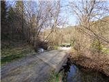 2
2 3
3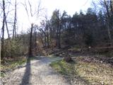 4
4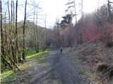 5
5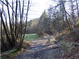 6
6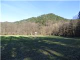 7
7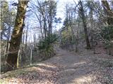 8
8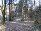 9
9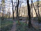 10
10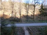 11
11 12
12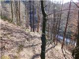 13
13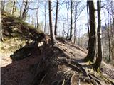 14
14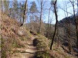 15
15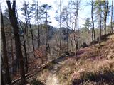 16
16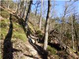 17
17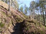 18
18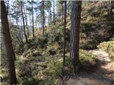 19
19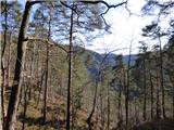 20
20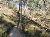 21
21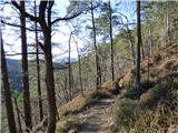 22
22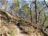 23
23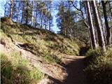 24
24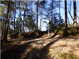 25
25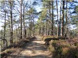 26
26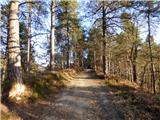 27
27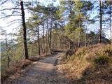 28
28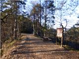 29
29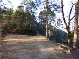 30
30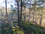 31
31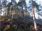 32
32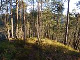 33
33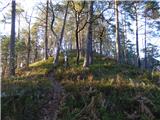 34
34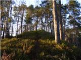 35
35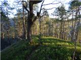 36
36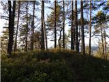 37
37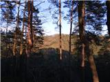 38
38 39
39
Discussion about the trail Podgrad - Murjevka