Starting point: Tržič (515 m)
| Lat/Lon: | 46,3683°N 14,3078°E |
| |
Time of walking: 3 h 15 min
Difficulty: easy marked way
Altitude difference: 1120 m
Altitude difference po putu: 1150 m
Map: Karavanke - osrednji del 1:50.000
Recommended equipment (summer):
Recommended equipment (winter): ice axe, crampons
Views: 5.505
 | 1 person likes this post |
Access to the starting point:
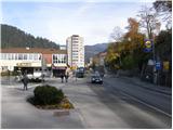
From the motorway Ljubljana - Jesenice take the exit Ljubelj (Tržič), then turn right downhill before the petrol station in Bistrica pri Tržiču, where you will quickly reach Tržič. At the junction behind the Mercator shop, turn left towards the Tržič Museum, and we continue along Koroška Road, which we follow through the centre of the town to house number 48. Here, at a small crossroads, turn left onto the Pilarno Trail, and the road begins to descend from here towards the Mošenik Stream. When you reach the stream, cross the bridge and park in a suitable space (as most of the parking spaces are reserved for residents, you may have some difficulty finding a suitable space).
Path description:
From the place where we crossed the bridge we continue along the Tržiška Bistrica for about 100 m, and then, when we see a small dam on the river, we continue sharp left on the ascending road, which we follow to the mountain signs for Dobrčo. Continue in the direction of Dobrča and follow the road which crosses the main road leading to Ljubelj via a bridge. The road continues parallel to the main road for a short distance, then turns left and climbs moderately to a small hamlet. Just before the last house, signs point us slightly left on a footpath, which soon turns right and climbs crosswise along the edge of the forest. The path then passes into a dense forest, where it crosses a short steeper slope. After a short climb, you come to a larger clearing, at the edge of which stands a lonely hut. Turn right here and continue climbing along the forest path, which crosses a forest road at a higher level. The path ahead begins to climb steeply, then it transitively lays and leads us to a steep cart track, after which we continue the climb. Higher up the path opens up some views of Košuta, Storžič and Kriško mountain, and we continue to follow the marked cart track, which soon leads us to the hunting huts, where we also get on the road.
The marked path bypasses the hunting lodge some 10 m to the left, but we walk along the road for only a short time, as the markings then direct us slightly left on the path, which begins to climb moderately through the forest. The path climbs steeply for a short time, then gently descends and continues in a cross-climb over slopes that are sometimes partially overloked. Higher up, the path first flattens out and then descends to a forest road, which is followed to the right. A few minutes' walk along the above-mentioned road, then out of the wods, where you come out onto the vast Bistriška mountain pasture.
On the left side of mountain pasture we enter a wider road, and we follow it in the direction of Dobrča and Lešanská mountain pasture. The road continues to climb moderately through the forest, and then leads to Breška planina, where the hunting lodge stands.
Continue along the road which returns to the forest, which gradually starts to climb steeper. Higher up we come to a marked crossroads where the marked footpath from Brezij pri Tržiču joins us on the left, and we continue sharp right along the gradually steeper cart track. This is followed by about 20 minutes of walking on the above-mentioned cart track, and then the path leads us out of the forest to the lower part of Lešanská mountain pasture. Continue along mountain pasture upwards, where you quickly reach an unmarked crossroads. Continue right (shepherd's hut on the left at Lešanska planina for 50 metres and the possibility to continue towards Koča na Dobrči and Dobrča) and continue the folded ascent along the edge of mountain pasture. After a few minutes of further walking, or more precisely a few metres after the hunting observation post, continue left, where you follow a clearly visible path steeply up to the top edge of mountain pasture, where you regain the cart track, which you left at the hunting observation post. Follow Cart track to the left and cross it to the marked path leading from the Hut on Dobrča to the summit of Dobrča. Here continue sharp right and after 5 minutes of further walking you will reach the summit.
From Dobrča continue in the direction of Šentanski vrh along the path which first descends into a small valley between the two peaks, then climbs moderately and after some 10 steps of further walking leads us to Šentanski vrh.

Pictures:
 1
1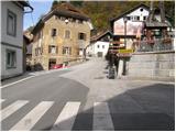 2
2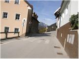 3
3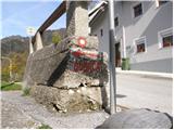 4
4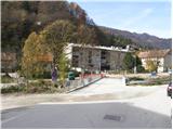 5
5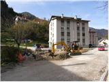 6
6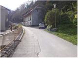 7
7 8
8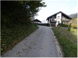 9
9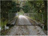 10
10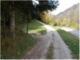 11
11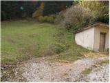 12
12 13
13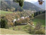 14
14 15
15 16
16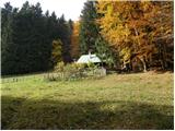 17
17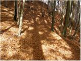 18
18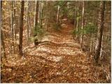 19
19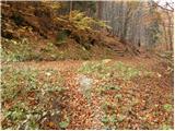 20
20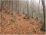 21
21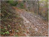 22
22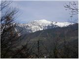 23
23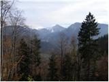 24
24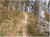 25
25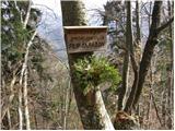 26
26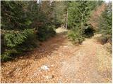 27
27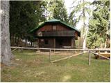 28
28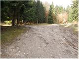 29
29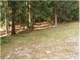 30
30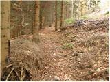 31
31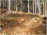 32
32 33
33 34
34 35
35 36
36 37
37 38
38 39
39 40
40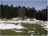 41
41 42
42 43
43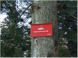 44
44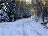 45
45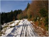 46
46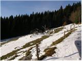 47
47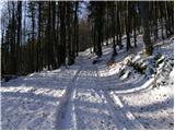 48
48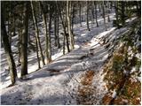 49
49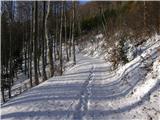 50
50 51
51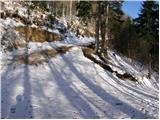 52
52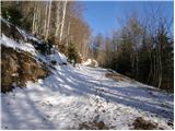 53
53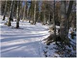 54
54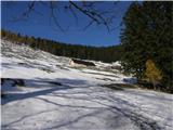 55
55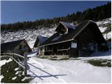 56
56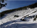 57
57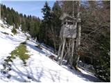 58
58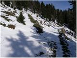 59
59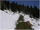 60
60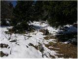 61
61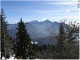 62
62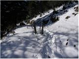 63
63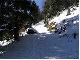 64
64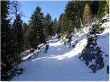 65
65 66
66 67
67 68
68 69
69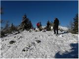 70
70 71
71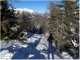 72
72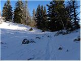 73
73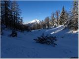 74
74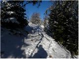 75
75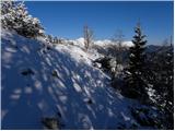 76
76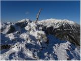 77
77 78
78
Discussion about the trail Tržič - Šentanski vrh