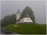
Starting point: Smrečje (708 m)
| Latitude/Longitude: | 46,0134°N 14,194°E |
| |
Walking time: 1 h 30 min
Difficulty: easy unmarked way
Elevation gain: 254 m
Elevation difference along the route: 370 m
Map: Škofjeloško in Cerkljansko hribovje 1:50.000
Recommended equipment (summer):
Recommended equipment (winter):
Views: 13.255
 | 1 person like this post |
Access to starting point:
We drive to Smrečje above Vrhnika (from Vrhnika through the Podlipska valley or from Horjul over Šentjošt), where we park in a suitable spot near the church. We park in such a way as not to hinder the bus, which has a bus stop nearby.
Route description:
From the church, we continue on the asphalt road in the direction of Vrh sv. Treh kraljev and Lavrovec. After a few minutes, we get to a smaller saddle, where signs for Lavrovec point us sharply right on a macadam road, on which we continue a gentle ascent. A little further, the road changes into a cart track; we walk on it only for a short time because then the blazes point us left on a footpath, which further moderately ascends through the forest. After a short ascent, we step out of the forest, where after a few additional steps we step onto the road. When we step on the road, we notice signs for the stamp - left (the stamp is located in the residential house of the nearby farm), but we continue on the macadam road, which we then follow for a few minutes. Higher up, the blazes point us right on a footpath, which then ascends through a belt of dense forest. The path ahead quickly brings us out of the forest, where we then ascend over a grassy slope to the nearby homestead. Behind the homestead, we again step on the macadam road, which we then follow all the way to the peak of Lavrovca.
From the top, we return a few steps back, then we continue the path in the direction of Goli Vrh. The path ahead starts to descend along the edge of grassy hay meadows, then brings us to a macadam road, which we follow to the right. Soon we come to a smaller crossroads, where we continue straight ahead and further continue the path on the macadam road, which moderately descends. A little further, we join an asphalt road, on which we slightly ascend to the nearby hamlet. The road further ascends among some houses, then brings us to a smaller saddle, by which a chapel is located.
At the chapel, by which there is a crossroads of several roads, we leave the blazes and continue the ascent on the road in the direction of Goli Vrh. The partly asphalted road quickly brings us into the village of Goli Vrh, where we continue along it to the spot where signs for Štrajtova grapa and Račevo direct us left. We continue the ascent on a somewhat steeper road, which quickly brings us to a smaller hamlet. We follow the road a little further, then, when it brings us to a panoramic ridge, we leave it and continue the ascent to the right on a gentle cart track, which first ascends over a grassy slope, then continues along the slopes of the forest. A little further, the path enters dense forest, through which we ascend to the indistinct peak.

Photos:
 1
1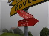 2
2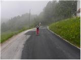 3
3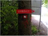 4
4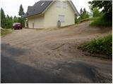 5
5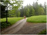 6
6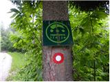 7
7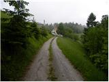 8
8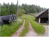 9
9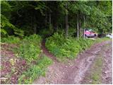 10
10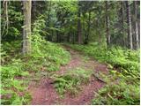 11
11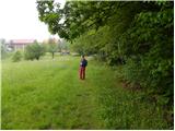 12
12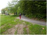 13
13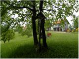 14
14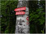 15
15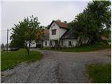 16
16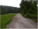 17
17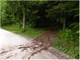 18
18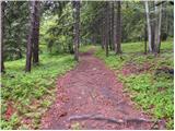 19
19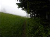 20
20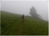 21
21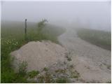 22
22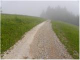 23
23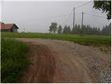 24
24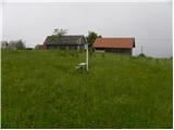 25
25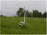 26
26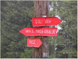 27
27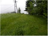 28
28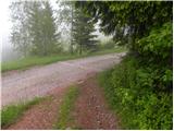 29
29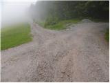 30
30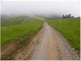 31
31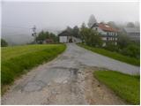 32
32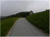 33
33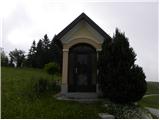 34
34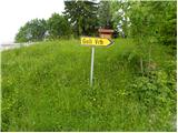 35
35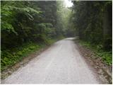 36
36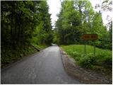 37
37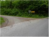 38
38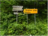 39
39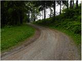 40
40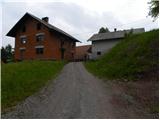 41
41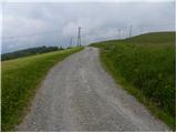 42
42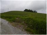 43
43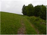 44
44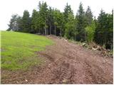 45
45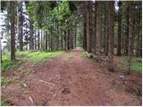 46
46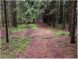 47
47 48
48
Discussion about the trip Smrečje - Goli vrh
|
| viharnik1. 06. 2010 |
When I was arguing with the difficult farmer on the clearing of Goli vrh with my bike, I then looked for the summit of Goli vrh in the forest. After checking around, I didn't find the prominent summit. It was just forest, so I continued straight ahead and to the left down the path to the macadam road at the upper farm.
|
|
|
|
| Mate071. 06. 2010 |
From the summit there is also a nice view of the Škofjeloško-Polhograjsko hribovje...
|
|
|
|
| SunnyDay8. 01. 2018 |
If I'm right, the signs in pictures 38 and 39 are no longer there, but the left branch is asphalted. It looks like this: THIS
You can also reach the top by continuing past this junction straight along the road to the entrance of the underground fortification of Rupnik Line, where the path to the top branches off, and return through the forest and meadow along the cart track past the farm in photo 41.
|
|
|
|
| saqartvelo5. 07. 2019 |
The path is even more beautiful if you start it already in Podlipa: a few years ago they renovated the old pilgrimage path through the forest from Podlipa to the church in Smrečje.
Near Goli vrh, there is also a beautiful thematic path called "Pot skozi Zalo", which leads through the places where Tavčar’s story "V Zali" takes place. The circular path is about 12 km long, along it there are a couple of wonderful viewpoints and old homesteads.
|
|
|
To post a comment you must log in:
If you do not yet have a username, you must first
register.