Planinarski dom Kalnik - Vranilac (Kalnik) (mala obhodnica okoli vrha Vranilac)
Starting point: Planinarski dom Kalnik (480 m)
Name of path: mala obhodnica okoli vrha Vranilac
Time of walking: 35 min
Difficulty: easy marked way
Altitude difference: 163 m
Altitude difference po putu: 163 m
Map:
Recommended equipment (summer):
Recommended equipment (winter):
Views: 1.962
 | 1 person likes this post |
Access to the starting point:
From the Zagreb - Varaždin motorway, take the Sveta Helena exit and follow the road towards Vrbovec. The motorway (only half-way in 2012, as it is still under construction) leads to Gradac, where you turn right towards Sveti Ivan Žabno, from where you continue towards Križevci. From Križevci onwards, orientation is easy, as the mountain lodge and the Old Castle of Veliki Kalnik can be seen from a distance. The mountain home can be reached without any major problems by car, which is left in a large parking lot near the home.
Path description:
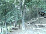
From the mountain lodge, head west and you will quickly reach the forest. At two successive crossroads, continue towards the summit of Vranilac. Walk through the forest for the first 5 minutes and then you will reach an asphalt road leading to the TV tower. Continue towards the tower (as you climb the road, the classic path to the top branches off to the right), but only as far as the fence of a nearby building, and then before the fence, continue down to the left. Continue along the fence for a short distance, and then enter the forest on a steep slope. A little further on, a very difficult climbing route branches off to the right, and we continue westwards on a path that climbs steeply. Once out of the forest, we reach the paragliding airstrip (unofficially called Second Start).
From here onwards there are steps up to the ridge.
From here, the path continues westwards towards the Zmijski vidikovac lookout point and onwards towards Mali Kalnik, while we continue eastwards along the ridge's rocky path, which leads us to Vranilac in 5 minutes of further walking.

Pictures:
 1
1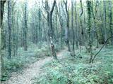 2
2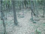 3
3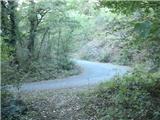 4
4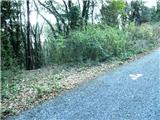 5
5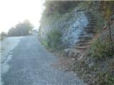 6
6 7
7 8
8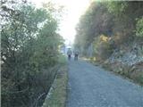 9
9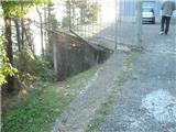 10
10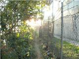 11
11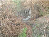 12
12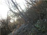 13
13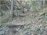 14
14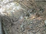 15
15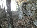 16
16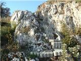 17
17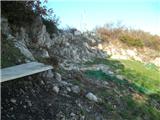 18
18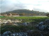 19
19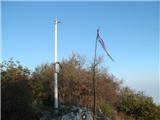 20
20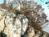 21
21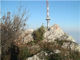 22
22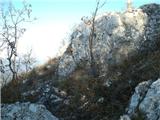 23
23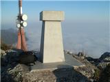 24
24
Discussion about the trail Planinarski dom Kalnik - Vranilac (Kalnik) (mala obhodnica okoli vrha Vranilac)