Badacsonytördemic - Badacsony (west path)
Starting point: Badacsonytördemic (110 m)
Name of path: west path
Time of walking: 45 min
Difficulty: easy marked way
Altitude difference: 328 m
Altitude difference po putu: 328 m
Map:
Recommended equipment (summer):
Recommended equipment (winter):
Views: 2.549
 | 1 person likes this post |
Access to the starting point:
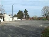
From the Pomurje motorway, take the Dolga Vas exit and then continue to Hungary. The route ahead takes you through Redics, then follow signs for Zalaegerszeg, and from there towards Lake Balaton, Heviz and Keszthely. When you reach Keszthely, turn onto the bypass and follow the signs for Balatonfuered (there are roundabouts along the bypass). At the end of Keszthely, when the road to Sopron turns off, we continue east, but only for 2 km, and then turn right towards Badacsonytördemic village. After crossing the railway line, take the first street on the left and park in the large parking lot next to the railway station.
The route Lendava - Pince - Tornyszentmiklos - Nagykanizsa - Balatonszentgyorgy exit - Badacsonytördemic is slightly shorter but much more difficult in terms of orientation.
Path description:
From the train station, take the one-way road going slightly uphill. Soon you will reach a crossroads, where you continue to the right, and then just a little further on, at the next crossroads, to the left. Continue along the road, which is at first steep and then steeper, as it continues along the western slope and between the vineyards.
The road continues through several junctions, which are well marked (at one of the junctions, a path marked blue circle branches off and then returns to our route). When the road is higher up, the asphalt ends and the view to the west and the ruins of Szigliget Castle opens up. Here we will leave the cart track and go up a staircase which will lead us to the inn.
From the inn, continue parallel to the path marked 'red trail' (follow the path marked 'blue line'). At a nearby crossroads, turn left and we follow the winding path for only about 50 metres before continuing up the steep stairs. There are four resting places as you climb the stairs, the first of which is called Ilona Zrinyi Resting Place, the second Lorantffy Zsuzsana, the third Csaky Krisztina and the fourth Czinka Panna. After climbing all the steps, we reach a crossroads where the path continues to the left to a nearby viewpoint, and we continue to the right, where we quickly reach a bench with a nice view of the valley. Further on, we reach the Cross of Ranold (Ranold was a bishop), with a few benches and a nice view. The path continues past the shelter, after which it gradually passes to the central part of the former volcano. A little further on, we arrive at the next crossroads, where the marked path turns slightly downhill (we can take a well-trodden shortcut, which leads us past another shelter back to the marked path), and then starts climbing again.
Continue on the path marked "blue line" and follow it up to the forested summit.
From the top, you can climb at your own risk to the lookout tower, from which you will have a view that reaches all the way to Donačka gora, Boč, Ivanščice, Ravna gora and Pohorje.

Pictures:
 1
1 2
2 3
3 4
4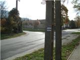 5
5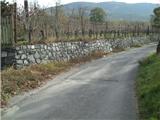 6
6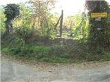 7
7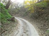 8
8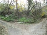 9
9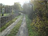 10
10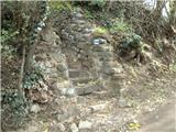 11
11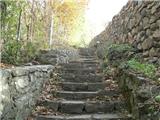 12
12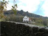 13
13 14
14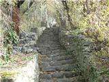 15
15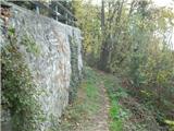 16
16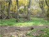 17
17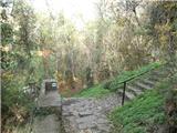 18
18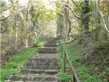 19
19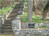 20
20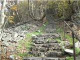 21
21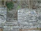 22
22 23
23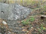 24
24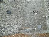 25
25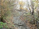 26
26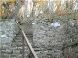 27
27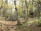 28
28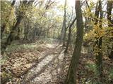 29
29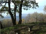 30
30 31
31 32
32 33
33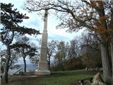 34
34 35
35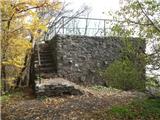 36
36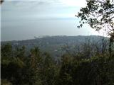 37
37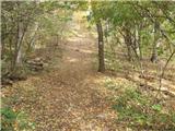 38
38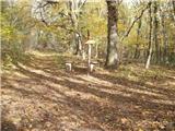 39
39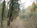 40
40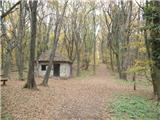 41
41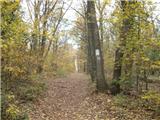 42
42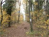 43
43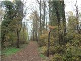 44
44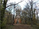 45
45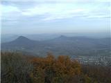 46
46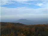 47
47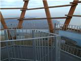 48
48
Discussion about the trail Badacsonytördemic - Badacsony (west path)