Dolenjske Toplice - Paragliding site Peter (Straška gora)
Starting point: Dolenjske Toplice (180 m)
| Lat/Lon: | 45,75889°N 15,056°E |
| |
Time of walking: 50 min
Difficulty: easy unmarked way
Altitude difference: 284 m
Altitude difference po putu: 284 m
Map: Dolenjska - Gorjanci, Kočevski Rog 1:50.000
Recommended equipment (summer):
Recommended equipment (winter):
Views: 1.350
 | 1 person likes this post |
Access to the starting point:
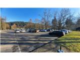
Take the Dolenjske Toplice road from Novo mesto, 15 km, or the Žužemberk-Črnomelj regional road, turn into Podhosta or Podturnu. In Dolenjske Toplice, park in one of the car parks, the most comfortable one is in the large car park opposite the swimming pool complex.
Path description:
In Dolenjske Toplice you will find the path to the park and the trim trail. Cross the Sušica stream over the bridge and take the path on the right just after the bridge. Continue along the path along the stream, passing the sewage treatment plant, and after about 10 minutes you will reach the next bridge, turn left here and get on the asphalt road. Turn right on the road, go past the caravan park, onto the bridge over the river Krka, and immediately after the bridge, take the tarmac road to the right and uphill. You will come to the main road, which you will cross and continue climbing on a narrower asphalt road. After about 300 metres you reach a junction of three roads, here the first direction sign appears. Continue left on the asphalt in the direction of the signpost, or find a shortcut in the woods to shorten your route a little. At the next crossroads, keep left in the direction of the signpost. Here the path climbs quite steeply between the brick houses to a sharp right turn, after which the asphalt also ends quickly. From here we have two options.
a) At the bend, continue straight ahead in the direction of the signpost on the forest track. This climbs steadily up the right-hand bend and then climbs a little steeper and at the end of the climb leads to a dirt road, after which we have about 2 minutes to walk to the top.
b) At the bend turn right onto the dirt track which crosses the slope horizontally above the highest brick houses. The path offers a beautiful view towards Novo mesto, Žumberačka gora and Trška Gora. After about 400 metres, you will see a signpost pointing to the left to metal stairs, which will lead you to a forest path, and on to the summit. From the stairs it takes about 10 minutes to the top.

Pictures:
 1
1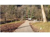 2
2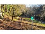 3
3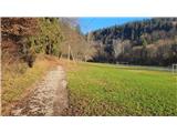 4
4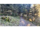 5
5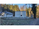 6
6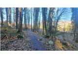 7
7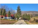 8
8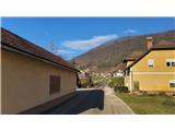 9
9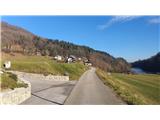 10
10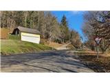 11
11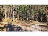 12
12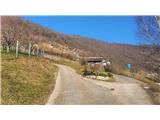 13
13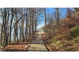 14
14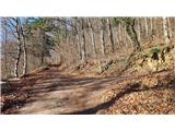 15
15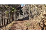 16
16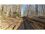 17
17 18
18 19
19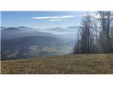 20
20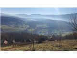 21
21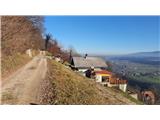 22
22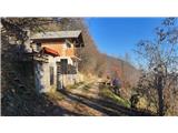 23
23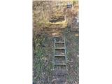 24
24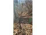 25
25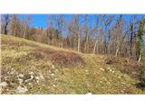 26
26
Discussion about the trail Dolenjske Toplice - Paragliding site Peter (Straška gora)
|
| Lj24. 12. 2021 07:50:06 |
Super, hvala 
|
|
|